Westernieland
Located in Het Hogeland, Province of Groningen Coordinates: 53°24′03″ N 6°29′00″ E

- Population
- 170
- 170
- Elevation
- 1 m
- above sea level
- Local time
- UTC+01:00
- Europe/Amsterdam · UTC+01:00
- Airports
- GRQ Groningen Airport Eelde32 km
- FCN Sea-Airport Cuxhaven/Nordholz / Nordholz Naval Airbase150 km
About Westernieland
Westernieland is a village. Location: Het Hogeland, Province of Groningen. Population: 170. Elevation: 1 m.
Westernieland (Gronings: Westernijland) is a village in the Dutch province of Groningen. It is part of the municipality of Het Hogeland. The village is located near the Wadden Sea.
Source: Wikipedia · CC BY-SA 4.0
Photos of Westernieland
-

Hardscarf · CC BY-SA 4.0 -

Hardscarf · CC BY-SA 4.0 -

J.P. de Koning · CC BY-SA 4.0 -

J.P. de Koning · CC BY-SA 4.0 -

Spoorjan · CC BY-SA 3.0


Climate of Westernieland
Best months for sightseeingBest months for sightseeing: June–August.
This month · November
A cold month
Day 8° · Night 4° · Rain 89 mm
- Hottest month
- August (day 21°)
- Coldest month
- February (night 0°)
- Wettest month
- November (89 mm)
- Driest month
- April (42 mm)
Bars: average monthly low and high temperature. Below: precipitation. Monthly averages for 1970–2000 at about 18 km resolution, adjusted for elevation. Highlighted months are mild and relatively dry. Source: WorldClim 2.1 (CC BY 4.0).
Show values as a table
| Month | Jan | Feb | Mar | Apr | May | Jun | Jul | Aug | Sep | Oct | Nov | Dec |
|---|---|---|---|---|---|---|---|---|---|---|---|---|
| Average high (°C) | 4° | 4° | 8° | 11° | 16° | 18° | 20° | 21° | 18° | 13° | 8° | 5° |
| Average low (°C) | 0° | 0° | 2° | 4° | 8° | 10° | 13° | 13° | 10° | 7° | 4° | 1° |
| Precipitation (mm) | 68 | 47 | 58 | 42 | 51 | 70 | 77 | 65 | 82 | 81 | 89 | 79 |
How to get to Westernieland
The nearest airport is Groningen Airport Eelde (GRQ), 32 km to the south as the crow flies. The nearest large city is Groningen, 21 km to the south.
Airports
- Groningen Airport Eelde (GRQ) Groningen 32 kmsouth
- Sea-Airport Cuxhaven/Nordholz / Nordholz Naval Airbase (FCN) Wurster Nordseeküste 150 kmeast
- Bremen Airport (BRE) Bremen 159 kmeast
Nearby large cities
- Groningen Population: 244.8K 21 kmsouth
- Leeuwarden Population: 124.5K 50 kmsouthwest
- Zwolle Population: 129.8K 102 kmsouth
- Oldenburg Population: 159.2K 119 kmeast
- Enschede Population: 153.7K 134 kmsouth
Straight-line distances; road distances are longer. Airport data: OurAirports.
Day trips from Westernieland
Within 100 km: 68 historic and cultural sites, 201 natural sites, 193 lakes, rivers and coasts.
0–25 km19 places
- Borkum Island 24 kmNE
- Borkum Island 24 kmNE
- Greune Stee Natural site 24 kmNE
- Sendemast des Wasser- und Schiffahrtsamts Borkum Landmark 23 kmNE
25–60 km117 places
- Juist Island 46 kmNE
- Nordstrand Beach 30 kmNE
- Ostbad Beach 60 kmNE
- Westbad Beach 55 kmNE
60–100 km326 places
- East Frisian Islands Island 72 kmNE
- Norderney Island 61 kmNE
- Insel Spiekeroog Island 90 kmNE
- Baltrum Island 71 kmNE
Straight-line distances.
Nearby attractions & nature
Everything nearby-
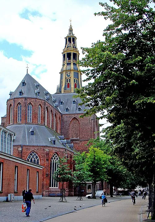 Der Aa-kerk Attraction, Groningen. Municipality21 km S
-
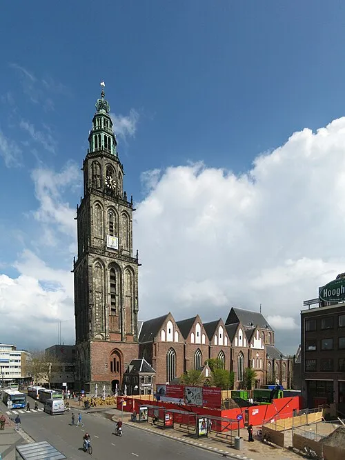 Martinikerk Attraction, Groningen. Municipality21 km S
-
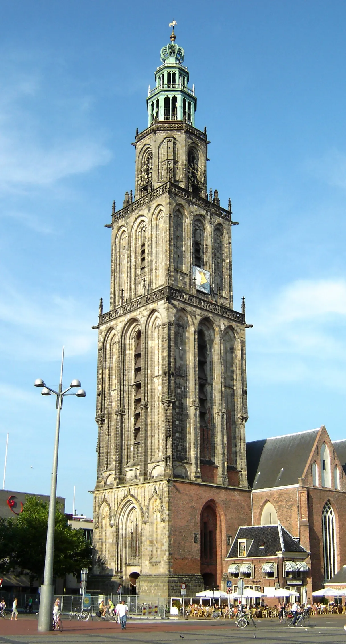 Martinitoren Landmark, Groningen. Municipality21 km S
-
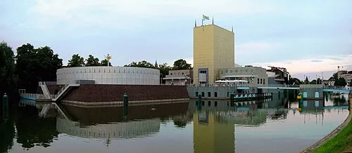 Groninger Museum Museum, Groningen. Municipality22 km S
-
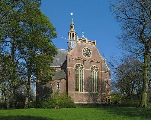 Nieuwe Kerk Attraction, Groningen. Municipality20 km S
-
 Nederlands Stripmuseum Museum, Groningen. Municipality21 km S
Other cities and towns in Het Hogeland
-
 Warffum Village, Het Hogeland5.1 km E
-
 Kloosterburen Village, Het Hogeland6.3 km W
-
 Leens Village, Het Hogeland8.3 km SW
-
 Obergum Village, Het Hogeland7.8 km S
-
 Mensingeweer Village, Het Hogeland5.6 km S
-
 Usquert Village, Het Hogeland8.5 km E
Sources & licences
Data last updated: · 2 independent sources