Hellum
Located in Midden-Groningen Municipality, Province of Groningen Coordinates: 53°14′18″ N 6°50′20″ E

- Population
- 515
- 515
- Elevation
- 2 m
- above sea level
- Local time
- UTC+01:00
- Europe/Amsterdam · UTC+01:00
- Airports
- GRQ Groningen Airport Eelde22 km
- BRE Bremen Airport132 km
About Hellum
Hellum is a village. Location: Midden-Groningen Municipality, Province of Groningen. Population: 515. Elevation: 2 m.
Hellum (Gronings: Helm) is a village in the municipality of Midden-Groningen, the Netherlands.
Source: Wikipedia · CC BY-SA 4.0
Climate of Hellum
Best months for sightseeingBest months for sightseeing: June–August.
This month · November
A cold month
Day 9° · Night 3° · Rain 78 mm
- Hottest month
- August (day 22°)
- Coldest month
- February (night 0°)
- Wettest month
- November (78 mm)
- Driest month
- February (44 mm)
Bars: average monthly low and high temperature. Below: precipitation. Monthly averages for 1970–2000 at about 18 km resolution, adjusted for elevation. Highlighted months are mild and relatively dry. Source: WorldClim 2.1 (CC BY 4.0).
Show values as a table
| Month | Jan | Feb | Mar | Apr | May | Jun | Jul | Aug | Sep | Oct | Nov | Dec |
|---|---|---|---|---|---|---|---|---|---|---|---|---|
| Average high (°C) | 4° | 5° | 8° | 12° | 17° | 19° | 21° | 22° | 18° | 13° | 9° | 6° |
| Average low (°C) | 0° | 0° | 2° | 4° | 8° | 10° | 13° | 13° | 10° | 7° | 3° | 1° |
| Precipitation (mm) | 65 | 44 | 60 | 44 | 54 | 75 | 75 | 65 | 73 | 72 | 78 | 73 |
How to get to Hellum
The nearest airport is Groningen Airport Eelde (GRQ), 22 km to the southwest as the crow flies. The nearest large city is Groningen, 18 km to the west.
Airports
- Groningen Airport Eelde (GRQ) Groningen 22 kmsouthwest
- Bremen Airport (BRE) Bremen 132 kmeast
- Sea-Airport Cuxhaven/Nordholz / Nordholz Naval Airbase (FCN) Wurster Nordseeküste 134 kmnortheast
Nearby large cities
- Groningen Population: 244.8K 18 kmwest
- Leeuwarden Population: 124.5K 69 kmwest
- Oldenburg Population: 159.2K 93 kmeast
- Zwolle Population: 129.8K 95 kmsouthwest
- Enschede Population: 153.7K 114 kmsouth
Straight-line distances; road distances are longer. Airport data: OurAirports.
Day trips from Hellum
Within 100 km: 100 historic and cultural sites, 442 natural sites, 320 lakes, rivers and coasts.
0–25 km15 places
- Mahlbusen Lake 17 kmNE
- Twixlumer Tief River 24 kmNE
- Groothusener Tief River 24 kmNE
- Campen's Lighthouse Landmark 22 kmNE
25–60 km245 places
- Norderney Island 59 kmNE
- Borkum Island 39 kmN
- Juist Island 50 kmN
- Nordstrand Beach 42 kmN
60–100 km602 places
- East Frisian Islands Island 67 kmNE
- Insel Spiekeroog Island 82 kmNE
- Baltrum Island 66 kmNE
- Strand Harlesiel Beach 83 kmNE
Straight-line distances.
Nearby attractions & nature
Everything nearby-
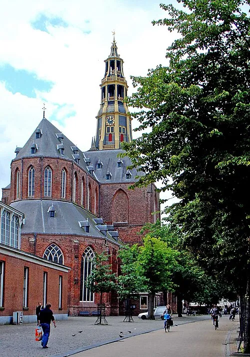 Der Aa-kerk Attraction, Groningen. Municipality19 km W
-
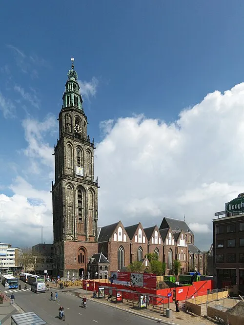 Martinikerk Attraction, Groningen. Municipality18 km W
-
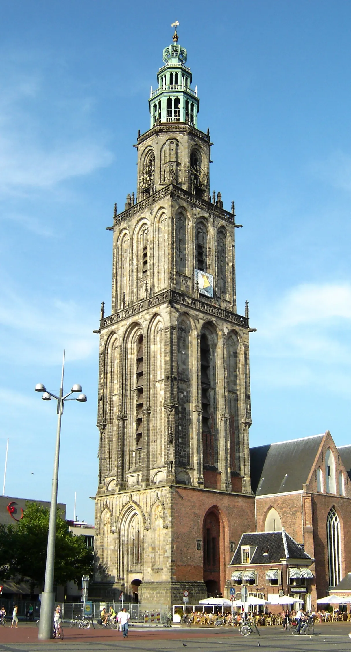 Martinitoren Landmark, Groningen. Municipality18 km W
-
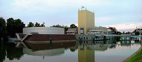 Groninger Museum Museum, Groningen. Municipality18 km W
-
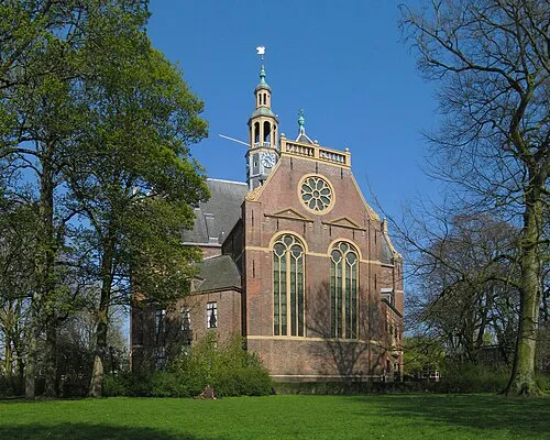 Nieuwe Kerk Attraction, Groningen. Municipality19 km W
-
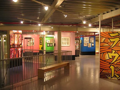 Nederlands Stripmuseum Museum, Groningen. Municipality19 km W
Other cities and towns in Midden-Groningen Municipality
-
 Harkstede Village, Midden-Groningen Municipality9.8 km W
-
 Overschild Village, Midden-Groningen Municipality6 km NW
-
 Zuidbroek Village, Midden-Groningen Municipality8.5 km S
-
 Westerbroek Village, Midden-Groningen Municipality12 km SW
-
 Muntendam Village, Midden-Groningen Municipality12 km S
-
Scharmer Village, Midden-Groningen Municipality9.6 km SW
Sources & licences
Data last updated: · 2 independent sources