Gnephoek
Located in Gemeente Alphen aan den Rijn, South Holland Coordinates: 52°08′24″ N 4°37′40″ E
- Population
- 185
- 185
- Elevation
- -2 m
- above sea level
- Local time
- UTC+01:00
- Europe/Amsterdam · UTC+01:00
- Airports
- AMS Amsterdam Airport Schiphol21 km
- RTM Rotterdam The Hague Airport24 km
About Gnephoek
Gnephoek is a village. Location: Gemeente Alphen aan den Rijn, South Holland. Population: 185. Elevation: -2 m.
Gnephoek is a polder and a hamlet in the Dutch province of South Holland. It is a part of the municipality of Alphen aan den Rijn, and lies about 2 km west of Alphen aan den Rijn. The statistical area "Gnephoek", which also can include the surrounding countryside, has a population of around 250.
Source: Wikipedia · CC BY-SA 4.0
Photos of Gnephoek
-

Vogelpark Avifauna Ziko van Dijk · CC BY-SA 4.0

Climate of Gnephoek
Best months for sightseeingBest months for sightseeing: June–August.
This month · November
A cold month
Day 10° · Night 4° · Rain 93 mm
- Hottest month
- August (day 22°)
- Coldest month
- February (night 0°)
- Wettest month
- November (93 mm)
- Driest month
- April (47 mm)
Bars: average monthly low and high temperature. Below: precipitation. Monthly averages for 1970–2000 at about 18 km resolution, adjusted for elevation. Highlighted months are mild and relatively dry. Source: WorldClim 2.1 (CC BY 4.0).
Show values as a table
| Month | Jan | Feb | Mar | Apr | May | Jun | Jul | Aug | Sep | Oct | Nov | Dec |
|---|---|---|---|---|---|---|---|---|---|---|---|---|
| Average high (°C) | 6° | 6° | 9° | 12° | 17° | 19° | 21° | 22° | 18° | 14° | 10° | 7° |
| Average low (°C) | 1° | 0° | 2° | 4° | 7° | 10° | 12° | 12° | 10° | 7° | 4° | 2° |
| Precipitation (mm) | 70 | 51 | 66 | 47 | 51 | 71 | 72 | 63 | 87 | 89 | 93 | 82 |
How to get to Gnephoek
The nearest airport is Amsterdam Airport Schiphol (AMS), 21 km to the northeast as the crow flies. The nearest large city is Leiden, 9 km to the west.
Airports
- Amsterdam Airport Schiphol (AMS) Amsterdam 21 kmnortheast
- Rotterdam The Hague Airport (RTM) Rotterdam 24 kmsouthwest
- Eindhoven Airport (EIN) Eindhoven 92 kmsoutheast
Nearby large cities
- Leiden Population: 119.7K 9 kmwest
- Zoetermeer Population: 115.8K 13 kmsouthwest
- Hoofddorp Population: 132.7K 19 kmnorth
- The Hague Population: 474.3K 24 kmwest
- Rotterdam Population: 868.1K 26 kmsouthwest
Straight-line distances; road distances are longer. Airport data: OurAirports.
Day trips from Gnephoek
Within 100 km: 156 historic and cultural sites, 117 natural sites, 62 lakes, rivers and coasts.
0–25 km10 places
- Vogelpark Avifauna Attraction 1 kmE
- Den Haag Concentration Camp Historic site 24 kmW
- Oud Poelgeest Historic site 11 kmNW
- Watertoren Landmark 18 kmE
25–60 km108 places
- IJsselmonde Island 31 kmS
- Habana Beach Beach 29 kmW
- Badstrand Rockanje Beach 50 kmSW
- Eiland van Brienenoord Island 27 kmS
60–100 km217 places
- Putjensberg Mountain 98 kmE
- Putse Moer Lake 85 kmS
- Stappensven Lake 82 kmS
- Groot Gat Lake 97 kmS
Straight-line distances.
Nearby attractions & nature
Everything nearby-
Vogelpark Avifauna Attraction, Gemeente Alphen aan den Rijn1.5 km E
-
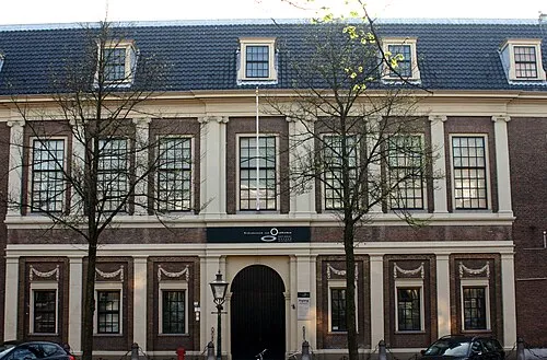 Rijksmuseum van Oudheden Museum, Leiden Municipality9.9 km W
-
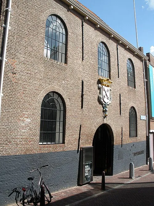 Museum Boerhaave Museum, Leiden Municipality9.8 km W
-
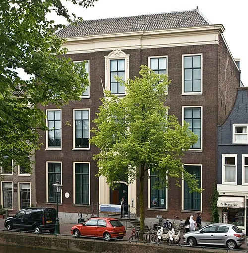 SieboldHuis Museum, Leiden Municipality10 km W
-
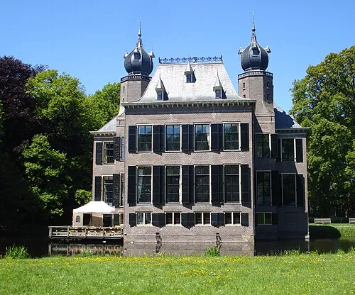 Oud Poelgeest Historic site, Oegstgeest Municipality11 km NW
-
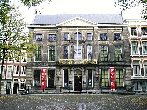 Escher Museum Museum, Gemeente Den Haag22 km W
Other cities and towns in Gemeente Alphen aan den Rijn
-
 Zwammerdam Village, Gemeente Alphen aan den Rijn7.8 km SE
-
 Hazerswoude-Rijndijk Village, Gemeente Alphen aan den Rijn2.8 km SW
-
Vrijhoeven Village, Gemeente Alphen aan den Rijn6.2 km E
-
Voorweg Village, Gemeente Alphen aan den Rijn5.7 km S
-
Groenendijk Village, Gemeente Alphen aan den Rijn4.8 km W
-
 Hazerswoude-Dorp Village, Gemeente Alphen aan den Rijn5.6 km SW
Sources & licences
Data last updated: · 2 independent sources