Leiderdorp Municipality
Located in South Holland, The Netherlands Coordinates: 52°09′25″ N 4°32′35″ E
- Population
- 27,197
- 27.2K
- Elevation
- 3 m
- above sea level
- Local time
- UTC+01:00
- Europe/Amsterdam · UTC+01:00
- Places inside
- 2
- listed under Leiderdorp Municipality
About Leiderdorp Municipality
Leiderdorp Municipality is a district. Location: South Holland, The Netherlands. Population: 27,197.
Leiderdorp (Dutch pronunciation: [ˌlɛidərˈdɔr(ə)p] ) is a town and municipality in the western Netherlands, in the province of South Holland near the city of Leiden. It had a population of 27,377 in 2021. The municipality covers an area of 12.28 km2 (4.74 sq mi) of which 0.70 km2 (0.27 sq mi) is water. Leiderdorp is located next to the city of Leiden, although the Oude Rijn (Old Rhine) river and the Zijl river separate the two.
Read more on Wikipedia Text: Wikipedia contributors · CC BY-SA 4.0 · shortened
At a glance
- Area
- 12.2 km²
Source: Wikidata
In comparison
- 5 sights and natural places within 10 km Museum Boerhaave, Rijksmuseum van Oudheden
- Listed here: Neighbourhood: 1, Town: 1
Airports nearest to Leiderdorp Municipality
- Amsterdam Airport Schiphol (AMS) Amsterdam 23 km
- Rotterdam The Hague Airport (RTM) Rotterdam 23 km
- Eindhoven Airport (EIN) Eindhoven 97 km
Straight-line distance; airports with scheduled flights only. Source: OurAirports (public domain).
Places in Leiderdorp Municipality
2 places-
Leiderdorp Town26K
-
Binnenhof Neighbourhood1.4K
Nearby attractions & nature
Everything nearby-
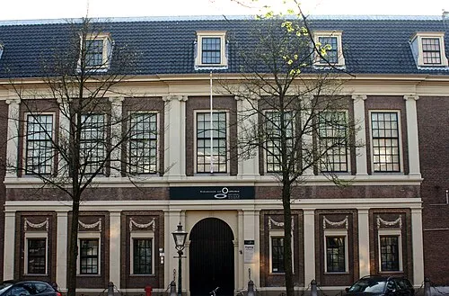 Rijksmuseum van Oudheden Museum, Leiden Municipality3.9 km W
-
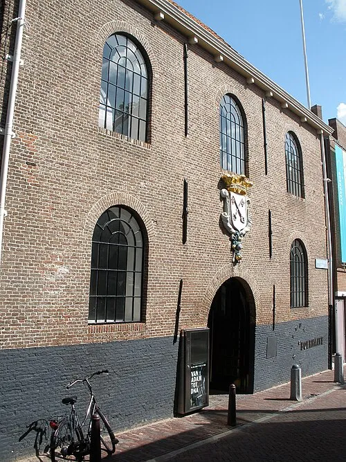 Museum Boerhaave Museum, Leiden Municipality3.7 km W
-
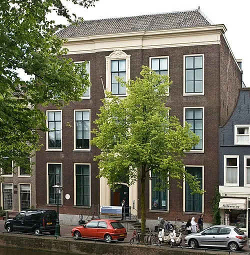 SieboldHuis Museum, Leiden Municipality4 km W
-
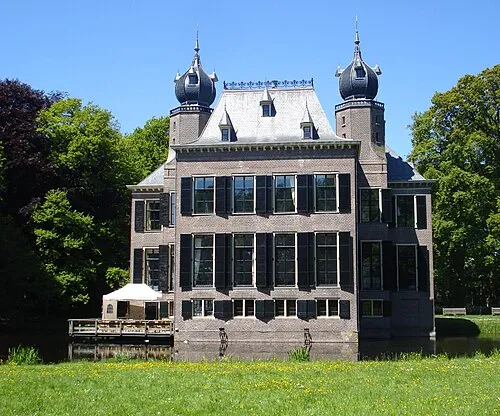 Oud Poelgeest Historic site, Oegstgeest Municipality4.7 km NW
-
 Vogelpark Avifauna Attraction, Gemeente Alphen aan den Rijn7.5 km E
-
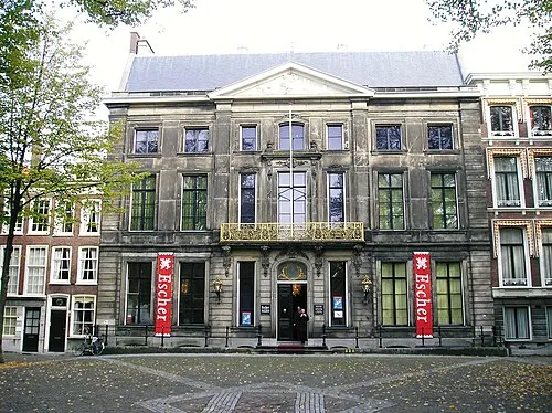 Escher Museum Museum, Gemeente Den Haag18 km SW
Sources & licences
Data last updated: · 2 independent sources