Gemeente Den Haag
Local name: 's-Gravenhage
Located in South Holland, The Netherlands Coordinates: 52°04′07″ N 4°17′11″ E
- Population
- 532,561
- 532.6K
- Elevation
- 4 m
- above sea level
- Local time
- UTC+01:00
- Europe/Amsterdam · UTC+01:00
- Places inside
- 23
- listed under Gemeente Den Haag
- Airports
- RTM Rotterdam The Hague Airport16 km
- AMS Amsterdam Airport Schiphol42 km
About Gemeente Den Haag
Gemeente Den Haag is a district. Location: South Holland, The Netherlands. Population: 532,561.
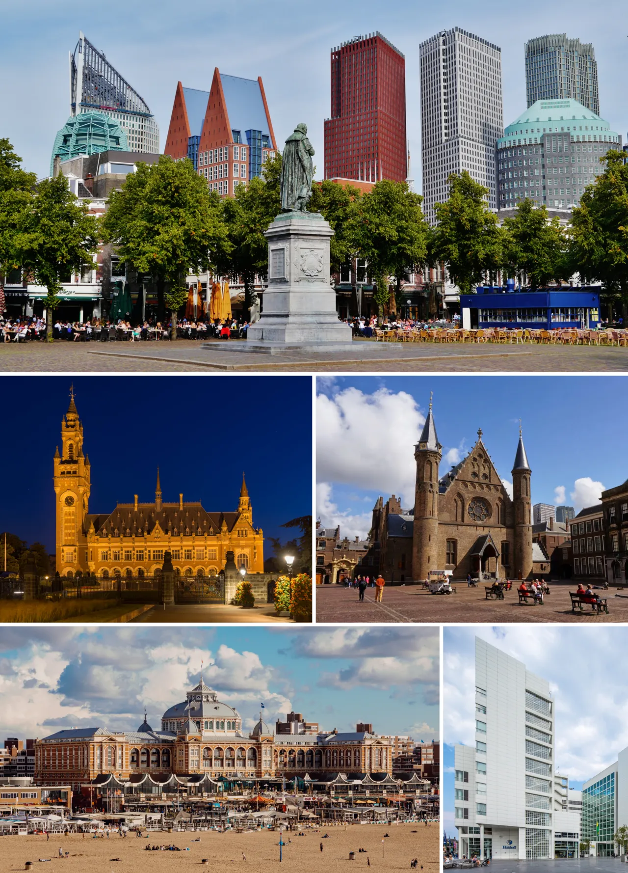
The Hague (Dutch: Den Haag, short for 's-Gravenhage) is the capital city of the South Holland province of the Netherlands. With a population of over half a million, it is the third-largest city in the Netherlands. Situated on the west coast facing the North Sea, The Hague is the country's administrative centre and its seat of government, and has been described as the country's de facto capital since the time of the Dutch Republic, while Amsterdam is the official capital of the Netherlands.
Source: Wikipedia · CC BY-SA 4.0
Travel notes for Gemeente Den Haag
From Wikivoyage
The Hague (Dutch: Den Haag or 's-Gravenhage) is a city in the province of South Holland in the Netherlands. It is the seat of the Dutch parliament and government, and the residence of King Willem-Alexander. It is not the capital city, which is Amsterdam. The municipality (which is the city) has more than 548,000 inhabitants (2021), making it the third largest city in the Netherlands.
The Hague lies on the North Sea and is home to Scheveningen, the most popular seaside resort in the Netherlands. Also the smaller resort of Kijkduin is part of the city.
Understand+
Internationally, The Hague is often known as the "judicial capital of the world" due to the many international courts that are located in the city. Among these are the International Court of Justice, the International Criminal Tribunal for the former Yugoslavia and, since 2004, the International Criminal Court. Beside these institutions, The Hague is home to more than 150 international organizations, and to many EU institutions, multinational companies and embassies. This gave the city a distinct international character — one that is noticeably different from Amsterdam. Rather than having the many foreign tourists and fortune-seekers attracted by Amsterdam's reputation for excitement and liberalism, The Hague generally has more expatriates working and living in the city because of the number of international institutions and companies. Because of this, The Hague has a reputation as a wealthy, conservative and somewhat sedate city.
The Hague has very little of the edginess and excitement of Amsterdam; however, it provides well for its inhabitants in different ways, such as large areas of green space, 11 km of coastline, attractive shopping streets and an extensive multicultural scene. Rather than having canals like other Dutch cities, The Hague has streets and avenues that are just a little bit wider than those in the rest of the country, giving the city a more continental feel. Instead of the typical Dutch renaissance 17th-century step-gabled houses, it has 18th-century mansions in baroque and classicist styles. The city is considered by many as the most stately of the country. Just outside the city centre, posh neighbourhoods effuse a more 19th century look with eclectic and art nouveau architecture.
Get in+
By plane:
The Rotterdam The Hague Airport (RTM IATA) is the closest airport to the city. Metro line E connects Den Haag Centraal station with the Meijersplein, a station close to the airport. The airport terminal is connected with the later one by bus line #33 (which continues further up to the Rotterdam Centraal railway station).
The Schiphol Amsterdam Airport (AMS IATA), is a bit farther. However, with several direct trains per hour from the railway stations Hollands Spoor and Centraal, and also with an hourly night train from station Hollands Spoor, it is more frequently used by people travelling to and from The Hague by air.
By train:
The Hague has two main train stations, serving domestic and international routes.
1 Den Haag Centraal Station (Den Haag CS). is the biggest train station in The Hague. It is within walking distance of the city centre and from Malieveld park. Den Haag Centraal has connections to Amsterdam (45 minutes), Schiphol Airport (30 minutes), Utrecht (35 minutes), Groningen (2½ hours) and many other cities throughout the Randstad and the Netherlands. Passengers coming from Rotterdam can also use that city's Metro line E to travel to Den Haag Centraal. You can get to Centraal Station from a variety of international destinations such as Cologne, Berlin, Frankfurt, Prague, and Basel via the city of Utrecht. Upon arrival, the city centre of The Hague is about a 5 minute walk from the Centraal Station. Leave through the left side entrance (look for the tram station stops) and walk through the glass passageway and straight ahead. There are luggage storage lockers at the station. (updated May 2023)
Source: Wikivoyage · CC BY-SA 4.0 · abridged
Places bordering Gemeente Den Haag
- Gemeente Wassenaar
- Rijswijk Municipality
- Gemeente Zoetermeer
- Delft Municipality
Population of Gemeente Den Haag over time
| 1960 | 605,876 | |
|---|---|---|
| 1971 | 525,368 | |
| 1980 | 456,726 | |
| 1990 | 444,242 | |
| 2000 | 442,356 | |
| 2010 | 495,083 | |
| 2014 | 509,939 | |
| 2015 | 515,880 | |
| 2017 | 524,882 | |
| 2018 | 532,561 | |
| 2019 | 537,833 | |
| 2021 | 548,320 |
Censuses and official estimates; source: Wikidata.
Climate of Gemeente Den Haag
Best months for sightseeingBest months for sightseeing: June–August.
This month · November
A cold month
Day 9° · Night 4° · Rain 98 mm
- Hottest month
- August (day 21°)
- Coldest month
- February (night 0°)
- Wettest month
- November (98 mm)
- Driest month
- April (46 mm)
Bars: average monthly low and high temperature. Below: precipitation. Monthly averages for 1970–2000 at about 18 km resolution, adjusted for elevation. Highlighted months are mild and relatively dry. Source: WorldClim 2.1 (CC BY 4.0).
Show values as a table
| Month | Jan | Feb | Mar | Apr | May | Jun | Jul | Aug | Sep | Oct | Nov | Dec |
|---|---|---|---|---|---|---|---|---|---|---|---|---|
| Average high (°C) | 5° | 6° | 9° | 12° | 16° | 18° | 20° | 21° | 18° | 14° | 9° | 7° |
| Average low (°C) | 1° | 0° | 3° | 4° | 8° | 11° | 13° | 13° | 11° | 8° | 4° | 2° |
| Precipitation (mm) | 69 | 50 | 64 | 46 | 49 | 67 | 67 | 63 | 90 | 94 | 98 | 80 |
How to get to Gemeente Den Haag
The nearest airport is Rotterdam The Hague Airport (RTM), 16 km to the southeast as the crow flies. The nearest large city is The Hague, 1 km to the northeast.
Airports
- Rotterdam The Hague Airport (RTM) Rotterdam 16 kmsoutheast
- Amsterdam Airport Schiphol (AMS) Amsterdam 42 kmnortheast
- Antwerp International Airport (Deurne) (ANR) Antwerp 98 kmsouth
Nearby large cities
- The Hague Population: 474.3K 1 kmnortheast
- Zoetermeer Population: 115.8K 14 kmeast
- Leiden Population: 119.7K 17 kmnortheast
- Rotterdam Population: 868.1K 21 kmsoutheast
- Hoofddorp Population: 132.7K 38 kmnortheast
Straight-line distances; road distances are longer. Airport data: OurAirports.
Day trips from Gemeente Den Haag
Within 100 km: 169 historic and cultural sites, 64 natural sites, 100 lakes, rivers and coasts.
0–25 km20 places
- Habana Beach Beach 5 kmW
- Hoek van Holland Natural site 16 kmSW
- Den Haag Concentration Camp Historic site 1 kmE
- Oud Poelgeest Historic site 18 kmNE
25–60 km79 places
- IJsselmonde Island 27 kmSE
- Ouddorp Beach Beach 39 kmSW
- Badstrand Rockanje Beach 28 kmSW
- Eiland van Brienenoord Island 26 kmSE
60–100 km234 places
- Het Eiland Island 98 kmS
- Wolvenbos Natural site 83 kmS
- Wegmeerheide Natural site 88 kmSE
- Steenhovens Natural site 80 kmS
Straight-line distances.
Places in Gemeente Den Haag
23 places- 1 The Hague 474.3K
- 2 Ypenburg 30K
- 3 Bezuidenhout 19.8K
- 4 Benoordenhout 12.8K
- 5 Statenkwartier 9.3K
- 6 Duindorp 5.9K
- 7 Vogelwijk 5.2K
- 8 Spoorwijk 4.3K
- 9 Duinzigt 2.5K
- 10 Kijkduin 1.5K
Bar: population relative to the most populous place in this list.
Cities & villages9
- Centrum · Municipality
- Escamp · Municipality
- Haagse Hout · Municipality
- Laak · Municipality
- Leidschenveen-Ypenburg · Municipality
- Loosduinen · Municipality
- Morgenstond · Neighbourhood
- Scheveningen · Municipality
- Segbroek · Municipality
Lakes, rivers & coasts1
- Habana Beach · Beach
Heritage & sights3
- Escher Museum · Museum
- GEM · Museum
- Museon · Museum
Nearby attractions & nature
Everything nearby-
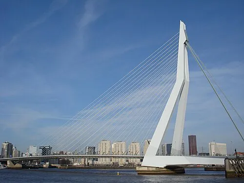 Erasmusbrug Landmark, Rotterdam Municipality22 km SE
-
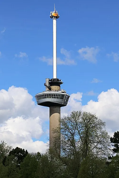 Euromast Landmark, Rotterdam Municipality22 km SE
-
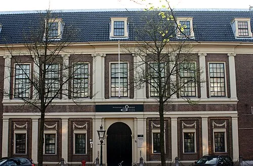 Rijksmuseum van Oudheden Museum, Leiden Municipality17 km NE
-
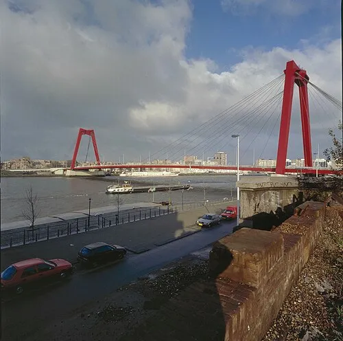 Willemsbrug Landmark, Rotterdam Municipality22 km SE
-
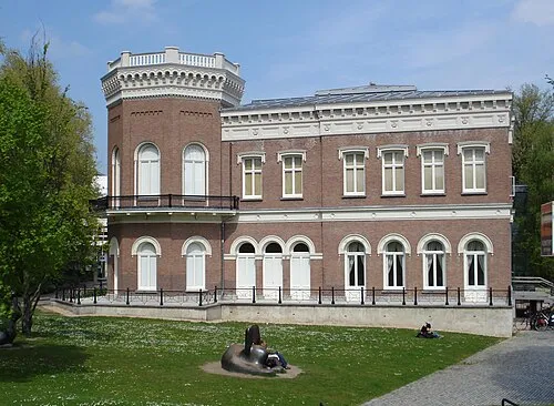 Natuurhistorisch Museum Rotterdam Museum, Rotterdam Municipality22 km SE
-
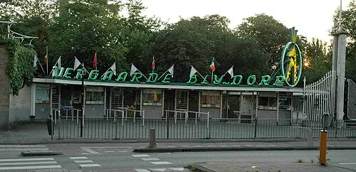 Diergaarde Blijdorp Attraction, Rotterdam Municipality19 km SE
Sources & licences
Data last updated: · 2 independent sources