Erasmusbrug
Located in Rotterdam Municipality, South Holland Coordinates: 51°54′32″ N 4°29′13″ E
- Local time
- UTC+01:00
- Europe/Amsterdam · UTC+01:00
- Elevation
- -3 m
- above sea level
- Airports
- RTM Rotterdam The Hague Airport6 km
- AMS Amsterdam Airport Schiphol48 km
About Erasmusbrug
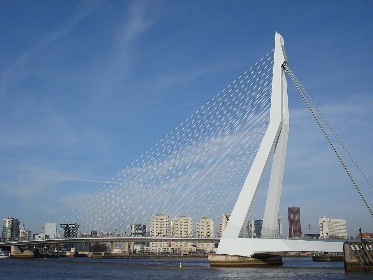
Erasmusbrug is a landmark. Location: Rotterdam Municipality, South Holland.
The Erasmusbrug (English: "Erasmus Bridge") is a combined cable-stayed and bascule bridge. Construction began in 1986 and was completed in 1996. It crosses the Nieuwe Maas in the centre of Rotterdam, connecting the north and south parts of the city. The bridge was named in 1992 after Desiderius Erasmus, a prominent Christian Renaissance humanist also known as Erasmus of Rotterdam. The Erasmus Bridge is Rotterdam's most important landmark and is even part of the city's official logo.
Source: Wikipedia · CC BY-SA 4.0
At a glance
- Built
- 1996
- Opened
- 1996
- Architect
- Ben van Berkel, UNStudio
- Height
- 139 m
- Length
- 0.8 km
Source: Wikidata
Photos of Erasmusbrug
-

Paul van de Velde from Netherlands · CC BY 2.0 -

Mozzihh · CC BY-SA 4.0 -

Guilhem Vellut from Annecy, France · CC BY 2.0 -

Guilhem Vellut from Annecy, France · CC BY 2.0 -

Daniel from Glasgow, United Kingdom · CC BY 2.0


Climate of Erasmusbrug
Best months for sightseeingBest months for sightseeing: June–August.
This month · November
A cold month
Day 10° · Night 4° · Rain 96 mm
- Hottest month
- August (day 22°)
- Coldest month
- February (night 1°)
- Wettest month
- November (96 mm)
- Driest month
- April (48 mm)
Bars: average monthly low and high temperature. Below: precipitation. Monthly averages for 1970–2000 at about 18 km resolution, adjusted for elevation. Highlighted months are mild and relatively dry. Source: WorldClim 2.1 (CC BY 4.0).
Show values as a table
| Month | Jan | Feb | Mar | Apr | May | Jun | Jul | Aug | Sep | Oct | Nov | Dec |
|---|---|---|---|---|---|---|---|---|---|---|---|---|
| Average high (°C) | 6° | 6° | 9° | 12° | 17° | 20° | 22° | 22° | 19° | 14° | 10° | 7° |
| Average low (°C) | 1° | 1° | 3° | 4° | 8° | 11° | 13° | 13° | 11° | 7° | 4° | 2° |
| Precipitation (mm) | 71 | 53 | 69 | 48 | 53 | 72 | 77 | 64 | 86 | 92 | 96 | 82 |
How to get to Erasmusbrug
The nearest airport is Rotterdam The Hague Airport (RTM), 6 km to the northwest as the crow flies. The nearest large city is Rotterdam, 2 km to the north.
Airports
- Rotterdam The Hague Airport (RTM) Rotterdam 6 kmnorthwest
- Amsterdam Airport Schiphol (AMS) Amsterdam 48 kmnortheast
- Eindhoven Airport (EIN) Eindhoven 80 kmsoutheast
Nearby large cities
- Rotterdam Population: 868.1K 2 kmnorth
- Zoetermeer Population: 115.8K 17 kmnorth
- Dordrecht Population: 119.3K 17 kmsoutheast
- The Hague Population: 474.3K 23 kmnorthwest
- Leiden Population: 119.7K 28 kmnorth
Straight-line distances; road distances are longer. Airport data: OurAirports.
Day trips from Erasmusbrug
Within 100 km: 203 historic and cultural sites, 127 natural sites, 234 lakes, rivers and coasts.
0–25 km17 places
- IJsselmonde Island 5 kmSE
- Eiland van Brienenoord Island 4 kmE
- Den Haag Concentration Camp Historic site 22 kmNW
- Slot Honingen Historic site 2 kmNE
25–60 km119 places
- Putse Moer Lake 59 kmS
- Stappensven Lake 56 kmS
- Hassel Bos Natural site 57 kmS
- Gouverneurs Bos Natural site 58 kmSE
60–100 km428 places
- Het Eiland Island 86 kmSW
- Kleine Weel Lake 73 kmS
- Grote Weel Lake 73 kmS
- Grote Geule Lake 73 kmS
Straight-line distances.
Nearby attractions & nature
Everything nearby-
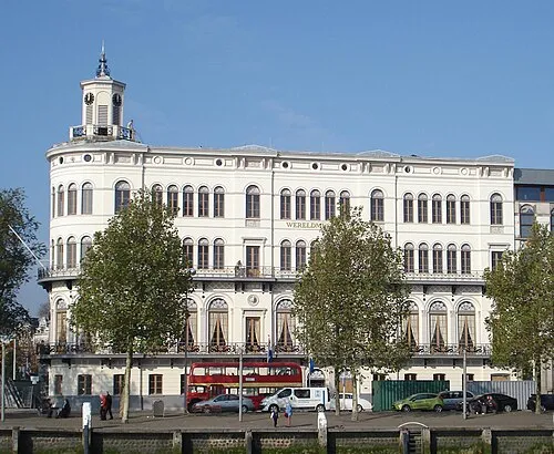 Wereldmuseum Rotterdam Museum, Rotterdam Municipality0.4 km W
-
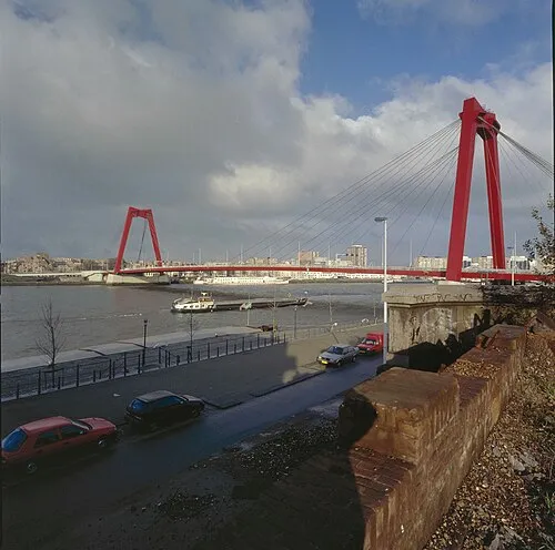 Willemsbrug Landmark, Rotterdam Municipality1.1 km NE
-
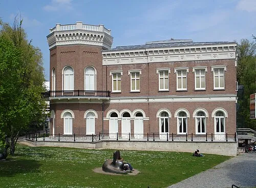 Natuurhistorisch Museum Rotterdam Museum, Rotterdam Municipality1 km W
-
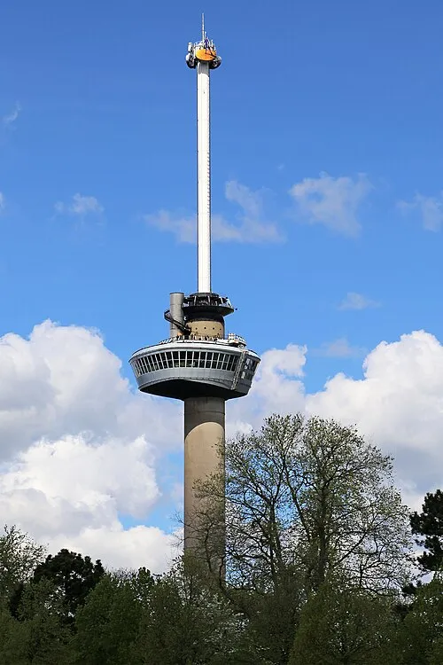 Euromast Landmark, Rotterdam Municipality1.5 km W
-
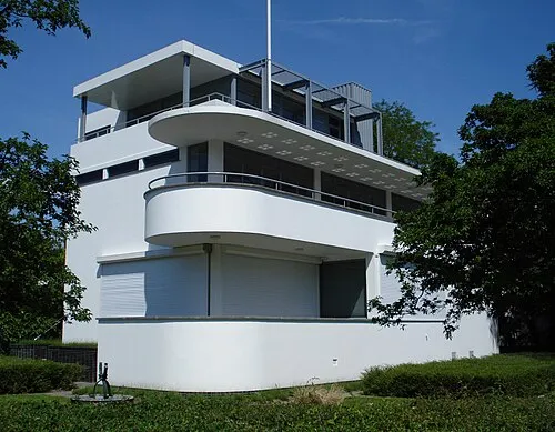 Chabot Museum Museum, Rotterdam Municipality1.2 km NW
-
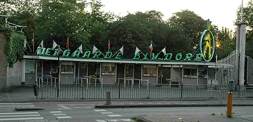 Diergaarde Blijdorp Attraction, Rotterdam Municipality3.1 km NW
-
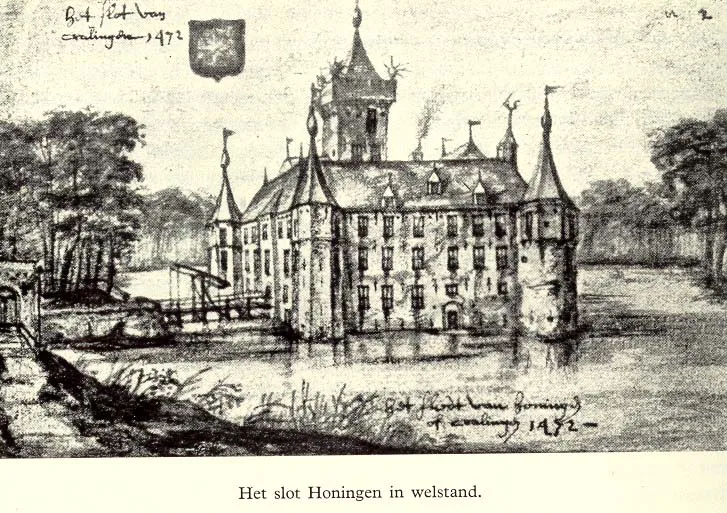 Slot Honingen Historic site, Rotterdam Municipality2.4 km NE
-
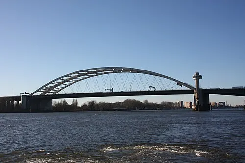 Van Brienenoordbrug Landmark, Rotterdam Municipality3.9 km E
Nearest towns and villages
-
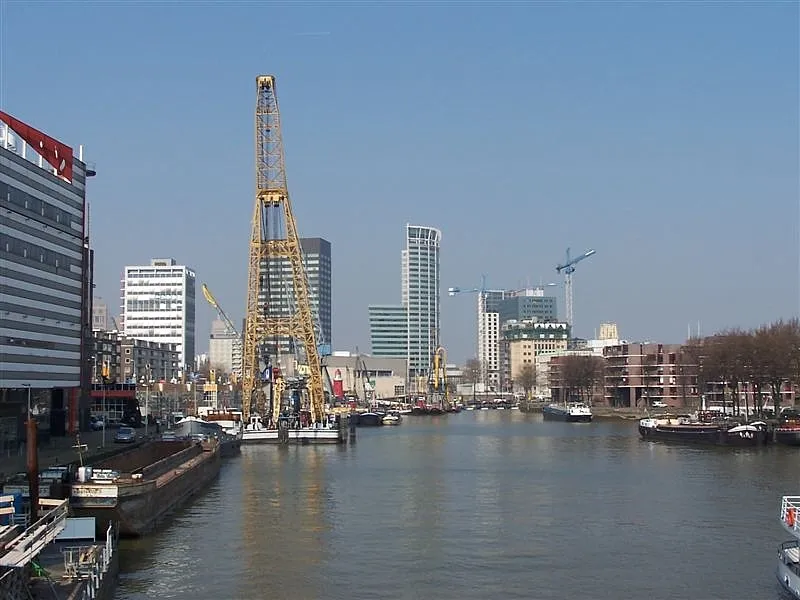 Rotterdam City, Rotterdam Municipality1.6 km N
-
Kop van Zuid Village, Rotterdam Municipality0.4 km S
-
Katendrecht Neighbourhood, Rotterdam Municipality1 km S
-
Bloemhof Neighbourhood, Rotterdam Municipality1.6 km SE
Sources & licences
Data last updated: · 2 independent sources