Rotterdam Municipality
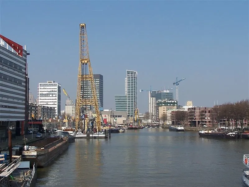
Located in South Holland, The Netherlands Coordinates: 51°52′57″ N 4°17′16″ E
- Population
- 651,157
- 651.2K
- Elevation
- 4 m
- above sea level
- Local time
- UTC+01:00
- Europe/Amsterdam · UTC+01:00
- Places inside
- 44
- listed under Rotterdam Municipality
- Airports
- RTM Rotterdam The Hague Airport13 km
- AMS Amsterdam Airport Schiphol58 km
About Rotterdam Municipality
Rotterdam Municipality is a district. Location: South Holland, The Netherlands. Population: 651,157. The best months to visit are June–August. The nearest airport is Rotterdam The Hague Airport (13 km). Nearby sights include Stedelijk Museum Schiedam and IJsselmonde.
Climate of Rotterdam Municipality
Best months for sightseeingBest months for sightseeing: June–August.
This month · November
A cold month
Day 10° · Night 4° · Rain 95 mm
- Hottest month
- August (day 21°)
- Coldest month
- February (night 1°)
- Wettest month
- November (95 mm)
- Driest month
- April (45 mm)
Bars: average monthly low and high temperature. Below: precipitation. Monthly averages for 1970–2000 at about 18 km resolution, adjusted for elevation. Highlighted months are mild and relatively dry. Source: WorldClim 2.1 (CC BY 4.0).
Show values as a table
| Month | Jan | Feb | Mar | Apr | May | Jun | Jul | Aug | Sep | Oct | Nov | Dec |
|---|---|---|---|---|---|---|---|---|---|---|---|---|
| Average high (°C) | 6° | 6° | 9° | 12° | 17° | 19° | 21° | 21° | 18° | 14° | 10° | 7° |
| Average low (°C) | 1° | 1° | 3° | 4° | 8° | 11° | 13° | 13° | 11° | 8° | 4° | 2° |
| Precipitation (mm) | 68 | 50 | 65 | 45 | 50 | 70 | 71 | 62 | 86 | 91 | 95 | 79 |
How to get to Rotterdam Municipality
The nearest airport is Rotterdam The Hague Airport (RTM), 13 km to the northeast as the crow flies. The nearest large city is Rotterdam, 14 km to the east.
Airports
- Rotterdam The Hague Airport (RTM) Rotterdam 13 kmnortheast
- Amsterdam Airport Schiphol (AMS) Amsterdam 58 kmnortheast
- Antwerp International Airport (Deurne) (ANR) Antwerp 78 kmsouth
Nearby large cities
- Rotterdam Population: 868.1K 14 kmeast
- The Hague Population: 474.3K 22 kmnorth
- Zoetermeer Population: 115.8K 24 kmnortheast
- Dordrecht Population: 119.3K 28 kmeast
- Leiden Population: 119.7K 34 kmnortheast
Straight-line distances; road distances are longer. Airport data: OurAirports.
Day trips from Rotterdam Municipality
Within 100 km: 199 historic and cultural sites, 96 natural sites, 244 lakes, rivers and coasts.
0–25 km22 places
- IJsselmonde Island 16 kmE
- Habana Beach Beach 21 kmN
- Badstrand Rockanje Beach 17 kmW
- Eiland van Brienenoord Island 17 kmE
25–60 km54 places
- Putse Moer Lake 56 kmS
- Stappensven Lake 54 kmS
- Steenhovens Natural site 59 kmS
- Kruisberg Natural site 59 kmS
60–100 km463 places
- Knokke-Strand Beach 91 kmSW
- Het Eiland Island 78 kmS
- Kleine Weel Lake 67 kmS
- Grote Weel Lake 67 kmS
Straight-line distances.
Places in Rotterdam Municipality
44 places- 1 Rotterdam 868.1K
- 2 Hoogvliet 35K
- 3 Groot IJsselmonde 28.1K
- 4 Ommoord 25.2K
- 5 Schiebroek 16.3K
- 6 Hillegersberg 16K
- 7 Lombardijen 13.8K
- 8 Vreewijk 13.7K
- 9 Bloemhof 13.7K
- 10 Zuidwijk 12.5K
- 11 Rozenburg 12.4K
- 12 Pendrecht 11.9K
- 13 Spangen 10.3K
- 14 's-Gravenland 10K
- 15 Hoek van Holland 9.4K
- 16 Feijenoord 7.3K
- 17 Delfshaven 7.2K
- 18 Overschie 6.7K
- 19 Pernis 4.8K
- 20 Katendrecht 4.8K
- 21 Terbregge 3.5K
- 22 Kop van Zuid 2.2K
- 23 Heijplaat 1.4K
- 24 Oud Verlaat 380
Bar: population relative to the most populous place in this list.
Cities & villages8
- Groeneweg · Village
- Hordijkerveld · Neighbourhood
- Kandelaar · Village
- Meeuwenplaat · Village
- Oudeland · Neighbourhood
- Westpunt · Neighbourhood
- Zalmplaat · Neighbourhood
- Zweth · Village
Mountains & nature1
- Hoek van Holland · Natural site
Lakes, rivers & coasts1
- Eiland van Brienenoord · Island
Heritage & sights10
- Chabot Museum · Museum
- Diergaarde Blijdorp · Attraction
- Erasmusbrug · Landmark
- Euromast · Landmark
- Hoek van Holland Fort · Historic site
- Natuurhistorisch Museum Rotterdam · Museum
- Slot Honingen · Historic site
- Van Brienenoordbrug · Landmark
- Wereldmuseum Rotterdam · Museum
- Willemsbrug · Landmark
Nearby attractions & nature
Everything nearby-
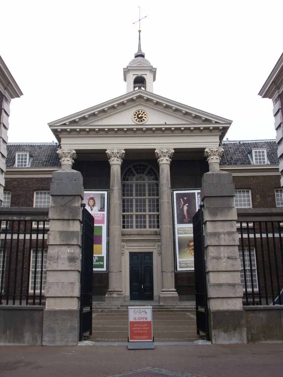 Stedelijk Museum Schiedam Museum, Schiedam Municipality8.4 km NE
-
IJsselmonde Island, South Holland16 km E
-
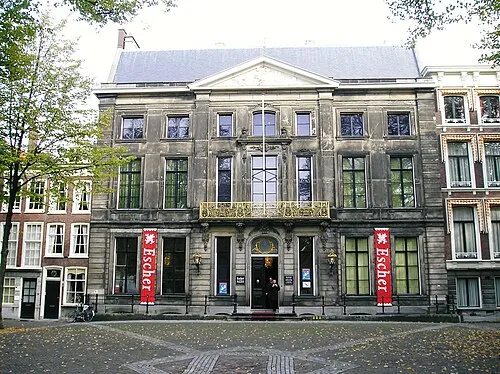 Escher Museum Museum, Gemeente Den Haag22 km N
-
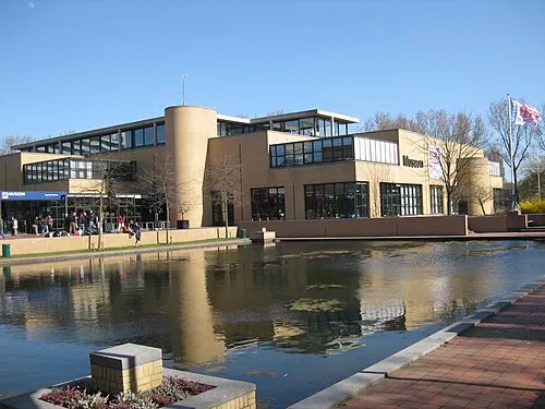 Museon Museum, Gemeente Den Haag23 km N
-
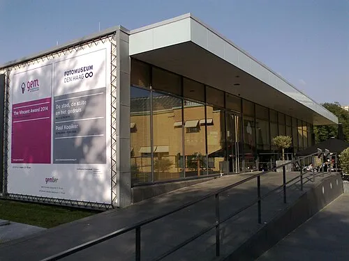 GEM Museum, Gemeente Den Haag23 km N
-
Haringvlietbrug Landmark, The Netherlands20 km SE
Sources & licences
Data last updated: