Groeneweg
Located in Rotterdam Municipality, South Holland Coordinates: 51°59′03″ N 4°35′50″ E
- Elevation
- -7 m
- above sea level
- Local time
- UTC+01:00
- Europe/Amsterdam · UTC+01:00
- Airports
- RTM Rotterdam The Hague Airport11 km
- AMS Amsterdam Airport Schiphol38 km
About Groeneweg
Groeneweg is a village. Location: Rotterdam Municipality, South Holland. Elevation: -7 m. The best months to visit are June–August. The nearest airport is Rotterdam The Hague Airport (11 km). Nearby sights include Willemsbrug and Erasmusbrug.
At a glance
- Built
- 1994
Source: Wikidata
Climate of Groeneweg
Best months for sightseeingBest months for sightseeing: June–August.
This month · November
A cold month
Day 10° · Night 4° · Rain 93 mm
- Hottest month
- August (day 22°)
- Coldest month
- February (night 0°)
- Wettest month
- November (93 mm)
- Driest month
- April (49 mm)
Bars: average monthly low and high temperature. Below: precipitation. Monthly averages for 1970–2000 at about 18 km resolution, adjusted for elevation. Highlighted months are mild and relatively dry. Source: WorldClim 2.1 (CC BY 4.0).
Show values as a table
| Month | Jan | Feb | Mar | Apr | May | Jun | Jul | Aug | Sep | Oct | Nov | Dec |
|---|---|---|---|---|---|---|---|---|---|---|---|---|
| Average high (°C) | 6° | 6° | 9° | 13° | 17° | 20° | 22° | 22° | 19° | 14° | 10° | 7° |
| Average low (°C) | 1° | 0° | 2° | 4° | 8° | 11° | 13° | 12° | 10° | 7° | 4° | 2° |
| Precipitation (mm) | 71 | 54 | 70 | 49 | 55 | 74 | 76 | 64 | 82 | 88 | 93 | 82 |
How to get to Groeneweg
The nearest airport is Rotterdam The Hague Airport (RTM), 11 km to the west as the crow flies. The nearest large city is Rotterdam, 11 km to the southwest.
Airports
- Rotterdam The Hague Airport (RTM) Rotterdam 11 kmwest
- Amsterdam Airport Schiphol (AMS) Amsterdam 38 kmnorth
- Eindhoven Airport (EIN) Eindhoven 80 kmsoutheast
Nearby large cities
- Rotterdam Population: 868.1K 11 kmsouthwest
- Zoetermeer Population: 115.8K 11 kmnorthwest
- Dordrecht Population: 119.3K 20 kmsouth
- Leiden Population: 119.7K 21 kmnorth
- The Hague Population: 474.3K 23 kmnorthwest
Straight-line distances; road distances are longer. Airport data: OurAirports.
Day trips from Groeneweg
Within 100 km: 194 historic and cultural sites, 141 natural sites, 174 lakes, rivers and coasts.
0–25 km23 places
- IJsselmonde Island 14 kmSW
- Eiland van Brienenoord Island 10 kmSW
- Vogelpark Avifauna Attraction 18 kmN
- Den Haag Concentration Camp Historic site 23 kmNW
25–60 km106 places
- Essen Duinen Natural site 57 kmS
- Zoom River 59 kmSW
- Leijloop River 55 kmS
- Heerlese Loop River 57 kmS
60–100 km380 places
- Het Eiland Island 96 kmSW
- Putse Moer Lake 68 kmS
- Stappensven Lake 65 kmS
- Kleine Weel Lake 83 kmS
Straight-line distances.
Nearby attractions & nature
Everything nearby-
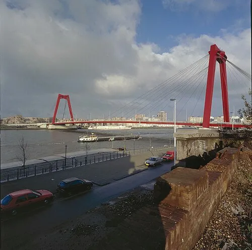 Willemsbrug Landmark, Rotterdam Municipality10 km SW
-
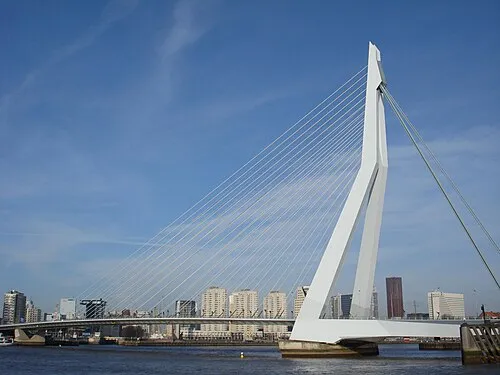 Erasmusbrug Landmark, Rotterdam Municipality11 km SW
-
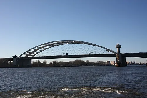 Van Brienenoordbrug Landmark, Rotterdam Municipality9.7 km SW
-
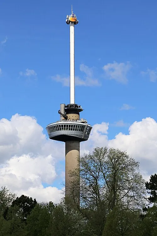 Euromast Landmark, Rotterdam Municipality13 km SW
-
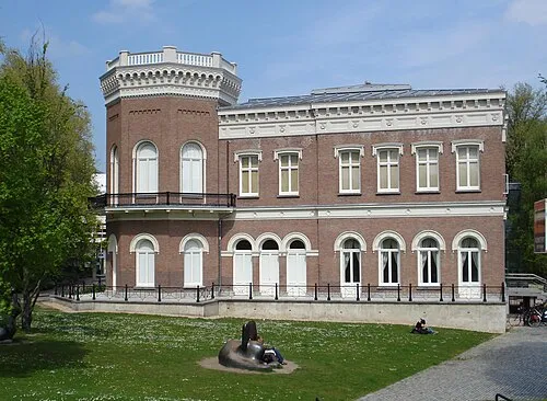 Natuurhistorisch Museum Rotterdam Museum, Rotterdam Municipality12 km SW
-
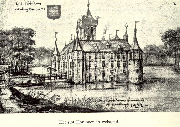 Slot Honingen Historic site, Rotterdam Municipality9 km SW
Other cities and towns in Rotterdam Municipality
-
Hillegersberg Neighbourhood, Rotterdam Municipality8.5 km SW
-
's-Gravenland Neighbourhood, Rotterdam Municipality7.4 km SW
-
Terbregge Neighbourhood, Rotterdam Municipality6.6 km SW
-
Schiebroek Neighbourhood, Rotterdam Municipality9.1 km W
-
 Vreewijk Neighbourhood, Rotterdam Municipality12 km SW
-
 Kop van Zuid Village, Rotterdam Municipality12 km SW
Sources & licences
Data last updated: · 2 independent sources