Euromast
Located in Rotterdam Municipality, South Holland Coordinates: 51°54′20″ N 4°28′00″ E
- Local time
- UTC+01:00
- Europe/Amsterdam · UTC+01:00
- Elevation
- 7 m
- above sea level
- Airports
- RTM Rotterdam The Hague Airport6 km
- AMS Amsterdam Airport Schiphol49 km
About Euromast
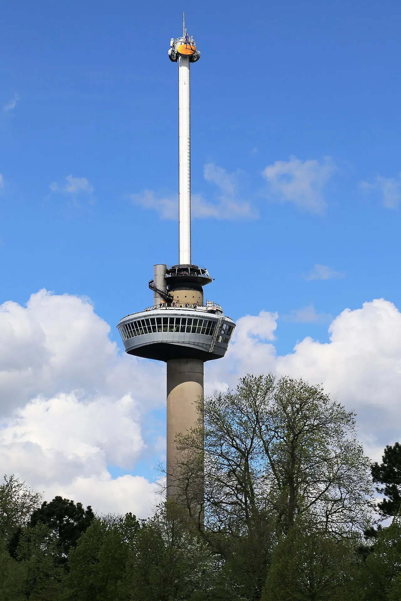
Euromast is a landmark. Location: Rotterdam Municipality, South Holland.
Euromast is an observation tower in Rotterdam, Netherlands, designed by Hugh Maaskant constructed between 1958 and 1960. It was specially built for the 1960 Floriade, and is a listed monument since 2010. The tower is a concrete structure with an internal diameter of 9 m (30 ft) and a wall thickness of 30 cm (12 in). For stability it is built on a concrete block of 1,900,000 kg (4,200,000 lb) so that the centre of gravity is below ground.
Source: Wikipedia · CC BY-SA 4.0
At a glance
- Built
- 1958
- Opened
- 1960
- Architect
- Hugh Maaskant
- Architectural style
- modern architecture
- Heritage designation
- Rijksmonument
- Height
- 184 m
- Official website
- euromast.nl
Source: Wikidata
Photos of Euromast
-

Guilhem Vellut from Annecy, France · CC BY 2.0 -

Guilhem Vellut from Annecy, France · CC BY 2.0 -
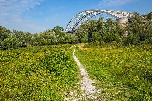
Eiland van Brienenoord GraphyArchy · CC BY-SA 4.0 -
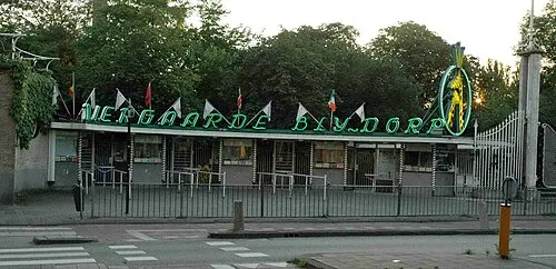
Diergaarde Blijdorp The original uploader was Sherpa at Dutch Wikipedia · CC BY-SA 3.0 -
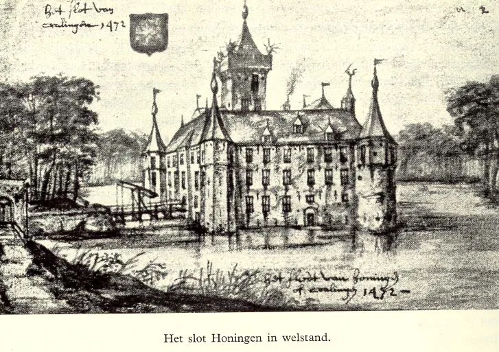
Slot Honingen Unknown author Unknown author · Public domain


Climate of Euromast
Best months for sightseeingBest months for sightseeing: June–August.
This month · November
A cold month
Day 10° · Night 4° · Rain 96 mm
- Hottest month
- August (day 22°)
- Coldest month
- February (night 1°)
- Wettest month
- November (96 mm)
- Driest month
- April (48 mm)
Bars: average monthly low and high temperature. Below: precipitation. Monthly averages for 1970–2000 at about 18 km resolution, adjusted for elevation. Highlighted months are mild and relatively dry. Source: WorldClim 2.1 (CC BY 4.0).
Show values as a table
| Month | Jan | Feb | Mar | Apr | May | Jun | Jul | Aug | Sep | Oct | Nov | Dec |
|---|---|---|---|---|---|---|---|---|---|---|---|---|
| Average high (°C) | 6° | 6° | 9° | 12° | 17° | 20° | 22° | 22° | 19° | 14° | 10° | 7° |
| Average low (°C) | 1° | 1° | 3° | 4° | 8° | 11° | 13° | 13° | 11° | 7° | 4° | 2° |
| Precipitation (mm) | 71 | 53 | 69 | 48 | 53 | 72 | 77 | 64 | 86 | 92 | 96 | 82 |
How to get to Euromast
The nearest airport is Rotterdam The Hague Airport (RTM), 6 km to the north as the crow flies. The nearest large city is Rotterdam, 2 km to the northeast.
Airports
- Rotterdam The Hague Airport (RTM) Rotterdam 6 kmnorth
- Amsterdam Airport Schiphol (AMS) Amsterdam 49 kmnortheast
- Antwerp International Airport (Deurne) (ANR) Antwerp 80 kmsouth
Nearby large cities
- Rotterdam Population: 868.1K 2 kmnortheast
- Zoetermeer Population: 115.8K 17 kmnorth
- Dordrecht Population: 119.3K 18 kmsoutheast
- The Hague Population: 474.3K 22 kmnorthwest
- Leiden Population: 119.7K 28 kmnorth
Straight-line distances; road distances are longer. Airport data: OurAirports.
Day trips from Euromast
Within 100 km: 203 historic and cultural sites, 123 natural sites, 233 lakes, rivers and coasts.
0–25 km18 places
- IJsselmonde Island 6 kmSE
- Habana Beach Beach 25 kmNW
- Eiland van Brienenoord Island 5 kmE
- Den Haag Concentration Camp Historic site 22 kmNW
25–60 km110 places
- Putse Moer Lake 58 kmS
- Stappensven Lake 55 kmS
- Hassel Bos Natural site 57 kmS
- Gouverneurs Bos Natural site 58 kmSE
60–100 km431 places
- Het Eiland Island 85 kmSW
- Kleine Weel Lake 72 kmS
- Grote Weel Lake 72 kmS
- Grote Geule Lake 72 kmS
Straight-line distances.
Nearby attractions & nature
Everything nearby-
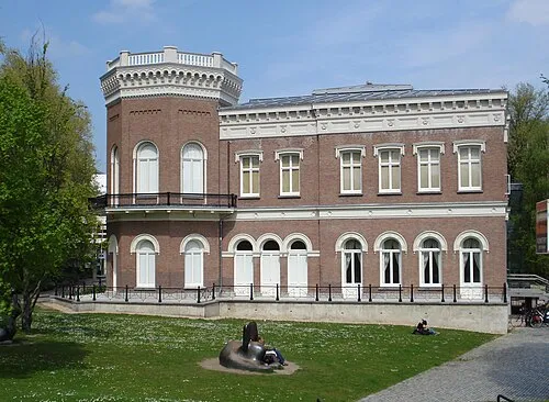 Natuurhistorisch Museum Rotterdam Museum, Rotterdam Municipality0.7 km NE
-
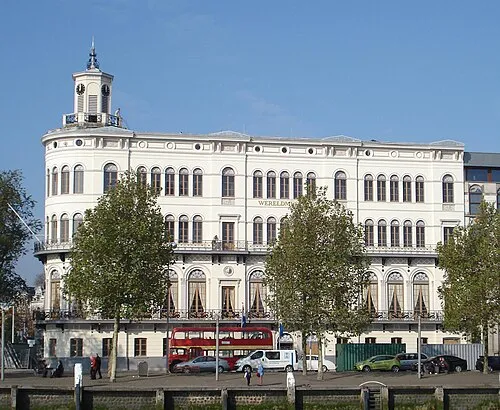 Wereldmuseum Rotterdam Museum, Rotterdam Municipality1 km E
-
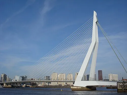 Erasmusbrug Landmark, Rotterdam Municipality1.5 km E
-
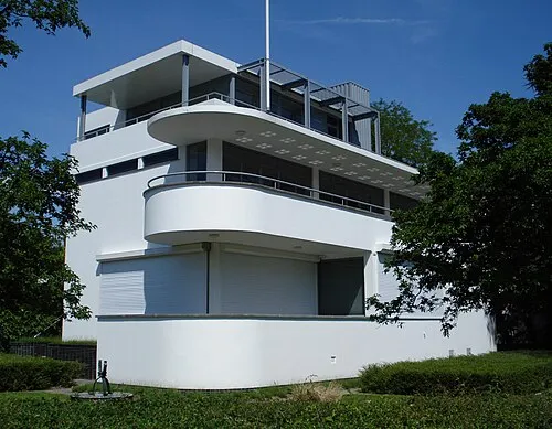 Chabot Museum Museum, Rotterdam Municipality1.1 km N
-
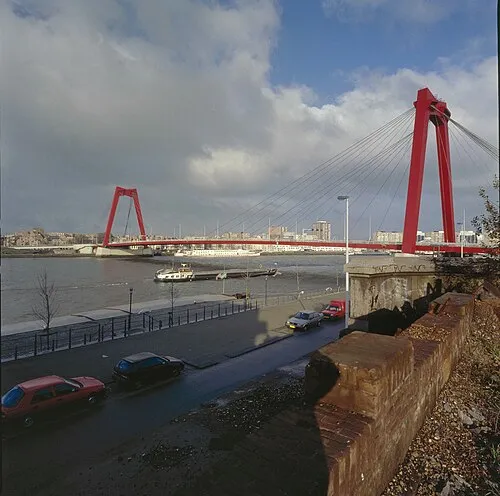 Willemsbrug Landmark, Rotterdam Municipality2.4 km NE
-
Diergaarde Blijdorp Attraction, Rotterdam Municipality2.6 km NW
-
Slot Honingen Historic site, Rotterdam Municipality3.8 km NE
-
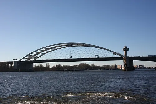 Van Brienenoordbrug Landmark, Rotterdam Municipality5.3 km E
Nearest towns and villages
-
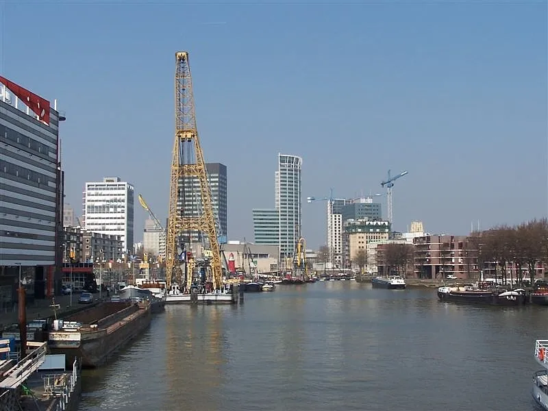 Rotterdam City, Rotterdam Municipality2.1 km NE
-
 Delfshaven Neighbourhood, Rotterdam Municipality0.9 km W
-
Katendrecht Neighbourhood, Rotterdam Municipality1.2 km SE
-
 Kop van Zuid Village, Rotterdam Municipality1.4 km E
Sources & licences
Data last updated: · 2 independent sources