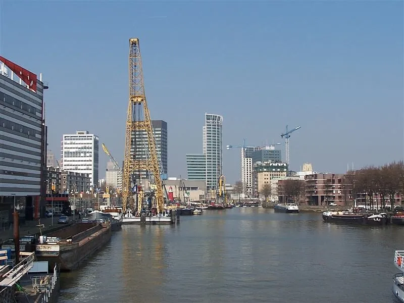
- Population
- 868,135
- 868.1K
- Elevation
- 9 m
- above sea level
- Local time
- UTC+01:00
- Europe/Amsterdam · UTC+01:00
- Airports
- RTM Rotterdam The Hague Airport5 km
- AMS Amsterdam Airport Schiphol47 km
About Rotterdam
Rotterdam is a city. Location: Rotterdam Municipality, South Holland. Population: 868,135. Elevation: 9 m.
Rotterdam ( ROT-ər-dam, UK also ROT-ər-DAM; Dutch: [ˌrɔtərˈdɑm] ) is the second-largest city in the Netherlands by population and the largest by area (319.4 km2). It is in the province of South Holland, part of the North Sea mouth of the Rhine–Meuse–Scheldt delta, via the New Meuse inland shipping channel, dug to connect to the Meuse at first and now to the Rhine. Rotterdam's history goes back to 1270, when a dam was constructed in the Rotte.
Source: Wikipedia · CC BY-SA 4.0
Photos of Rotterdam
-

Denkrahm · CC BY 2.0 -

G.H. Phot.. Photographe ND Phot.. Photographe · Public domain -

SBRotterdam · CC BY-SA 4.0 -

Van Der Meulen Christofle · CC0 -

Silver Dovelet · CC BY-SA 4.0


Travel notes for Rotterdam
From Wikivoyage
Rotterdam is a city in the province of South Holland in the west of the Netherlands. The city is the second largest in the country with a population of approximately 650,000 inhabitants in the municipality (2020) and about 2.2 million inhabitants in the shared metropolitan area of the Rotterdam-The Hague Metropolitan Region (MRDH). Rotterdam is a vibrant, multicultural city; it is known for its university (Erasmus University Rotterdam), cutting-edge architecture, lively cultural life, industrial riverside setting, its maritime heritage and colourful summer events. The municipality stretches all the way to the North Sea with gigantic areas like Europoort and Maasvlakte 1&2. All belong to the Port of Rotterdam.
Starting as a dam constructed in 1270 on the Rotte River, Rotterdam has grown into a major international commercial centre. The port of Rotterdam is Europe's busiest port by cargo tonnage, and was the world's busiest from 1962 until it was surpassed by Shanghai in 2004. Rotterdam's commercial and strategic importance is based on its location near the mouth of the Nieuwe Maas (New Meuse), a channel in the delta formed by the Rhine and Meuse on the North Sea. These rivers lead directly into the centre of Europe, including the industrial Ruhr region, which is why Rotterdam is often called the "Gateway to Europe".
Understand+
History:
Settlement at the lower end of the fen stream Rotte dates from at least 900. Around 1150, large floods in the area ended development, leading to the construction of protective dikes and dams. A dam on the Rotte or 'Rotterdam' was built in the 1260s and was at the present-day Hoogstraat ('High Street').
Although Rotterdam did well after the Middle Ages and in the 'Golden Century' - roughly between 1650 and 1750 - it was not before the second part of the nineteenth century that the city started to develop itself rapidly. Helped by the digging of a new seaway (the Nieuwe Waterweg) Rotterdam was rid of access problems caused by the silting of the river and started receiving ever bigger ships with cargo for/from the booming Ruhrgebiet in Germany. Port related trade and industry skyrocketed, and the city started to draw lots of migrants from the then poor Brabant province, for whom the southern part of the city was constructed. At the turn of the twentieth century Rotterdam was well under way to become the largest economic centre in the Netherlands. It was between then and the second world war that large prestigious construction works were undertaken, in part to show off the new found economic pride.
Get in+
By plane:
1 Rotterdam The Hague Airport (RTM IATA). It is the 3rd largest airport in the country. It is 6 km north of the city centre. There are direct flights from cities in Germany, Italy, France, Spain, and the United Kingdom. Commercial airlines that operate to the airport include Transavia, Lufthansa, British Airways, and Turkish Airlines. (updated Jun 2016)
Services:
VVV Rotterdam-The Hague Airport information point, Rotterdam Airportplein 60 (at the arrivals hall). 07:30-23:45. Come here if you have questions about Rotterdam. The place to hear history. The gift shop is open 09:30-18:00. (updated Oct 2021)
How to reach:
To plan a trip (for all public transport in the Netherlands) see 9292.nl
Depending on the amount of travel with public transit in The Netherlands it is possible to buy a so called OV-Chipkaart or it may be more convemient to pay with a contactless credit or debit card by touching in & touching out on each trip. see for more information under Get Around.
By bus/metro
Bus 33. Connects the airport with Meijersplein/Airport metro station, from where you can take metro line E to Slinge (for Rotterdam Centraal and Rotterdam city center).See for more information the By Metro section under Get Around. Bus 33 also connects to Rotterdam Centraal station via the Overschie district. (updated Jun 2024)
Bus 300. 15 July - 20 September: Fri-Mon only. Direct service to Rotterdam Centraal. No stops in between. (updated Jun 2024)
By taxi
See #Get around.
Other close airports:
Amsterdam Schiphol Airport (AMS IATA) is 58 km north of Rotterdam and has much more flights than the Rotterdam airport. NS (Dutch Railways) operates Intercity Direct high-speed rail service, every 30 minutes to Rotterdam. The journey takes 27 minutes. You have to pay an addition for the journey from Schiphol to Rotterdam, so regular intercities in direction Rotterdam Centraal and Rotterdam Blaak are cheaper (but slower) (these intercities also call at Schiphol).
Source: Wikivoyage · CC BY-SA 4.0 · abridged
Places bordering Rotterdam
- Schiedam Municipality
- Delft Municipality
- Gemeente Capelle aan den IJssel
- Ridderkerk Municipality
- Barendrecht Municipality
Twin towns and sister cities of Rotterdam
- Cologne· Germany
- Lille· France
- Burgas· Bulgaria
- Constanța· Romania
- Istanbul· Turkey
- Bratislava· Slovakia
Source: Wikidata. Only places with a page on this site are shown.
Population of Rotterdam over time
| 2000 | 592,673 | |
|---|---|---|
| 2005 | 596,407 | |
| 2010 | 603,425 | |
| 2019 | 644,618 | |
| 2020 | 651,446 | |
| 2021 | 651,631 | |
| 2022 | 655,468 | |
| 2023 | 664,311 |
Censuses and official estimates; source: Wikidata.
Climate of Rotterdam
Best months for sightseeingBest months for sightseeing: June–August.
This month · November
A cold month
Day 10° · Night 4° · Rain 96 mm
- Hottest month
- August (day 22°)
- Coldest month
- February (night 0°)
- Wettest month
- November (96 mm)
- Driest month
- April (48 mm)
Bars: average monthly low and high temperature. Below: precipitation. Monthly averages for 1970–2000 at about 18 km resolution, adjusted for elevation. Highlighted months are mild and relatively dry. Source: WorldClim 2.1 (CC BY 4.0).
Show values as a table
| Month | Jan | Feb | Mar | Apr | May | Jun | Jul | Aug | Sep | Oct | Nov | Dec |
|---|---|---|---|---|---|---|---|---|---|---|---|---|
| Average high (°C) | 6° | 6° | 9° | 12° | 17° | 19° | 21° | 22° | 19° | 14° | 10° | 7° |
| Average low (°C) | 1° | 0° | 2° | 4° | 8° | 11° | 13° | 13° | 11° | 7° | 4° | 2° |
| Precipitation (mm) | 71 | 53 | 69 | 48 | 53 | 72 | 77 | 64 | 86 | 92 | 96 | 82 |
How to get to Rotterdam
The nearest airport is Rotterdam The Hague Airport (RTM), 5 km to the northwest as the crow flies. The nearest large city is Zoetermeer, 15 km to the north.
Airports
- Rotterdam The Hague Airport (RTM) Rotterdam 5 kmnorthwest
- Amsterdam Airport Schiphol (AMS) Amsterdam 47 kmnortheast
- Eindhoven Airport (EIN) Eindhoven 81 kmsoutheast
Nearby large cities
- Zoetermeer Population: 115.8K 15 kmnorth
- Dordrecht Population: 119.3K 18 kmsoutheast
- The Hague Population: 474.3K 21 kmnorthwest
- Leiden Population: 119.7K 26 kmnorth
- Breda Population: 184.1K 43 kmsoutheast
Straight-line distances; road distances are longer. Airport data: OurAirports.
Day trips from Rotterdam
Within 100 km: 203 historic and cultural sites, 119 natural sites, 227 lakes, rivers and coasts.
0–25 km19 places
- IJsselmonde Island 7 kmSE
- Habana Beach Beach 24 kmNW
- Eiland van Brienenoord Island 5 kmSE
- Den Haag Concentration Camp Historic site 21 kmNW
25–60 km115 places
- Stappensven Lake 57 kmS
- Hassel Bos Natural site 58 kmS
- Gouverneurs Bos Natural site 59 kmSE
- Essen Duinen Natural site 50 kmS
60–100 km415 places
- Het Eiland Island 87 kmSW
- Putse Moer Lake 60 kmS
- Kleine Weel Lake 74 kmS
- Grote Weel Lake 74 kmS
Straight-line distances.
Rotterdam and similar cities
Side by side with cities of similar size in the same country: population, elevation and climate.
| Measure | Rotterdam | Amsterdam | The Hague | Utrecht |
|---|---|---|---|---|
| Population | 868.1K | 741.6K | 474.3K | 376.4K |
| Elevation | 9 m | 13 m | 4 m | 13 m |
| Summer day (hottest month) | 22° | 21° | 21° | 22° |
| Winter night (coldest month) | 0° | 0° | 0° | 0° |
| Annual rainfall | 863 mm | 848 mm | 837 mm | 797 mm |
| Best months | Jun–Aug | Jun–Aug | Jun–Aug | Jun–Aug |
| Distance | — | 58 km | 21 km | 48 km |
Climate values are 1970–2000 monthly averages; straight-line distance.
Nearby attractions & nature
Everything nearby-
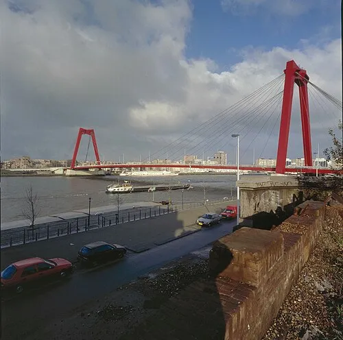 Willemsbrug Landmark, Rotterdam Municipality1.3 km SE
-
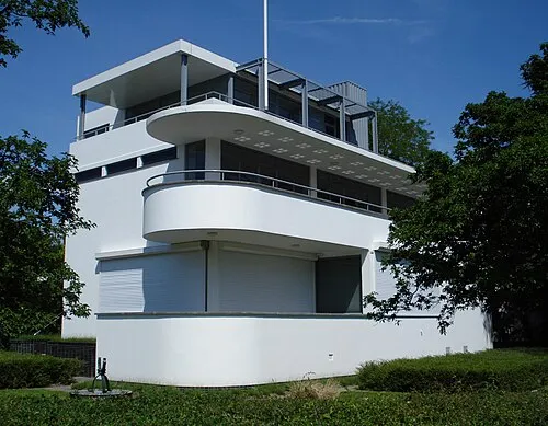 Chabot Museum Museum, Rotterdam Municipality1 km SW
-
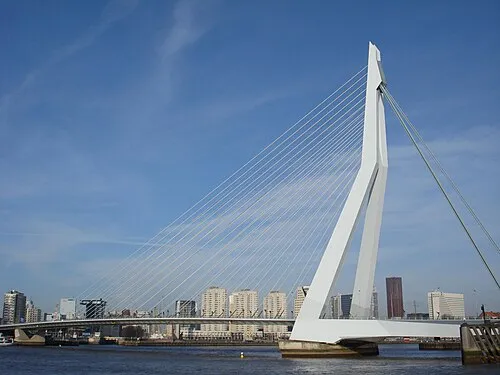 Erasmusbrug Landmark, Rotterdam Municipality1.6 km S
-
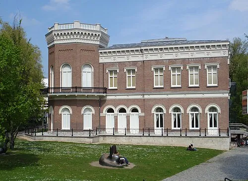 Natuurhistorisch Museum Rotterdam Museum, Rotterdam Municipality1.4 km S
-
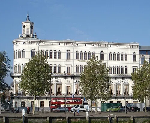 Wereldmuseum Rotterdam Museum, Rotterdam Municipality1.6 km S
-
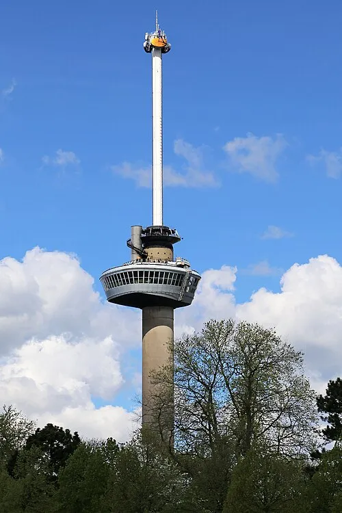 Euromast Landmark, Rotterdam Municipality2.1 km SW
-
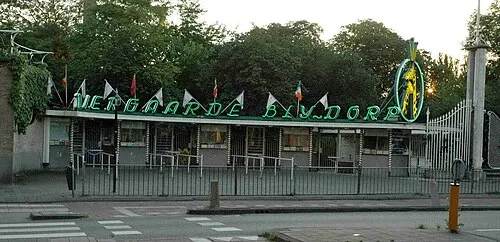 Diergaarde Blijdorp Attraction, Rotterdam Municipality1.9 km W
-
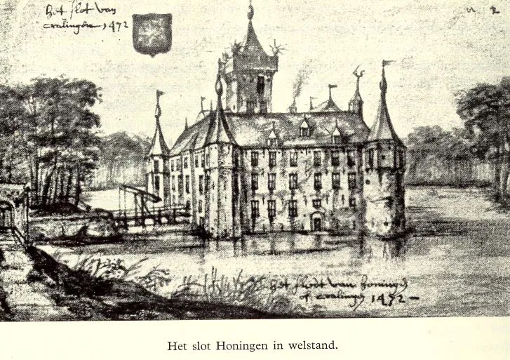 Slot Honingen Historic site, Rotterdam Municipality2.5 km E
Other cities and towns in Rotterdam Municipality
-
Hoogvliet Town, Rotterdam Municipality10 km SW
-
Rozenburg Town, Rotterdam Municipality16 km W
-
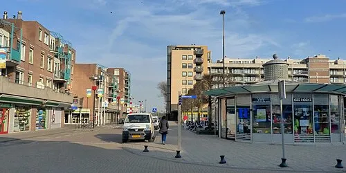 Hoek van Holland Town, Rotterdam Municipality25 km W
Sources & licences
Data last updated: · 2 independent sources