Hoek van Holland
Located in Rotterdam Municipality, South Holland Coordinates: 51°58′39″ N 4°08′00″ E
- Population
- 9,400
- 9.4K
- Elevation
- 4 m
- above sea level
- Local time
- UTC+01:00
- Europe/Amsterdam · UTC+01:00
- Airports
- RTM Rotterdam The Hague Airport21 km
- AMS Amsterdam Airport Schiphol57 km
About Hoek van Holland
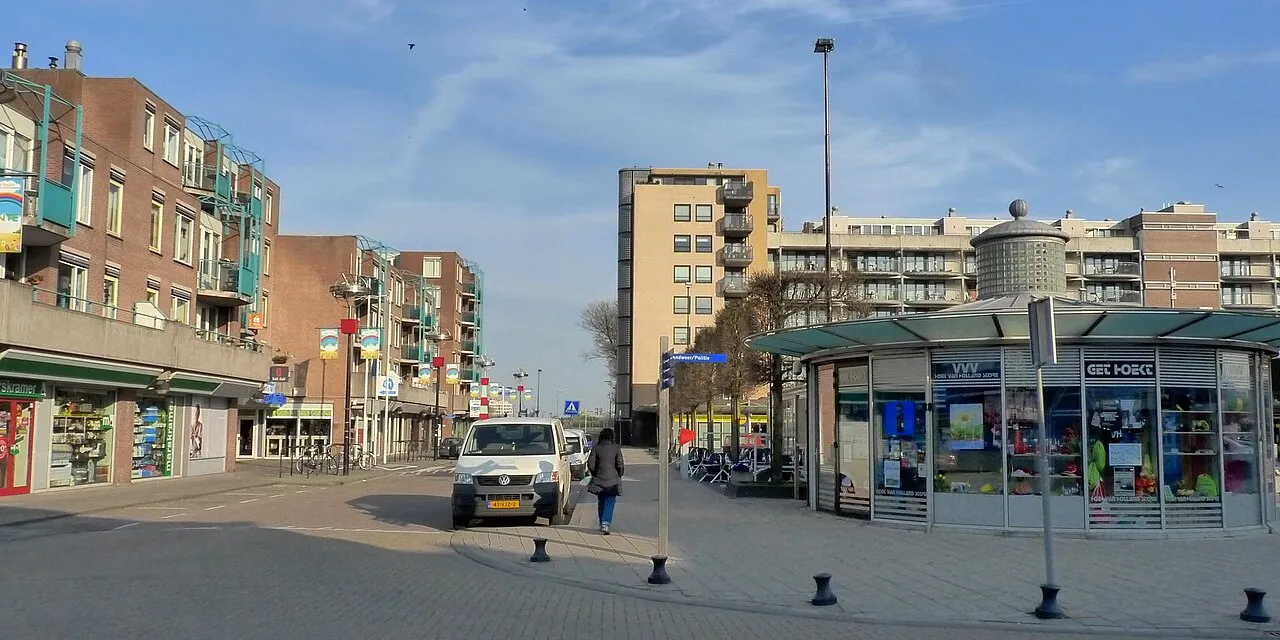
Hoek van Holland is a town. Location: Rotterdam Municipality, South Holland. Population: 9,400. Elevation: 4 m.
Hook of Holland (Dutch: Hoek van Holland, pronounced [ˈɦuk fɑn ˈɦɔlɑnt] ) is a coastal village in the southwestern corner of Holland, hence the name; hoek means "corner" and was in use before the word kaap – "cape". The English translation using Hook is a false friend of the Dutch Hoek, but has become commonplace in the Netherlands (in official government records in English, the name tends not to get translated and Hoek van Holland is used).
Source: Wikipedia · CC BY-SA 4.0
At a glance
- Area
- 14.1 km²
Source: Wikidata
Photos of Hoek van Holland
-

Nationaal Archief · CC0 -

Nationaal Archief · CC0 -

Ymblanter · CC BY-SA 4.0 -

kees torn · CC BY-SA 2.0 -

Ciell · CC BY-SA 4.0


Travel notes for Hoek van Holland
From Wikivoyage
Hook of Holland (Dutch: Hoek van Holland or De Hoek, literally "The Corner") is a small town on the Nieuwe Waterweg ship canal near the North Sea coast in Rijnmond. It is well connected to the nearby regional hub, Rotterdam. Most notable for travellers is Hook's ferry port, which has had services to the East of England since 1893.
Understand+
Hook of Holland is a part of the municipality of Rotterdam, and it has an advisory council for local affairs. The settlement came into existence when the Nieuwe Waterweg was dug to create a better waterway from the harbor of Rotterdam to the sea.
Get in+
By boat:
Ferries from England (UK):
Stena Lines runs both daily and daily overnight between Hook of Holland and Harwich in Essex (England). (8 hr; €48 one-way foot passenger not including bunk or cabin.)
P&O Ferries runs daily overnight from Hull (England) to the Maasvlakte part of the Port of Rotterdam. (10 hr; €88+ one-way foot passenger not including bunk or cabin.) Then, a local ferry operated by RET links Hook of Holland with Maasvlakte, where the ferry from Hull arrives.
By public transport:
The municipality can be reached by Rotterdam Metro line B operated by RET or by bus 31 from Den Haag Leyenburg operated by EBS.
The bus terminates at 1 Hoek van Holland Haven B , next to Stena Lines and the Rotterdam Metro station. Since April 2023, Line B of the Rotterdam Metro now terminates at 2 Hoek van Holland Strand B .
You can use an OV-chipkaart to use public transport in the Netherlands, or directly check in and out with a debit or credit card (this is called OVPay) or buy a special travel product from the operator.
For RET, check in and out with a debit or credit card, or buy a ticket at the machine on the Rotterdam Metro. They offer English-language menus and accept debit and credit cards. Cash is being phased out and many ticket machines do not accept cash. Alternatively, use the RET Barcode app to purchase tickets.
By foot:
The Hook of Holland is a hub in the network of European long distance footpaths. It is served by E2 (GR 5), E8 and E9.
By bicycle:
It can be reached by bicycle in about 1 hour from The Hague or Delft, and 1½ hours from Rotterdam. The route is flat, but strong wind near the coast can make the ride more difficult. You might pass some of the largest greenhouses in the world; the greenhouses in this area of the Netherlands produce enormous amounts of fruit, vegetables and flowers for domestic use and export.
There are different networks especially for touristic/recreational cyclists, see for more information the page of the whole region.
Source: Wikivoyage · CC BY-SA 4.0 · abridged
Climate of Hoek van Holland
Best months for sightseeingBest months for sightseeing: June–August.
This month · November
A cold month
Day 10° · Night 5° · Rain 94 mm
- Hottest month
- August (day 21°)
- Coldest month
- February (night 1°)
- Wettest month
- November (94 mm)
- Driest month
- April (43 mm)
Bars: average monthly low and high temperature. Below: precipitation. Monthly averages for 1970–2000 at about 18 km resolution, adjusted for elevation. Highlighted months are mild and relatively dry. Source: WorldClim 2.1 (CC BY 4.0).
Show values as a table
| Month | Jan | Feb | Mar | Apr | May | Jun | Jul | Aug | Sep | Oct | Nov | Dec |
|---|---|---|---|---|---|---|---|---|---|---|---|---|
| Average high (°C) | 6° | 6° | 9° | 12° | 16° | 18° | 20° | 21° | 18° | 14° | 10° | 7° |
| Average low (°C) | 1° | 1° | 3° | 5° | 9° | 11° | 14° | 14° | 12° | 8° | 5° | 2° |
| Precipitation (mm) | 66 | 49 | 61 | 43 | 49 | 67 | 69 | 58 | 87 | 90 | 94 | 77 |
How to get to Hoek van Holland
The nearest airport is Rotterdam The Hague Airport (RTM), 21 km to the east as the crow flies. The nearest large city is The Hague, 16 km to the northeast.
Airports
- Rotterdam The Hague Airport (RTM) Rotterdam 21 kmeast
- Amsterdam Airport Schiphol (AMS) Amsterdam 57 kmnortheast
- Antwerp International Airport (Deurne) (ANR) Antwerp 90 kmsouth
Nearby large cities
- The Hague Population: 474.3K 16 kmnortheast
- Rotterdam Population: 868.1K 25 kmeast
- Zoetermeer Population: 115.8K 26 kmeast
- Leiden Population: 119.7K 32 kmnortheast
- Dordrecht Population: 119.3K 42 kmsoutheast
Straight-line distances; road distances are longer. Airport data: OurAirports.
Day trips from Hoek van Holland
Within 100 km: 177 historic and cultural sites, 60 natural sites, 166 lakes, rivers and coasts.
0–25 km14 places
- Habana Beach Beach 12 kmNE
- Ouddorp Beach Beach 24 kmSW
- Badstrand Rockanje Beach 13 kmSW
- Hoek van Holland Natural site 2 kmW
25–60 km30 places
- IJsselmonde Island 29 kmSE
- Zoom River 54 kmS
- Aloha Beach Beach 57 kmSW
- Aardbeieneiland Island 59 kmSW
60–100 km359 places
- Knokke-Strand Beach 91 kmSW
- Het Eiland Island 86 kmS
- Putse Moer Lake 69 kmS
- Stappensven Lake 67 kmS
Straight-line distances.
Nearby attractions & nature
Everything nearby-
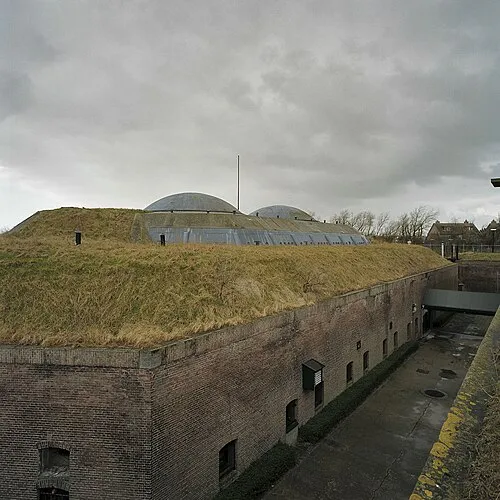 Hoek van Holland Fort Historic site, Rotterdam Municipality1 km W
-
Hoek van Holland Natural site, Rotterdam Municipality2.3 km W
-
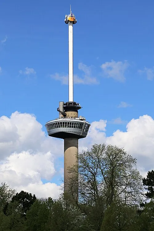 Euromast Landmark, Rotterdam Municipality24 km E
-
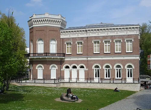 Natuurhistorisch Museum Rotterdam Museum, Rotterdam Municipality24 km E
-
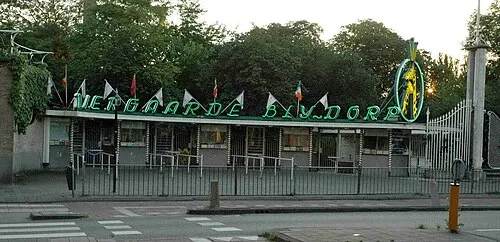 Diergaarde Blijdorp Attraction, Rotterdam Municipality23 km E
-
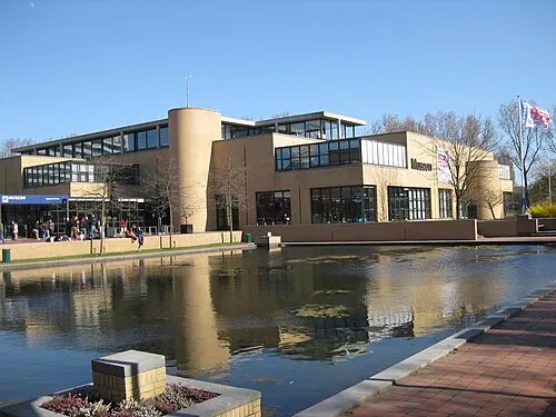 Museon Museum, Gemeente Den Haag16 km NE
-
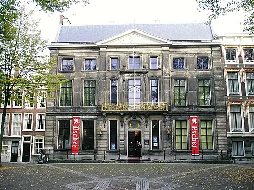 Escher Museum Museum, Gemeente Den Haag17 km NE
-
 GEM Museum, Gemeente Den Haag16 km NE
Other cities and towns in Rotterdam Municipality
Sources & licences
Data last updated: · 2 independent sources