Gemeente Vlaardingen
Located in South Holland, The Netherlands Coordinates: 51°55′03″ N 4°19′33″ E
- Population
- 73,924
- 73.9K
- Elevation
- -1 m
- above sea level
- Local time
- UTC+01:00
- Europe/Amsterdam · UTC+01:00
- Places inside
- 1
- listed under Gemeente Vlaardingen
- Airports
- RTM Rotterdam The Hague Airport9 km
- AMS Amsterdam Airport Schiphol53 km
About Gemeente Vlaardingen
Gemeente Vlaardingen is a district. Location: South Holland, The Netherlands. Population: 73,924.
Vlaardingen (Dutch pronunciation: [ˈvlaːrdɪŋə(n)] ) is a large town and municipality in South Holland in the Netherlands. It is located on the north bank of the Nieuwe Maas river at the confluence with the Oude Maas. The municipality administers an area of 26.69 km2 (10.31 sq mi), of which 23.57 km2 (9.10 sq mi) is land, with 73,924 residents in 2021.
Read more on Wikipedia Text: Wikipedia contributors · CC BY-SA 4.0 · shortened
At a glance
- Area
- 26.7 km²
Source: Wikidata
In comparison
- 3 sights and natural places within 10 km Stedelijk Museum Schiedam, Diergaarde Blijdorp
Climate of Gemeente Vlaardingen
Best months for sightseeingBest months for sightseeing: June–August.
Bars: average monthly low and high temperature. Below: precipitation. Monthly averages for 1970–2000 at about 18 km resolution, adjusted for elevation. Highlighted months are mild and relatively dry. Source: WorldClim 2.1 (CC BY 4.0).
Show values as a table
| Month | Jan | Feb | Mar | Apr | May | Jun | Jul | Aug | Sep | Oct | Nov | Dec |
|---|---|---|---|---|---|---|---|---|---|---|---|---|
| Average high (°C) | 6° | 6° | 9° | 12° | 17° | 19° | 21° | 21° | 18° | 14° | 10° | 7° |
| Average low (°C) | 1° | 1° | 3° | 4° | 8° | 11° | 13° | 13° | 11° | 8° | 4° | 2° |
| Precipitation (mm) | 68 | 50 | 65 | 45 | 50 | 70 | 71 | 62 | 86 | 91 | 95 | 79 |
Airports nearest to Gemeente Vlaardingen
- Rotterdam The Hague Airport (RTM) Rotterdam 9 km
- Amsterdam Airport Schiphol (AMS) Amsterdam 53 km
- Antwerp International Airport (Deurne) (ANR) Antwerp 81 km
Straight-line distance; airports with scheduled flights only. Source: OurAirports (public domain).
Places in Gemeente Vlaardingen
1 place-
Vlaardingen Town73.8K
Nearby attractions & nature
Everything nearby-
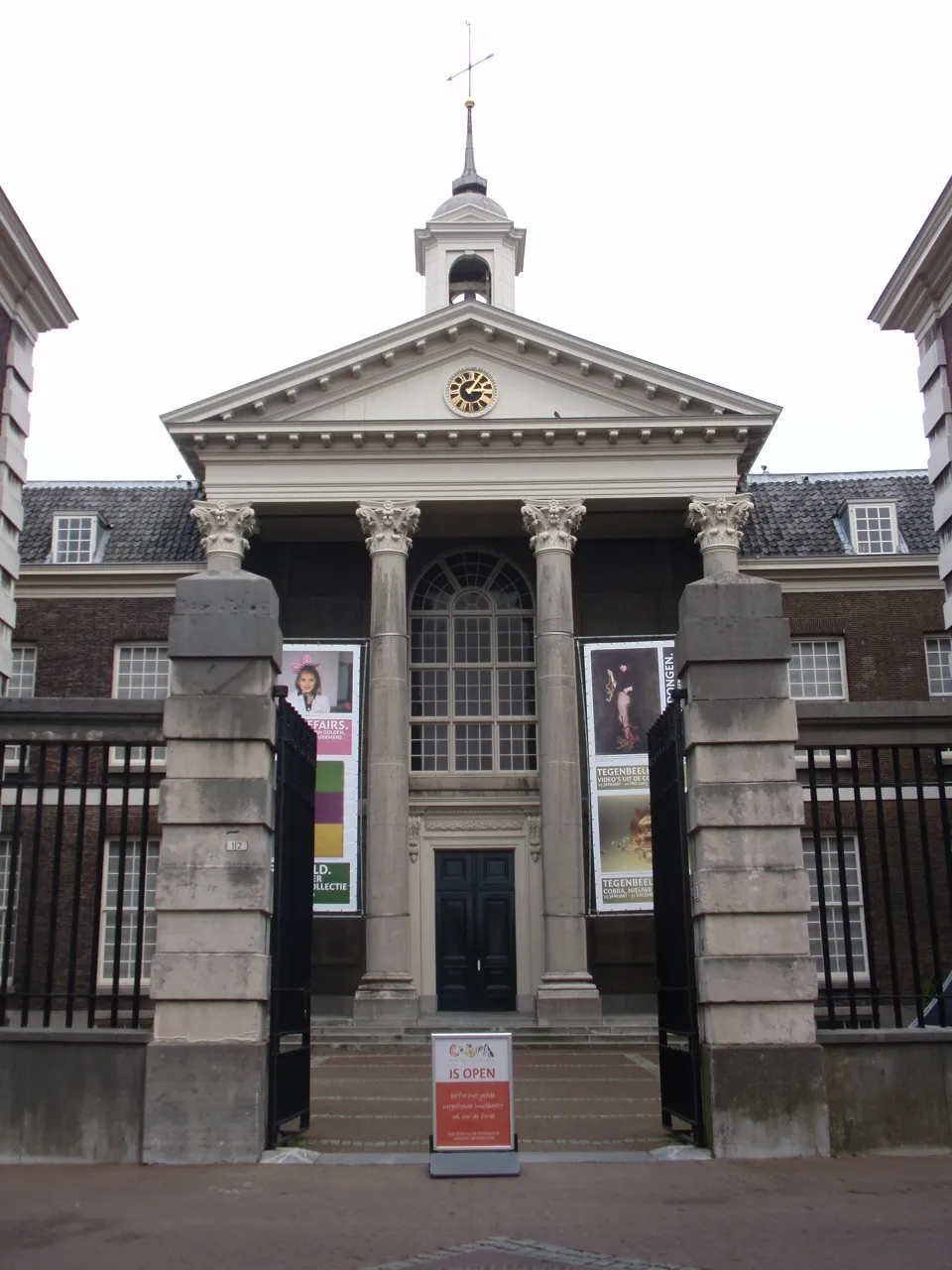 Stedelijk Museum Schiedam Museum, Schiedam Municipality5 km E
-
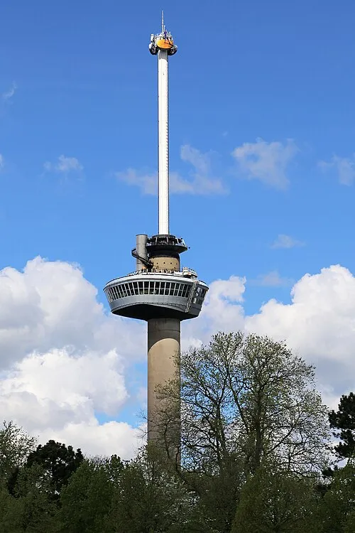 Euromast Landmark, Rotterdam Municipality9.8 km E
-
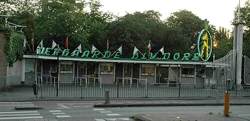 Diergaarde Blijdorp Attraction, Rotterdam Municipality8.8 km E
-
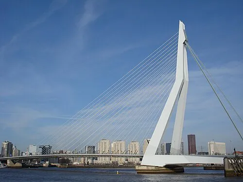 Erasmusbrug Landmark, Rotterdam Municipality11 km E
-
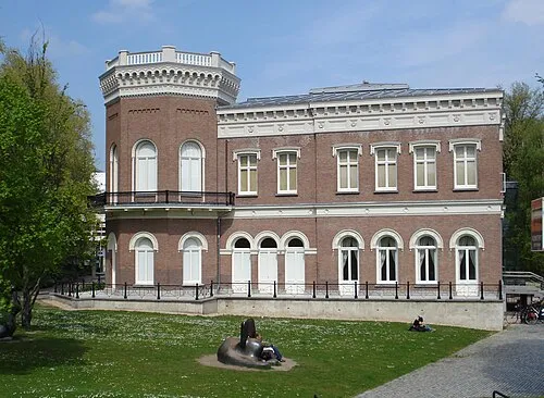 Natuurhistorisch Museum Rotterdam Museum, Rotterdam Municipality10 km E
-
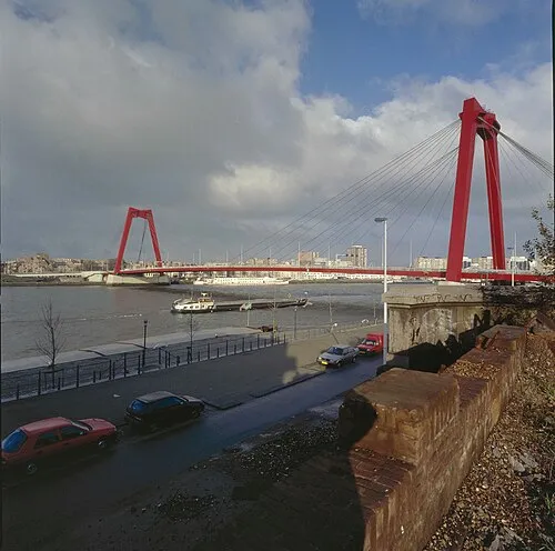 Willemsbrug Landmark, Rotterdam Municipality12 km E
Sources & licences
Data last updated: · 2 independent sources