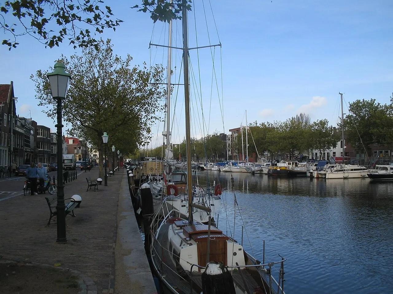
- Population
- 73,798
- 73.8K
- Elevation
- 2 m
- above sea level
- Local time
- UTC+01:00
- Europe/Amsterdam · UTC+01:00
- Airports
- RTM Rotterdam The Hague Airport8 km
- AMS Amsterdam Airport Schiphol53 km
About Vlaardingen
Vlaardingen is a town. Location: Gemeente Vlaardingen, South Holland. Population: 73,798. Elevation: 2 m. The best months to visit are June–August. The nearest airport is Rotterdam The Hague Airport (8 km). Nearby sights include Stedelijk Museum Schiedam and Diergaarde Blijdorp.
Photos of Vlaardingen
-

Ahospers · CC BY-SA 4.0 -

Vera de Kok · CC BY-SA 4.0 -
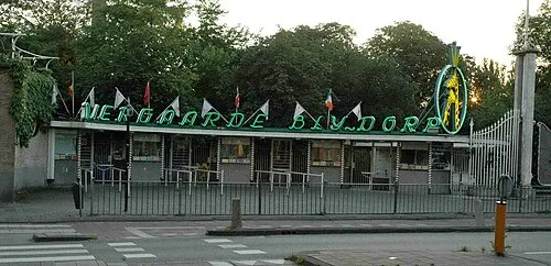
Diergaarde Blijdorp The original uploader was Sherpa at Dutch Wikipedia · CC BY-SA 3.0 -
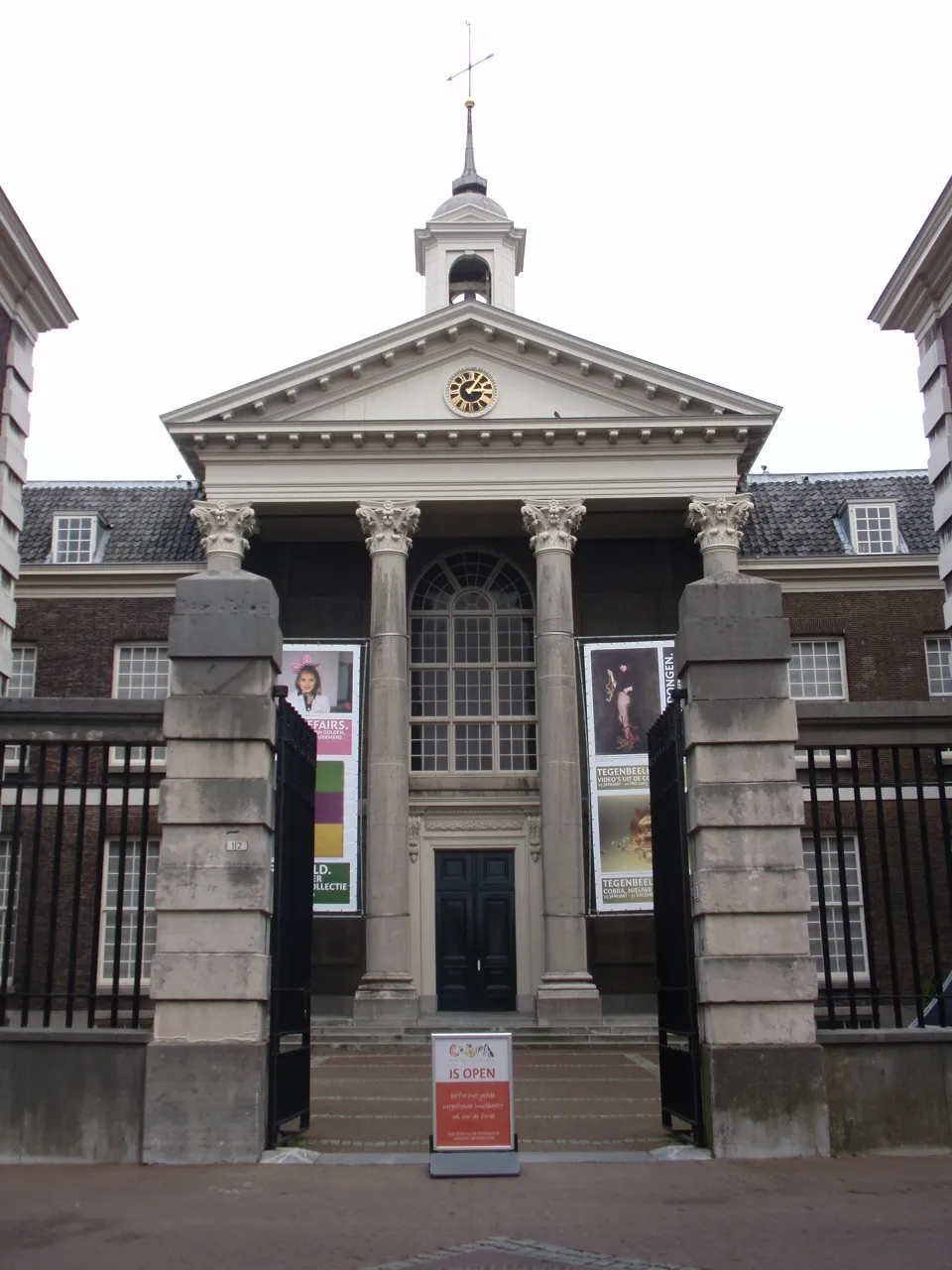
Stedelijk Museum Schiedam Advance · CC BY-SA 4.0


Travel notes for Vlaardingen
From Wikivoyage
Vlaardingen is a town in Rijnmond, the metropolitan area of Rotterdam, in the Netherlands.
Understand+
Vlaardingen is a city located on the banks of the Nieuwe Maas (New Meuse), which makes the city a part of the Rotterdam-The Hague Metropolitan Region. The municipality houses some 72,000 citizens. Vlaardingen is dissected by the Vlaardingervaart river. The city is best known as the herring city of the Netherlands. Fishing for herring, anchovies and Atlantic cod however, has long gone. The history as a fisherman's town, however, can still be seen around the Oude Haven and Koningin Wilhelminahaven.
Vlaardingen is first mentioned in the eighth century. Around the year 700, a small church would have been founded by a monk known as Heribald, who donated the church to Saint Willibrord. The city is thought to have obtained its city rights before 1273, as a document from that year allows Vlaardingen rights that seem to be additional rights to pre-existing rights. Herring has been a main focus for Vlaardingen since the eighteenth century. The fishing and trade of herring are what made the city grow.
The opening of the Nieuwe Waterweg in 1872 and a railroad connection in 1881 are of great significance to Vlaardingen, allowing it to develop industry that could benefit from the activity in the harbour. In 1941 Vlaardingen annexed the neighbouring municipality of Vlaardinger-Ambacht, which gave the city space for further expansion projects such as Westwijk and Vlaardingen-Holy.
1 VVV-Agentschap Vlaardingen (Tourist office), Westhavenkade 56, ☏ +31 104 346 666, info@vvv-vlaardingen.nl. 10:00-17:00. (updated Nov 2017)
Get in+
By car:
Vlaardingen is near the intersection of the A20/E25 highway and the A4 highway. From Rotterdam, follow the A20 heading west, using exit 8 (Vlaardingen-West). From Amsterdam and The Hague, use the A4 heading south, using exit 16 (Vlaardingen-Oost) followed by a turn right towards the Burger King.
By public transit:
Vlaardingen can be best reached by the Rotterdam metro operated by RET. It has three metro stops: 1 Vlaardingen West A B , 2 Vlaardingen Centrum A B and 3 Vlaardingen Oost A B .
From Rotterdam take Line A to Vlaardingen West or line B to Hoek van Holland Strand.
Note that line A only goes to Vlaardingen during peak hours, outside peak hours it terminates at Schiedam Centrum.
These lines also offer a connection from the railway stations of Rotterdam Alexander, Rotterdam Blaak and Schiedam Centrum. Services on line A and B are frequent, with 4 metros per hour between 05:30 and 07:00, and between 19:00 and 00:30, and 6 metros per hour between 07:00 and 19:00 on both lines. There are four trains per hour during the Dutch holidays.
The north of Vlaardingen, which consists of mostly private housing, is accessible via RET tram line 24, which also connects to Schiedam Centrum. The main tram stop is 4 De Loper.
By boat:
Vlaardingen is located along the Vlaardingervaart, which connects directly to the Nieuwe Maas (New Meuse). Here, you will find three marinas:
2 W.S.V. De Kleiput, Hoflaan 20. (updated Nov 2017)
3 Broekpolder, Watersportweg 30-32, ☏ +31 6 130 809 71, retseemnevah@wsvcallenburgh.nl. (updated Nov 2017)
4 De Bommeer, Broekkade 5. (updated Nov 2017)
Source: Wikivoyage · CC BY-SA 4.0 · abridged
Climate of Vlaardingen
Best months for sightseeingBest months for sightseeing: June–August.
This month · November
A cold month
Day 10° · Night 4° · Rain 96 mm
- Hottest month
- August (day 22°)
- Coldest month
- February (night 1°)
- Wettest month
- November (96 mm)
- Driest month
- April (48 mm)
Bars: average monthly low and high temperature. Below: precipitation. Monthly averages for 1970–2000 at about 18 km resolution, adjusted for elevation. Highlighted months are mild and relatively dry. Source: WorldClim 2.1 (CC BY 4.0).
Show values as a table
| Month | Jan | Feb | Mar | Apr | May | Jun | Jul | Aug | Sep | Oct | Nov | Dec |
|---|---|---|---|---|---|---|---|---|---|---|---|---|
| Average high (°C) | 6° | 6° | 9° | 12° | 17° | 20° | 22° | 22° | 19° | 14° | 10° | 7° |
| Average low (°C) | 1° | 1° | 3° | 4° | 8° | 11° | 13° | 13° | 11° | 7° | 4° | 2° |
| Precipitation (mm) | 71 | 53 | 69 | 48 | 53 | 72 | 77 | 64 | 86 | 92 | 96 | 82 |
How to get to Vlaardingen
The nearest airport is Rotterdam The Hague Airport (RTM), 8 km to the northeast as the crow flies. The nearest large city is Rotterdam, 10 km to the east.
Airports
- Rotterdam The Hague Airport (RTM) Rotterdam 8 kmnortheast
- Amsterdam Airport Schiphol (AMS) Amsterdam 53 kmnortheast
- Antwerp International Airport (Deurne) (ANR) Antwerp 81 kmsouth
Nearby large cities
- Rotterdam Population: 868.1K 10 kmeast
- The Hague Population: 474.3K 19 kmnorth
- Zoetermeer Population: 115.8K 19 kmnortheast
- Dordrecht Population: 119.3K 26 kmsoutheast
- Leiden Population: 119.7K 29 kmnorth
Straight-line distances; road distances are longer. Airport data: OurAirports.
Day trips from Vlaardingen
Within 100 km: 198 historic and cultural sites, 93 natural sites, 227 lakes, rivers and coasts.
0–25 km21 places
- IJsselmonde Island 13 kmSE
- Habana Beach Beach 19 kmNW
- Badstrand Rockanje Beach 21 kmW
- Eiland van Brienenoord Island 14 kmE
25–60 km55 places
- Putse Moer Lake 59 kmS
- Stappensven Lake 56 kmS
- Essen Duinen Natural site 51 kmS
- De Zoom - Kalmthoutse Heide Natural site 58 kmS
60–100 km442 places
- Knokke-Strand Beach 96 kmSW
- Het Eiland Island 82 kmS
- Kleine Weel Lake 71 kmS
- Grote Weel Lake 71 kmS
Straight-line distances.
Vlaardingen and similar cities
Side by side with cities of similar size in the same country: population, elevation and climate.
| Measure | Vlaardingen | Assen | Lelystad | Hengelo |
|---|---|---|---|---|
| Population | 73.8K | 68.8K | 79.8K | 82.3K |
| Elevation | 2 m | 12 m | -1 m | 18 m |
| Summer day (hottest month) | 22° | 22° | 22° | 23° |
| Winter night (coldest month) | 1° | -1° | 1° | -1° |
| Annual rainfall | 863 mm | 829 mm | 803 mm | 777 mm |
| Best months | Jun–Aug | Jun–Aug | Jun–Aug | Jun–Aug |
| Distance | — | 193 km | 102 km | 173 km |
Climate values are 1970–2000 monthly averages; straight-line distance.
Nearby attractions & nature
Everything nearby-
Stedelijk Museum Schiedam Museum, Schiedam Municipality3.9 km E
-
Diergaarde Blijdorp Attraction, Rotterdam Municipality7.8 km E
-
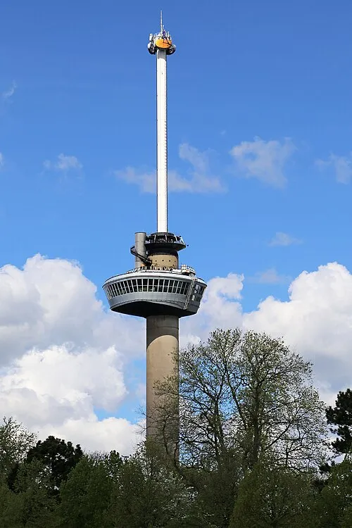 Euromast Landmark, Rotterdam Municipality8.6 km E
-
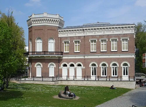 Natuurhistorisch Museum Rotterdam Museum, Rotterdam Municipality9 km E
-
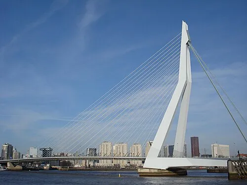 Erasmusbrug Landmark, Rotterdam Municipality10 km E
-
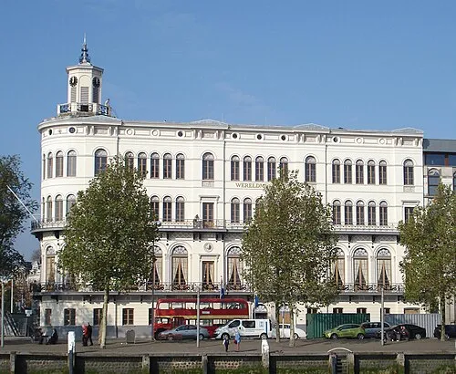 Wereldmuseum Rotterdam Museum, Rotterdam Municipality9.6 km E
-
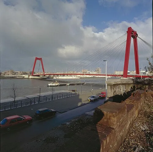 Willemsbrug Landmark, Rotterdam Municipality11 km E
-
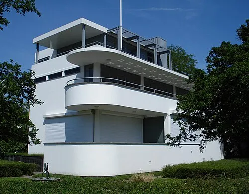 Chabot Museum Museum, Rotterdam Municipality9 km E
Sources & licences
Data last updated: