Maassluis Municipality
Local name: Maassluis
Located in South Holland, The Netherlands Coordinates: 51°55′24″ N 4°14′50″ E
- Population
- 33,567
- 33.6K
- Elevation
- 2 m
- above sea level
- Local time
- UTC+01:00
- Europe/Amsterdam · UTC+01:00
- Places inside
- 1
- listed under Maassluis Municipality
- Airports
- RTM Rotterdam The Hague Airport14 km
- AMS Amsterdam Airport Schiphol56 km
About Maassluis Municipality
Maassluis Municipality is a district. Location: South Holland, The Netherlands. Population: 33,567.
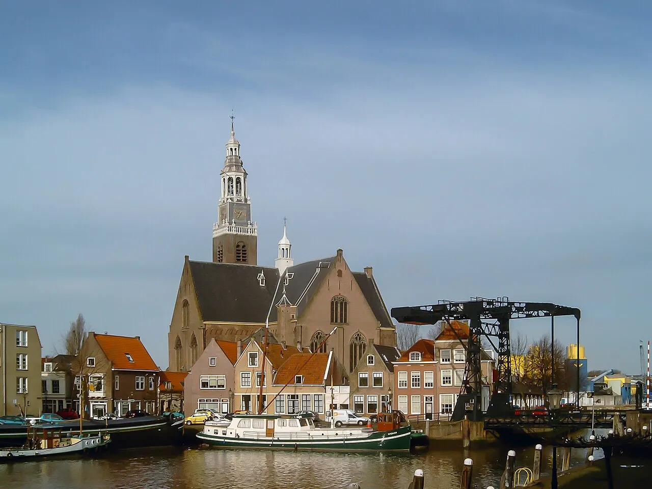
Maassluis (Dutch pronunciation: [maˑˈslʌy̆s] ) is a town in the western Netherlands, in the province of South Holland. The municipality had a population of 33,567 in 2021 and covered 10.12 km2 (3.91 sq mi) of which 1.64 km2 (0.63 sq mi) was water. It received town rights in 1811.
Source: Wikipedia · CC BY-SA 4.0
Places bordering Maassluis Municipality
- Gemeente Vlaardingen
Population of Maassluis Municipality over time
| 1960 | 13,444 | |
|---|---|---|
| 1971 | 27,616 | |
| 1980 | 33,186 | |
| 1990 | 33,272 | |
| 2000 | 32,981 | |
| 2010 | 31,910 | |
| 2016 | 32,287 | |
| 2017 | 32,450 | |
| 2018 | 32,518 | |
| 2019 | 32,768 | |
| 2020 | 33,213 | |
| 2021 | 33,567 |
Censuses and official estimates; source: Wikidata.
Climate of Maassluis Municipality
Best months for sightseeingBest months for sightseeing: June–August.
This month · November
A cold month
Day 10° · Night 4° · Rain 95 mm
- Hottest month
- August (day 21°)
- Coldest month
- February (night 1°)
- Wettest month
- November (95 mm)
- Driest month
- April (45 mm)
Bars: average monthly low and high temperature. Below: precipitation. Monthly averages for 1970–2000 at about 18 km resolution, adjusted for elevation. Highlighted months are mild and relatively dry. Source: WorldClim 2.1 (CC BY 4.0).
Show values as a table
| Month | Jan | Feb | Mar | Apr | May | Jun | Jul | Aug | Sep | Oct | Nov | Dec |
|---|---|---|---|---|---|---|---|---|---|---|---|---|
| Average high (°C) | 6° | 6° | 9° | 12° | 17° | 19° | 21° | 21° | 18° | 14° | 10° | 7° |
| Average low (°C) | 1° | 1° | 3° | 4° | 8° | 11° | 13° | 13° | 11° | 8° | 4° | 2° |
| Precipitation (mm) | 68 | 50 | 65 | 45 | 50 | 70 | 71 | 62 | 86 | 91 | 95 | 79 |
How to get to Maassluis Municipality
The nearest airport is Rotterdam The Hague Airport (RTM), 14 km to the east as the crow flies. The nearest large city is Rotterdam, 16 km to the east.
Airports
- Rotterdam The Hague Airport (RTM) Rotterdam 14 kmeast
- Amsterdam Airport Schiphol (AMS) Amsterdam 56 kmnortheast
- Antwerp International Airport (Deurne) (ANR) Antwerp 83 kmsouth
Nearby large cities
- Rotterdam Population: 868.1K 16 kmeast
- The Hague Population: 474.3K 17 kmnorth
- Zoetermeer Population: 115.8K 23 kmnortheast
- Leiden Population: 119.7K 31 kmnortheast
- Dordrecht Population: 119.3K 32 kmsoutheast
Straight-line distances; road distances are longer. Airport data: OurAirports.
Places in Maassluis Municipality
1 place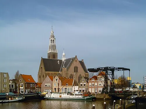
Maassluis
Population: 32.8K
Nearby attractions & nature
Everything nearby-
 Stedelijk Museum Schiedam Museum, Schiedam Municipality10 km E
-
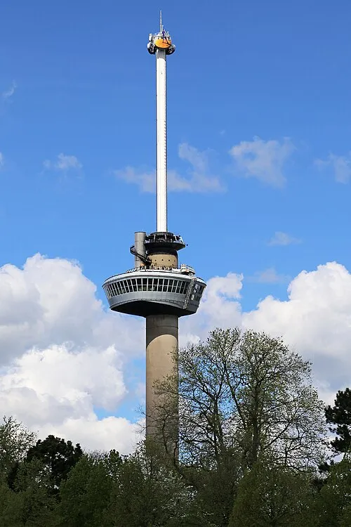 Euromast Landmark, Rotterdam Municipality15 km E
-
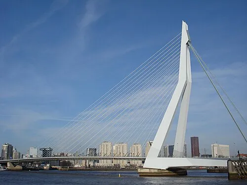 Erasmusbrug Landmark, Rotterdam Municipality17 km E
-
IJsselmonde Island, South Holland20 km E
-
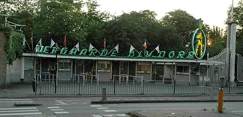 Diergaarde Blijdorp Attraction, Rotterdam Municipality14 km E
-
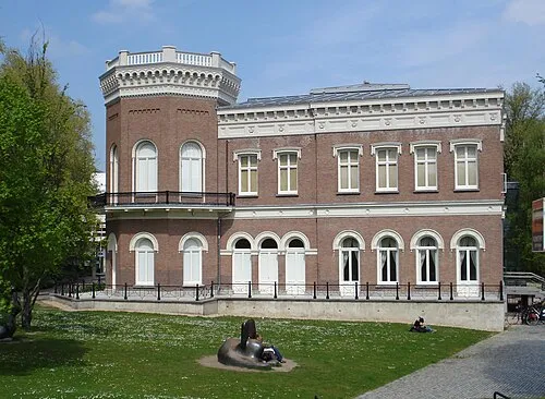 Natuurhistorisch Museum Rotterdam Museum, Rotterdam Municipality16 km E
Sources & licences
Data last updated: · 2 independent sources