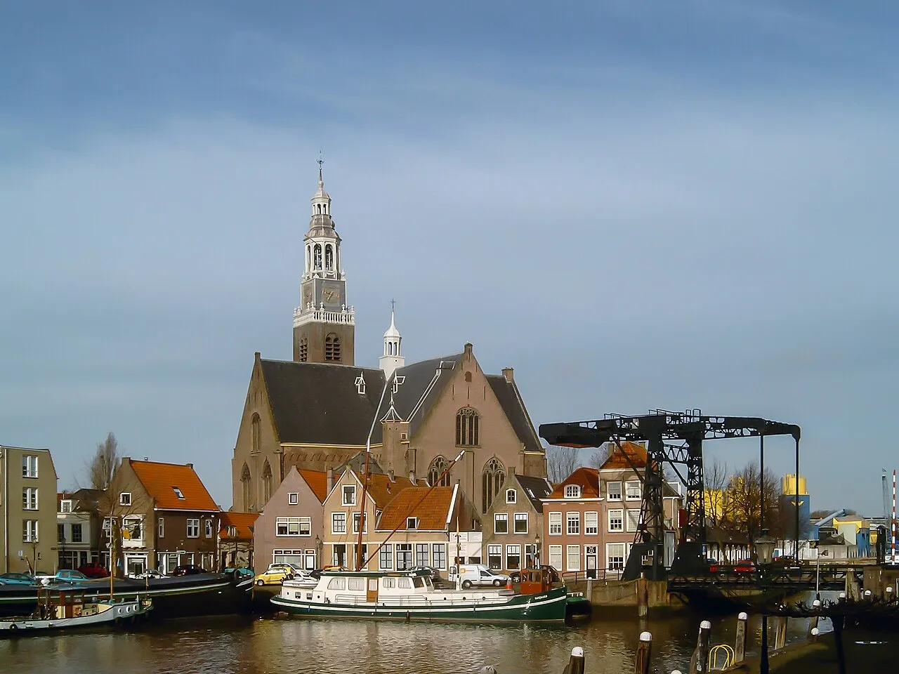
- Population
- 32,780
- 32.8K
- Elevation
- 2 m
- above sea level
- Local time
- UTC+01:00
- Europe/Amsterdam · UTC+01:00
- Airports
- RTM Rotterdam The Hague Airport13 km
- AMS Amsterdam Airport Schiphol55 km
About Maassluis
Maassluis is a town. Location: Maassluis Municipality, South Holland. Population: 32,780. Elevation: 2 m. The best months to visit are June–August. The nearest airport is Rotterdam The Hague Airport (13 km). Nearby sights include Stedelijk Museum Schiedam and Euromast.
Photos of Maassluis
-

M. Moers · CC0 -

Rijksmuseum · CC0 -

kees torn · CC BY-SA 2.0 -

Jan dijkstra · CC BY-SA 4.0 -

Michielverbeek · CC BY-SA 4.0


Travel notes for Maassluis
From Wikivoyage
Maassluis is a quaint town in South Holland, Netherlands the city centre of which has barely changed in a century's time.
Understand+
Maassluis was founded around 1340 as a settlement by a lock in the river Meuse, hence its name consists of Maas (Meuse) and sluis (lock). The settlement was first known as Maeslandsluys, as the settlement was part of Maesland. During the Eighty Years' War, work was started on defence works for the town, but the city was captured by the Spanish before the works could be completed.
Maeslandsluys was separated from Maesland in 1614, after which it switched its name to Maassluis, which is how we know the city today. Maassluis requested city rights in December 1813 and gained said rights two months later. During the nineteenth century, Maassluis became known for its shipping company L. Smit & Co. and maritime salvaging company W.A. van den Tak, which after fusing together became known as Smit-Tak. This maritime history is still visible in modern-day Maassluis.
Get in+
By car:
From Amsterdam and The Hague, follow the A4 heading for Schiedam and Rotterdam. Follow this highway until you're at Knooppunt Kethelplein (Kethelplein Interchange), where you head for Vlaardingen and Hook of Holland. This will get you onto the A20 heading for Maassluis, which is reached by using exit 7 on the A20, followed by a turn to the left.
From Bergen op Zoom, follow the A4 heading north. The A4 will have different names throughout this route (A59 and A29), but all you need to do is head straight heading for Rotterdam. Once you find yourself on the end of the A29, shortly after exit 20, head west onto the A15, shortly after which you turn north onto the A4 again. This will get you to Knooppunt Kethelplein (Kethelplein Interchange), where you head for Hook of Holland (Hoek van Holland). Again, Maassluis is found by using exit 7 followed by a turn to the left. If you were to come from the east of the country, then follow the A15, which starts in between Arnhem and Nijmegen.
By public transit:
To get to Maassluis via public transit, you can use trains to get to Schiedam Centrum NS . From here, either take bus 126 to Maassluis, 712 to Maassluis West or 713 to Hook of Holland or, should you travel to Maassluis in the second half of 2018 or later, use the Rotterdam Metro's line B to get to Maassluis, which has three stations to its name: 1 Maassluis B , 2 Maassluis West B and 3 Maassluis Steendijkpolder B . Of these, the first mentioned will most likely be most useful to you, as it is the closest to the city centre.
Source: Wikivoyage · CC BY-SA 4.0 · abridged
Climate of Maassluis
Best months for sightseeingBest months for sightseeing: June–August.
This month · November
A cold month
Day 10° · Night 4° · Rain 95 mm
- Hottest month
- August (day 21°)
- Coldest month
- February (night 1°)
- Wettest month
- November (95 mm)
- Driest month
- April (45 mm)
Bars: average monthly low and high temperature. Below: precipitation. Monthly averages for 1970–2000 at about 18 km resolution, adjusted for elevation. Highlighted months are mild and relatively dry. Source: WorldClim 2.1 (CC BY 4.0).
Show values as a table
| Month | Jan | Feb | Mar | Apr | May | Jun | Jul | Aug | Sep | Oct | Nov | Dec |
|---|---|---|---|---|---|---|---|---|---|---|---|---|
| Average high (°C) | 6° | 6° | 9° | 12° | 17° | 19° | 21° | 21° | 18° | 14° | 10° | 7° |
| Average low (°C) | 1° | 1° | 3° | 4° | 8° | 11° | 13° | 13° | 11° | 8° | 4° | 2° |
| Precipitation (mm) | 68 | 50 | 65 | 45 | 50 | 70 | 71 | 62 | 86 | 91 | 95 | 79 |
How to get to Maassluis
The nearest airport is Rotterdam The Hague Airport (RTM), 13 km to the east as the crow flies. The nearest large city is Rotterdam, 16 km to the east.
Airports
- Rotterdam The Hague Airport (RTM) Rotterdam 13 kmeast
- Amsterdam Airport Schiphol (AMS) Amsterdam 55 kmnortheast
- Antwerp International Airport (Deurne) (ANR) Antwerp 83 kmsouth
Nearby large cities
- Rotterdam Population: 868.1K 16 kmeast
- The Hague Population: 474.3K 17 kmnorth
- Zoetermeer Population: 115.8K 22 kmnortheast
- Leiden Population: 119.7K 31 kmnortheast
- Dordrecht Population: 119.3K 32 kmsoutheast
Straight-line distances; road distances are longer. Airport data: OurAirports.
Day trips from Maassluis
Within 100 km: 193 historic and cultural sites, 84 natural sites, 219 lakes, rivers and coasts.
0–25 km20 places
- IJsselmonde Island 19 kmE
- Habana Beach Beach 16 kmN
- Badstrand Rockanje Beach 15 kmSW
- Eiland van Brienenoord Island 20 kmE
25–60 km37 places
- Stappensven Lake 59 kmS
- Essen Duinen Natural site 54 kmS
- Zoom River 47 kmS
- Leijloop River 60 kmSE
60–100 km439 places
- Knokke-Strand Beach 92 kmSW
- Het Eiland Island 81 kmS
- Putse Moer Lake 61 kmS
- Kleine Weel Lake 71 kmS
Straight-line distances.
Nearby attractions & nature
Everything nearby-
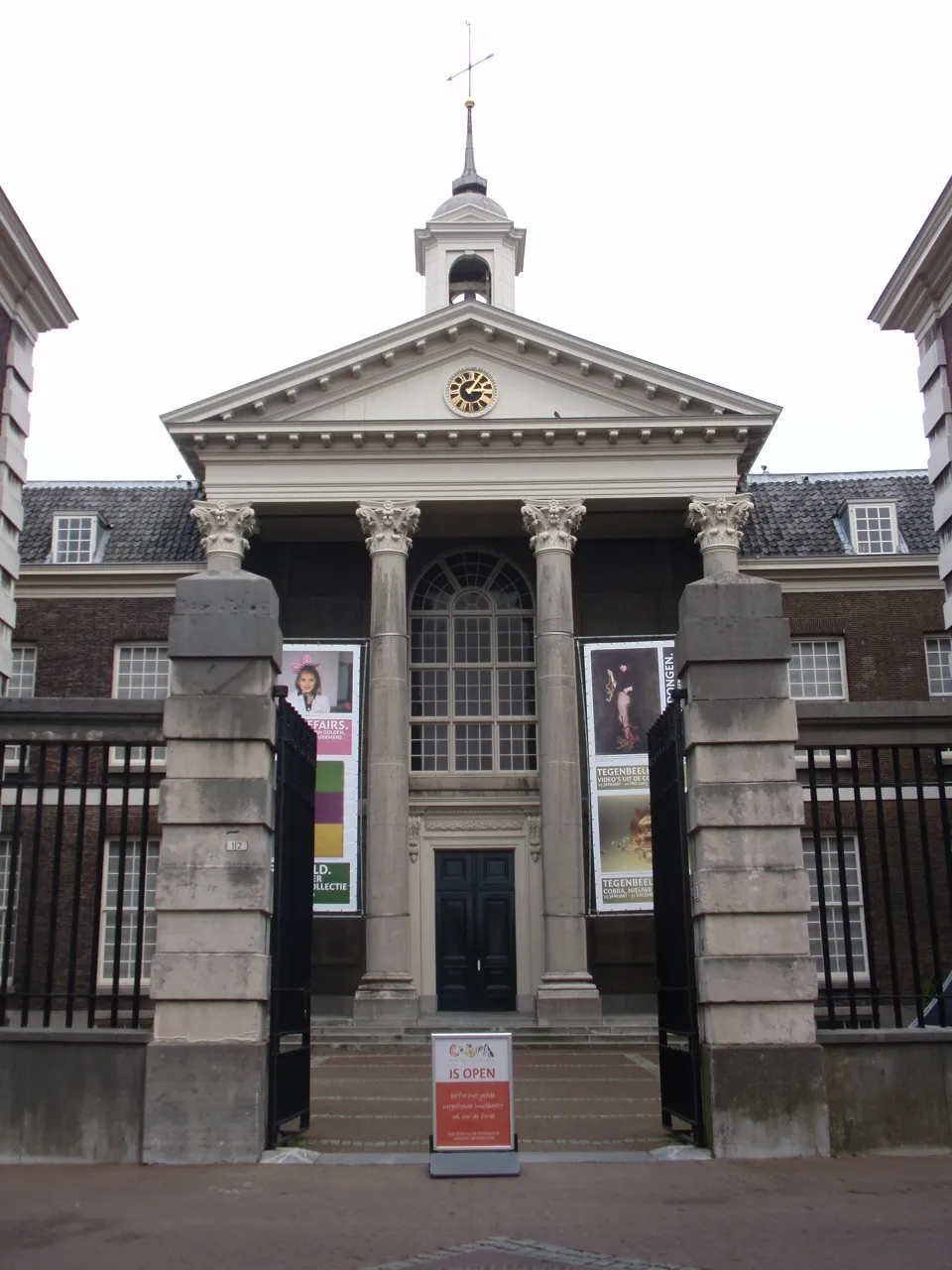 Stedelijk Museum Schiedam Museum, Schiedam Municipality10 km E
-
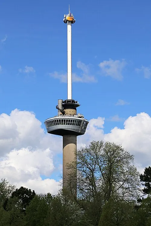 Euromast Landmark, Rotterdam Municipality15 km E
-
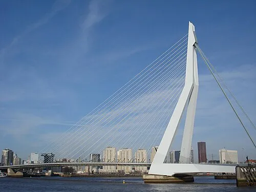 Erasmusbrug Landmark, Rotterdam Municipality16 km E
-
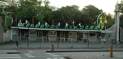 Diergaarde Blijdorp Attraction, Rotterdam Municipality14 km E
-
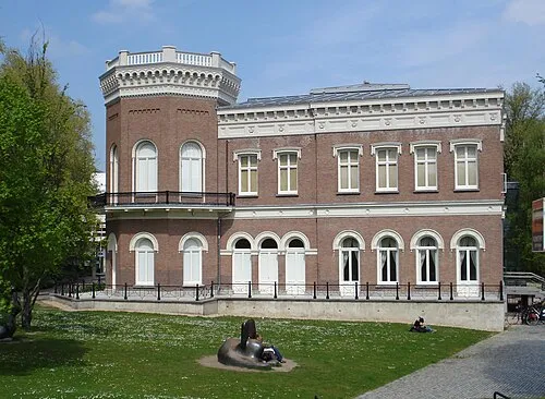 Natuurhistorisch Museum Rotterdam Museum, Rotterdam Municipality15 km E
-
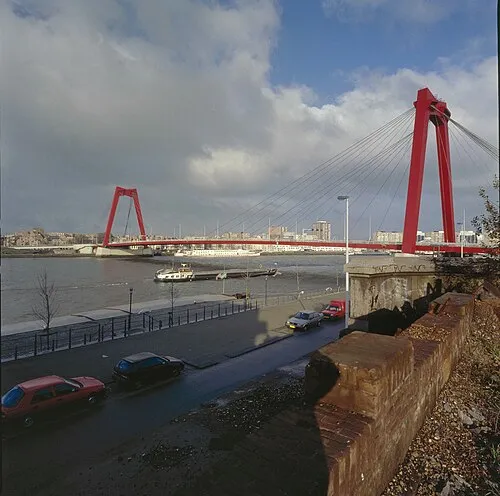 Willemsbrug Landmark, Rotterdam Municipality17 km E
-
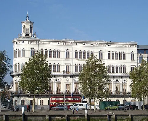 Wereldmuseum Rotterdam Museum, Rotterdam Municipality16 km E
-
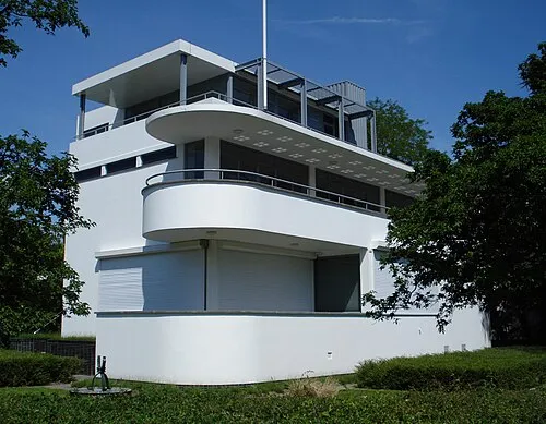 Chabot Museum Museum, Rotterdam Municipality15 km E
Sources & licences
Data last updated: