Gemeente Wassenaar
Located in South Holland, The Netherlands Coordinates: 52°08′16″ N 4°22′32″ E
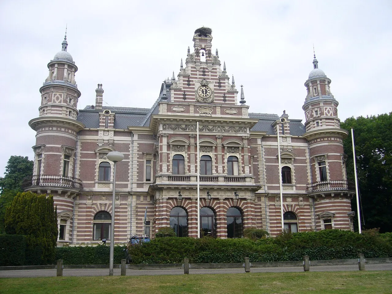
- Population
- 26,949
- 26.9K
- Elevation
- 14 m
- above sea level
- Local time
- UTC+01:00
- Europe/Amsterdam · UTC+01:00
- Places inside
- 5
- listed under Gemeente Wassenaar
- Airports
- RTM Rotterdam The Hague Airport21 km
- AMS Amsterdam Airport Schiphol33 km
About Gemeente Wassenaar
Gemeente Wassenaar is a district. Location: South Holland, The Netherlands. Population: 26,949.
Wassenaar (Dutch pronunciation: [ˈʋɑsənaːr] ; population: 26,949 in 2021) is a municipality and town located in the province of South Holland, on the western coast of the Netherlands. An affluent suburb of The Hague, Wassenaar lies 10 km (6 mi) north of that city on the N44/A44 highway near the North Sea coast. It is part of the Haaglanden region and the Rotterdam–The Hague metropolitan area. The municipality covers an area of 62.40 km2 (24.09 sq mi), of which 11.29 km2 (4.36 sq mi) is covered by water.
Source: Wikipedia · CC BY-SA 4.0
Photos of Gemeente Wassenaar
-
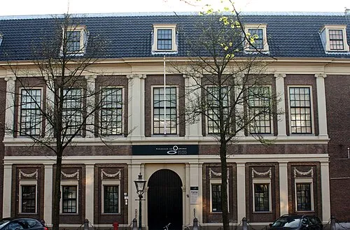
Rijksmuseum van Oudheden Goodness Shamrock · CC BY-SA 3.0 -
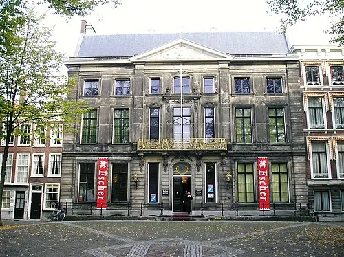
Escher Museum Andrew Crump · CC BY 2.0 -
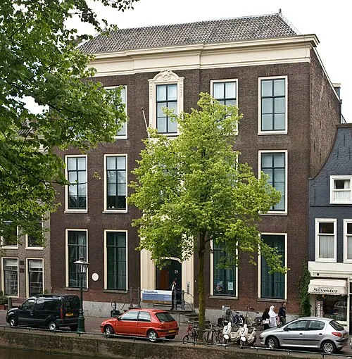
SieboldHuis Niels from Amsterdam, NL · CC BY-SA 2.0


Travel notes for Gemeente Wassenaar
From Wikivoyage
Wassenaar is a town in the province of South Holland in the Netherlands. Wassenaar is the richest municipality in the Netherlands, and is attractive as a residence for the wealthy with many grand villas. The private residence of King Willem-Alexander of the Netherlands, his wife, Queen Máxima of the Netherlands, and their daughters is located there.
Get in+
Wassenaar is about 10 km (6.2 mi) from The Hague and 51 km (32 mi) from Amsterdam. It is easily accessible via the N44/A44.
Source: Wikivoyage · CC BY-SA 4.0 · abridged
Places bordering Gemeente Wassenaar
- Gemeente Den Haag
- Gemeente Voorschoten
- Leiden Municipality
Population of Gemeente Wassenaar over time
| 1960 | 25,442 | |
|---|---|---|
| 1971 | 28,124 | |
| 1980 | 26,981 | |
| 1990 | 26,218 | |
| 2000 | 26,019 | |
| 2010 | 25,830 | |
| 2016 | 25,859 | |
| 2017 | 26,055 | |
| 2018 | 26,084 | |
| 2019 | 26,211 | |
| 2020 | 26,305 | |
| 2021 | 26,949 |
Censuses and official estimates; source: Wikidata.
Climate of Gemeente Wassenaar
Best months for sightseeingBest months for sightseeing: June–August.
This month · November
A cold month
Day 10° · Night 4° · Rain 96 mm
- Hottest month
- August (day 21°)
- Coldest month
- February (night 0°)
- Wettest month
- November (96 mm)
- Driest month
- April (48 mm)
Bars: average monthly low and high temperature. Below: precipitation. Monthly averages for 1970–2000 at about 18 km resolution, adjusted for elevation. Highlighted months are mild and relatively dry. Source: WorldClim 2.1 (CC BY 4.0).
Show values as a table
| Month | Jan | Feb | Mar | Apr | May | Jun | Jul | Aug | Sep | Oct | Nov | Dec |
|---|---|---|---|---|---|---|---|---|---|---|---|---|
| Average high (°C) | 6° | 6° | 9° | 12° | 16° | 19° | 21° | 21° | 18° | 14° | 10° | 7° |
| Average low (°C) | 1° | 0° | 2° | 4° | 8° | 10° | 13° | 13° | 10° | 7° | 4° | 2° |
| Precipitation (mm) | 70 | 50 | 65 | 48 | 50 | 70 | 72 | 64 | 90 | 92 | 96 | 82 |
How to get to Gemeente Wassenaar
The nearest airport is Rotterdam The Hague Airport (RTM), 21 km to the south as the crow flies. The nearest large city is Leiden, 8 km to the east.
Airports
- Rotterdam The Hague Airport (RTM) Rotterdam 21 kmsouth
- Amsterdam Airport Schiphol (AMS) Amsterdam 33 kmnortheast
- Eindhoven Airport (EIN) Eindhoven 103 kmsoutheast
Nearby large cities
- Leiden Population: 119.7K 8 kmeast
- The Hague Population: 474.3K 9 kmsouthwest
- Zoetermeer Population: 115.8K 12 kmsoutheast
- Rotterdam Population: 868.1K 25 kmsouth
- Hoofddorp Population: 132.7K 28 kmnortheast
Straight-line distances; road distances are longer. Airport data: OurAirports.
Day trips from Gemeente Wassenaar
Within 100 km: 157 historic and cultural sites, 70 natural sites, 61 lakes, rivers and coasts.
0–25 km13 places
- Habana Beach Beach 13 kmSW
- Vogelpark Avifauna Attraction 19 kmE
- Den Haag Concentration Camp Historic site 9 kmSW
- Oud Poelgeest Historic site 9 kmNE
25–60 km94 places
- IJsselmonde Island 32 kmS
- Ouddorp Beach Beach 48 kmSW
- Badstrand Rockanje Beach 37 kmSW
- Eiland van Brienenoord Island 29 kmSE
60–100 km181 places
- Putse Moer Lake 84 kmS
- Stappensven Lake 81 kmS
- Kleine Weel Lake 96 kmS
- Grote Weel Lake 96 kmS
Straight-line distances.
Places in Gemeente Wassenaar
5 placesBar: population relative to the most populous place in this list.
Nearby attractions & nature
Everything nearby-
Escher Museum Museum, Gemeente Den Haag7.4 km SW
-
Rijksmuseum van Oudheden Museum, Leiden Municipality7.9 km E
-
SieboldHuis Museum, Leiden Municipality7.8 km E
-
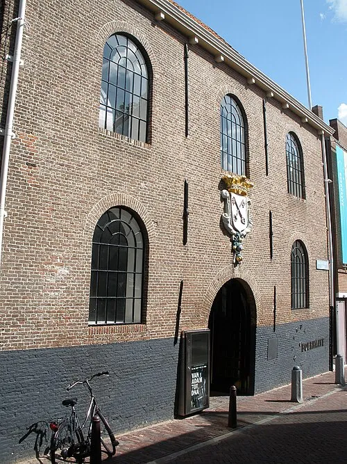 Museum Boerhaave Museum, Leiden Municipality8.2 km E
-
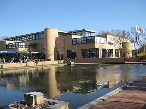 Museon Museum, Gemeente Den Haag8.5 km SW
-
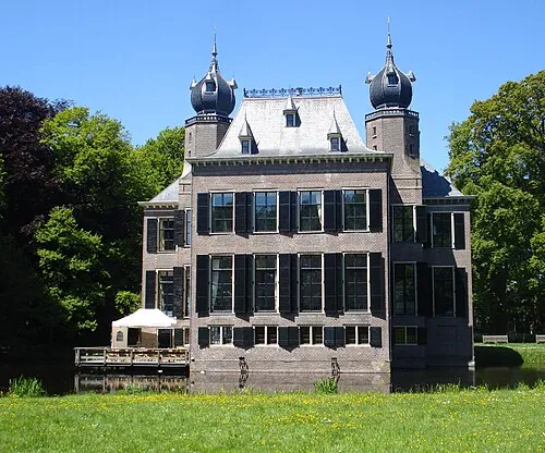 Oud Poelgeest Historic site, Oegstgeest Municipality8.8 km NE
Sources & licences
Data last updated: · 2 independent sources