Pijnacker
Located in Pijnacker-Nootdorp Municipality, South Holland Coordinates: 52°01′10″ N 4°25′46″ E
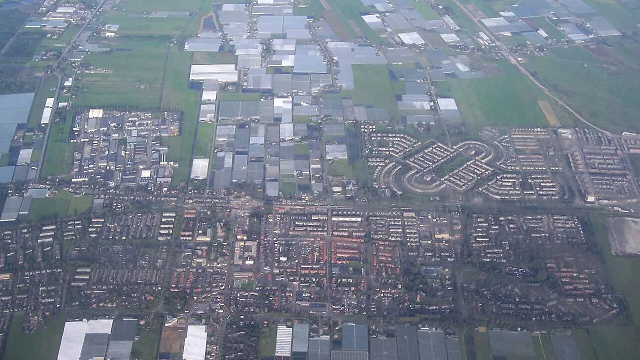
- Population
- 18,695
- 18.7K
- Elevation
- 0 m
- above sea level
- Local time
- UTC+01:00
- Europe/Amsterdam · UTC+01:00
About Pijnacker
Pijnacker is a town. Location: Pijnacker-Nootdorp Municipality, South Holland. Population: 18,695. Elevation: 0 m.
Pijnacker (Dutch pronunciation: [ˈpɛinɑkər]) is a town in the Dutch province of South Holland. It is bordered by Zoetermeer to the north, by Nootdorp to the northwest, by Delfgauw to the southwest, by Rotterdam (specifically Overschie) to the south and by Berkel en Rodenrijs to the east. Pijnacker was a separate municipality until 2002, when it merged with Nootdorp to form Pijnacker-Nootdorp, which is a part of Greater The Hague.
Read more on Wikipedia Text: Wikipedia contributors · CC BY-SA 4.0 · shortened
In comparison
Climate of Pijnacker
Best months for sightseeing: June–August.
| Month | Jan | Feb | Mar | Apr | May | Jun | Jul | Aug | Sep | Oct | Nov | Dec |
|---|---|---|---|---|---|---|---|---|---|---|---|---|
| Average high (°C) | 6° | 6° | 9° | 12° | 16° | 19° | 21° | 21° | 18° | 14° | 10° | 7° |
| Average low (°C) | 1° | 0° | 2° | 4° | 8° | 10° | 13° | 13° | 11° | 7° | 4° | 2° |
| Precipitation (mm) | 70 | 50 | 65 | 48 | 50 | 70 | 72 | 64 | 90 | 92 | 96 | 82 |
Monthly averages for 1970–2000 at about 18 km resolution, adjusted for elevation. Highlighted months are mild and relatively dry. Source: WorldClim 2.1 (CC BY 4.0).
Airports nearest to Pijnacker
- Rotterdam The Hague Airport (RTM) Rotterdam 7 km
- Amsterdam Airport Schiphol (AMS) Amsterdam 39 km
- Eindhoven Airport (EIN) Eindhoven 91 km
Straight-line distance; airports with scheduled flights only. Source: OurAirports (public domain).
Nearby attractions & nature
Everything nearby-
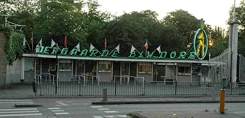 Diergaarde Blijdorp Attraction, Rotterdam Municipality10 km S
-
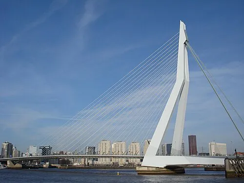 Erasmusbrug Landmark, Rotterdam Municipality13 km S
-
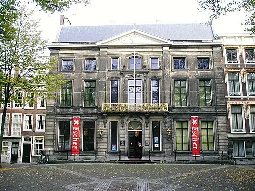 Escher Museum Museum, Gemeente Den Haag11 km NW
-
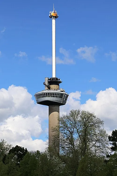 Euromast Landmark, Rotterdam Municipality13 km S
-
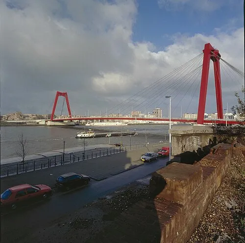 Willemsbrug Landmark, Rotterdam Municipality12 km S
-
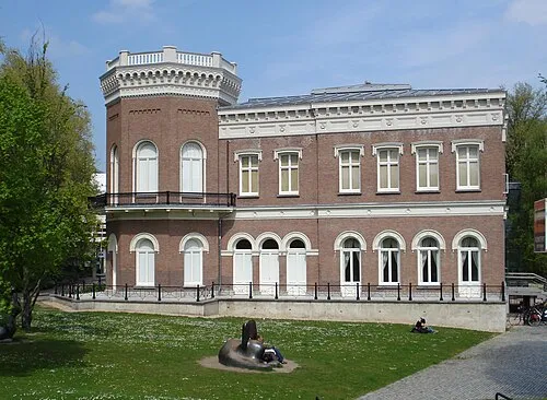 Natuurhistorisch Museum Rotterdam Museum, Rotterdam Municipality12 km S
-
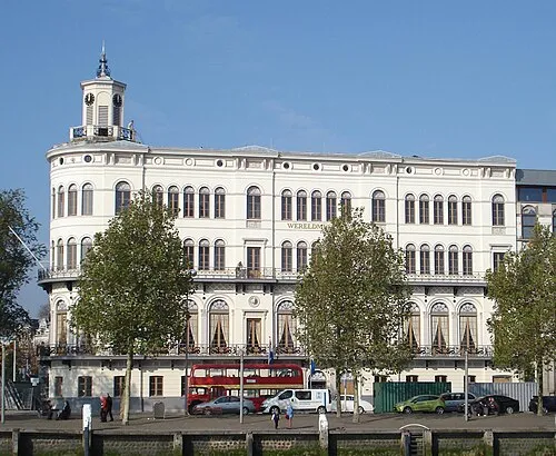 Wereldmuseum Rotterdam Museum, Rotterdam Municipality13 km S
-
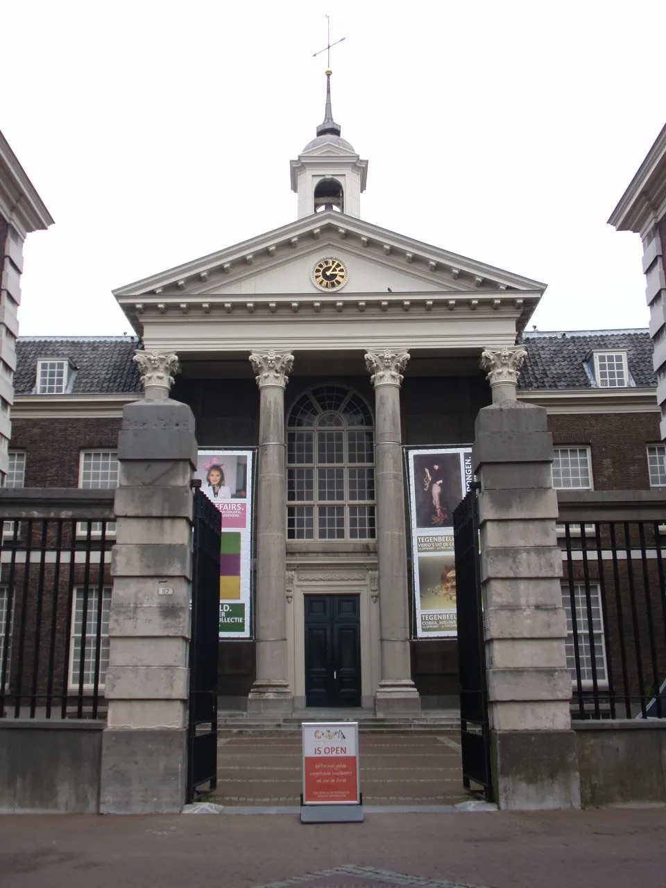 Stedelijk Museum Schiedam Museum, Schiedam Municipality12 km S
Sources & licences
Data last updated: · 2 independent sources