Kamerik
Located in Gemeente Woerden, Utrecht Coordinates: 52°06′39″ N 4°53′40″ E
- Elevation
- 0 m
- above sea level
- Local time
- UTC+01:00
- Europe/Amsterdam · UTC+01:00
About Kamerik
Kamerik is a village. Location: Gemeente Woerden, Utrecht. Elevation: 0 m.
Kamerik is a village in the Dutch province of Utrecht. It is a part of the municipality of Woerden and is situated about 3 km north of Woerden. In 2010 the village of Kamerik (including Kanis) had 3808 inhabitants. The built-up area of the town was 0.43 km² and contained 877 residences. The statistical district "Kamerik and Kanis", which includes two villages and the surrounding countryside, has a population of around 3050. This does not include the separate villages of Kamerik-Mijzijde and Oud-Kamerik.
Read more on Wikipedia Text: Wikipedia contributors · CC BY-SA 4.0 · shortened
In comparison
Airports nearest to Kamerik
- Amsterdam Airport Schiphol (AMS) Amsterdam 24 km
- Rotterdam The Hague Airport (RTM) Rotterdam 36 km
- Eindhoven Airport (EIN) Eindhoven 81 km
Straight-line distance; airports with scheduled flights only. Source: OurAirports (public domain).
Nearby attractions & nature
Everything nearby-
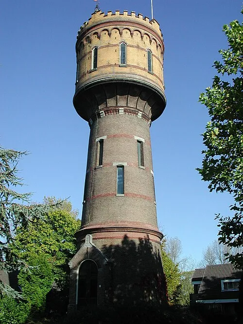 Watertoren Landmark, Gemeente Woerden2.6 km S
-
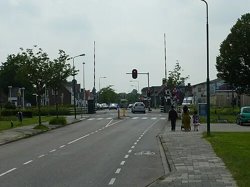 Meernbrug Landmark, Gemeente Utrecht10 km E
-
 Museum Catharijneconvent Museum, Gemeente Utrecht16 km E
-
 Jacobikerk Attraction, Gemeente Utrecht15 km E
-
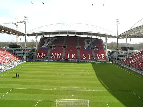 Stadion Galgenwaard Landmark, Gemeente Utrecht18 km E
-
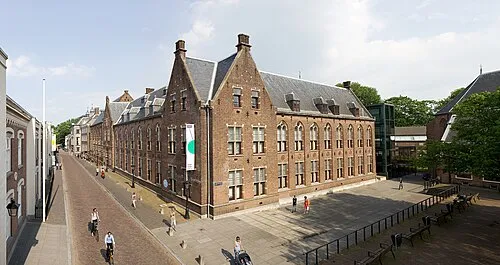 Centraal Museum Museum, Gemeente Utrecht16 km E
Sources & licences
Data last updated: · 2 independent sources