- Population
- 1,675
- 1.7K
- Elevation
- 13 m
- above sea level
- Local time
- UTC+01:00
- Europe/Amsterdam · UTC+01:00
- Airports
- AMS Amsterdam Airport Schiphol39 km
- RTM Rotterdam The Hague Airport58 km
About Bosch en Duin
Bosch en Duin is a village. Location: Gemeente Zeist, Utrecht. Population: 1,675. Elevation: 13 m.
Bosch en Duin is a village in Zeist municipality, in the Dutch province of Utrecht. The village is situated to the north of the town of Zeist, and borders Huis ter Heide to the east and Den Dolder to the north. The village is entirely made up of estates surrounded by forest. With 70%, Bosch en Duin has the highest percentage of houses worth more than 1 million euros of any town in the Netherlands, and also the highest average house price of all towns in the country.
Source: Wikipedia · CC BY-SA 4.0
Photos of Bosch en Duin
-
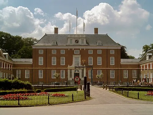
Slot Zeist Michielverbeek · CC BY-SA 3.0 -
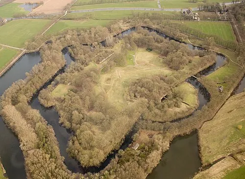
Rijnauwen Fort Johan Bakker · CC BY-SA 3.0 nl -
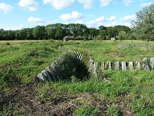
Ruigenhoek Fort Kattenkruid · CC BY 3.0 -
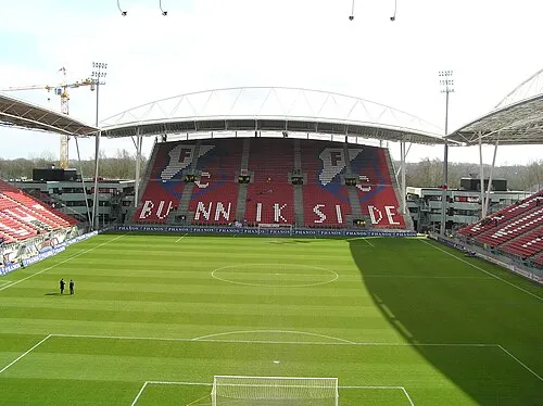
Stadion Galgenwaard Kevertje77 at Dutch Wikipedia · CC BY-SA 3.0


Climate of Bosch en Duin
Best months for sightseeingBest months for sightseeing: June–August.
This month · November
A cold month
Day 9° · Night 3° · Rain 83 mm
- Hottest month
- August (day 22°)
- Coldest month
- February (night 0°)
- Wettest month
- November (83 mm)
- Driest month
- April (47 mm)
Bars: average monthly low and high temperature. Below: precipitation. Monthly averages for 1970–2000 at about 18 km resolution, adjusted for elevation. Highlighted months are mild and relatively dry. Source: WorldClim 2.1 (CC BY 4.0).
Show values as a table
| Month | Jan | Feb | Mar | Apr | May | Jun | Jul | Aug | Sep | Oct | Nov | Dec |
|---|---|---|---|---|---|---|---|---|---|---|---|---|
| Average high (°C) | 5° | 6° | 9° | 13° | 18° | 20° | 22° | 22° | 19° | 14° | 9° | 6° |
| Average low (°C) | 0° | 0° | 2° | 3° | 8° | 10° | 12° | 12° | 10° | 6° | 3° | 1° |
| Precipitation (mm) | 70 | 52 | 68 | 47 | 62 | 72 | 73 | 60 | 73 | 76 | 83 | 79 |
How to get to Bosch en Duin
The nearest airport is Amsterdam Airport Schiphol (AMS), 39 km to the northwest as the crow flies. The nearest large city is Utrecht, 9 km to the west.
Airports
- Amsterdam Airport Schiphol (AMS) Amsterdam 39 kmnorthwest
- Rotterdam The Hague Airport (RTM) Rotterdam 58 kmwest
- Eindhoven Airport (EIN) Eindhoven 75 kmsouth
Nearby large cities
- Utrecht Population: 376.4K 9 kmwest
- Amersfoort Population: 139.9K 11 kmnortheast
- Almere Stad Population: 176.4K 28 kmnorth
- Amsterdam Population: 741.6K 37 kmnorthwest
- Hoofddorp Population: 132.7K 43 kmnorthwest
Straight-line distances; road distances are longer. Airport data: OurAirports.
Day trips from Bosch en Duin
Within 100 km: 171 historic and cultural sites, 161 natural sites, 104 lakes, rivers and coasts.
0–25 km27 places
- Zwarte Berg Mountain 9 kmNW
- Hoorneboeg Mountain 11 kmNW
- Galgenberg Mountain 9 kmE
- Elsterberg Mountain 22 kmSE
25–60 km160 places
- IJsselmonde Island 57 kmSW
- Wijlermeer Lake 59 kmSE
- Steinwässerung River 60 kmSE
- Oude Rijn River 58 kmE
60–100 km249 places
- Putjensberg Mountain 60 kmNE
- Putse Moer Lake 99 kmSW
- Stappensven Lake 96 kmSW
- Zandbergen Natural site 100 kmS
Straight-line distances.
Nearby attractions & nature
Everything nearby-
Slot Zeist Historic site, Gemeente Zeist4.2 km S
-
De Soesterberg Mountain, Soest Municipality4.3 km NE
-
Stadion Galgenwaard Landmark, Gemeente Utrecht7.8 km SW
-
Rijnauwen Fort Historic site, Bunnik Municipality6.4 km SW
-
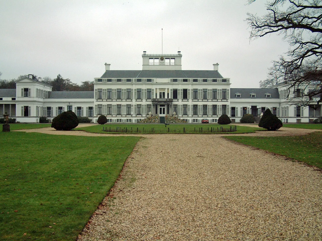 Soestdijk Palace Historic site, Baarn Municipality8.9 km N
-
 Museum Catharijneconvent Museum, Gemeente Utrecht8.7 km W
Sources & licences
Data last updated: · 2 independent sources