Linschoten
Located in Montfoort Municipality, Utrecht Coordinates: 52°03′45″ N 4°54′55″ E
- Population
- 3,435
- 3.4K
- Elevation
- 0 m
- above sea level
- Local time
- UTC+01:00
- Europe/Amsterdam · UTC+01:00
About Linschoten
Linschoten is a village. Location: Montfoort Municipality, Utrecht. Population: 3,435. Elevation: 0 m.
Linschoten (Dutch pronunciation: [ˈlɪnsxoːtə(n)]) is a village in the Dutch province of Utrecht. It is a part of the municipality of Montfoort, and lies about 3 km southeast of Woerden.
Read more on Wikipedia Text: Wikipedia contributors · CC BY-SA 4.0 · shortened
In comparison
- No. 2 of 4 places in Montfoort Municipality by population
- Nearest larger town: Montfoort, 3 km SE
- 2 sights and natural places within 10 km Watertoren, Meernbrug
Nearby attractions & nature
Everything nearby-
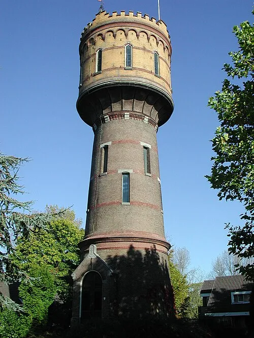 Watertoren Landmark, Gemeente Woerden3.6 km NW
-
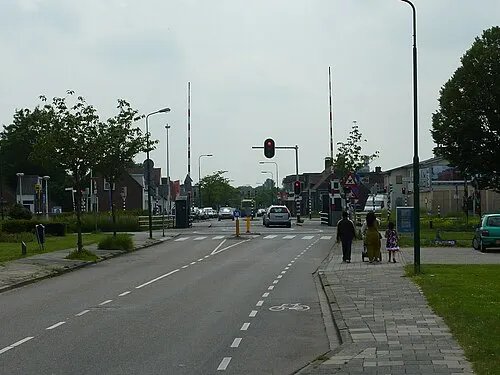 Meernbrug Landmark, Gemeente Utrecht8.6 km E
-
 Museum Catharijneconvent Museum, Gemeente Utrecht15 km E
-
 Jacobikerk Attraction, Gemeente Utrecht14 km E
-
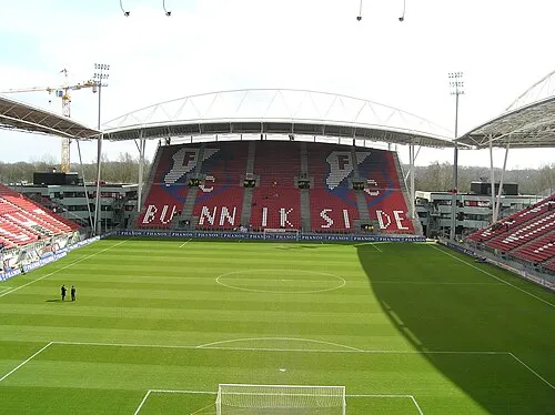 Stadion Galgenwaard Landmark, Gemeente Utrecht16 km E
-
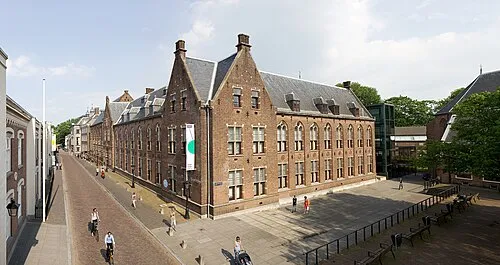 Centraal Museum Museum, Gemeente Utrecht15 km E
Sources & licences
Data last updated: · 2 independent sources