Mastwijk
Located in Montfoort Municipality, Utrecht Coordinates: 52°03′18″ N 4°57′20″ E
- Elevation
- -1 m
- above sea level
- Local time
- UTC+01:00
- Europe/Amsterdam · UTC+01:00
About Mastwijk
Mastwijk is a village. Location: Montfoort Municipality, Utrecht. Elevation: -1 m.
Mastwijk is a village in the Dutch province of Utrecht. It is a part of the municipality of Montfoort, and lies about 6 km southeast of Woerden. It was first mentioned in 1217 as Mastwyck. Wijk means settlement, but mast either means pole or fodder. Mastwijk used to have its own place name sign, however nowadays it reads Montfoort. The polder around Mastwijk is situated dates around 1200. Schurenburg was a fortified house which was first mentioned 1341. It was demolished in the 18th century.
Read more on Wikipedia Text: Wikipedia contributors · CC BY-SA 4.0 · shortened
In comparison
- Nearest larger town: Heeswijk, 1 km E
- 2 sights and natural places within 10 km Watertoren, Meernbrug
Climate of Mastwijk
Best months for sightseeing: June–August.
| Month | Jan | Feb | Mar | Apr | May | Jun | Jul | Aug | Sep | Oct | Nov | Dec |
|---|---|---|---|---|---|---|---|---|---|---|---|---|
| Average high (°C) | 5° | 6° | 9° | 12° | 17° | 19° | 22° | 22° | 19° | 14° | 9° | 7° |
| Average low (°C) | 0° | 0° | 2° | 4° | 7° | 10° | 12° | 12° | 10° | 7° | 3° | 1° |
| Precipitation (mm) | 67 | 50 | 64 | 45 | 58 | 71 | 71 | 59 | 75 | 78 | 84 | 77 |
Monthly averages for 1970–2000 at about 18 km resolution, adjusted for elevation. Highlighted months are mild and relatively dry. Source: WorldClim 2.1 (CC BY 4.0).
Airports nearest to Mastwijk
- Amsterdam Airport Schiphol (AMS) Amsterdam 31 km
- Rotterdam The Hague Airport (RTM) Rotterdam 37 km
- Eindhoven Airport (EIN) Eindhoven 73 km
Straight-line distance; airports with scheduled flights only. Source: OurAirports (public domain).
Nearby attractions & nature
Everything nearby-
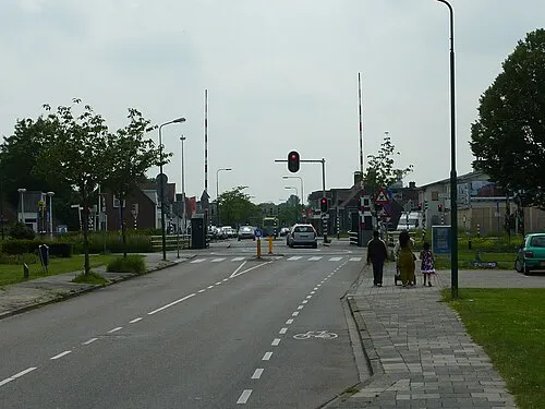 Meernbrug Landmark, Gemeente Utrecht6.4 km NE
-
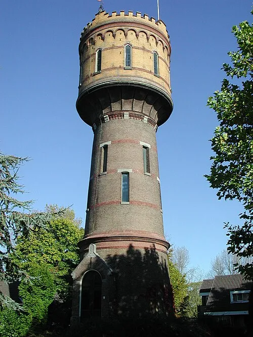 Watertoren Landmark, Gemeente Woerden6.1 km NW
-
 Museum Catharijneconvent Museum, Gemeente Utrecht12 km E
-
 Jacobikerk Attraction, Gemeente Utrecht12 km E
-
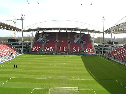 Stadion Galgenwaard Landmark, Gemeente Utrecht13 km E
-
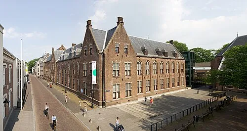 Centraal Museum Museum, Gemeente Utrecht12 km E
Sources & licences
Data last updated: · 2 independent sources