Ruigeweide
Located in Oudewater Municipality, Utrecht Coordinates: 52°01′48″ N 4°49′45″ E
- Elevation
- -2 m
- above sea level
- Local time
- UTC+01:00
- Europe/Amsterdam · UTC+01:00
About Ruigeweide
Ruigeweide is a village. Location: Oudewater Municipality, Utrecht. Elevation: -2 m.
Ruigeweide is a hamlet in the Dutch province of Utrecht. It is a part of the municipality of Oudewater, and lies about 2 km northwest of the city of Oudewater. It was first mentioned in 1371 as "in de ruwer weyde, ende op ter langher weyde", and means meadow with rough vegetation. Also to distinguish it from Langeweide. The postal authorities have placed it under Oudewater. The hamlet has no place name signs. In 1840, Ruigeweide was home to 84 people.
Read more on Wikipedia Text: Wikipedia contributors · CC BY-SA 4.0 · shortened
In comparison
Nearby attractions & nature
Everything nearby-
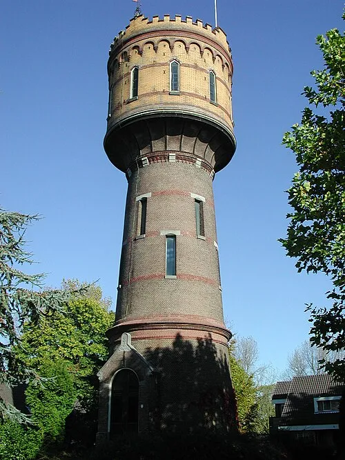 Watertoren Landmark, Gemeente Woerden7.6 km NE
-
 Museum Catharijneconvent Museum, Gemeente Utrecht21 km E
-
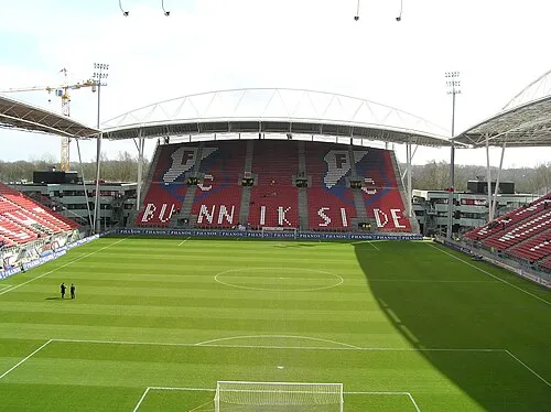 Stadion Galgenwaard Landmark, Gemeente Utrecht22 km E
-
 Jacobikerk Attraction, Gemeente Utrecht21 km E
-
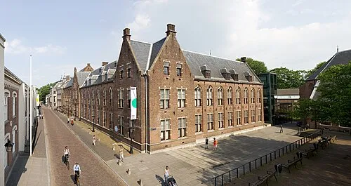 Centraal Museum Museum, Gemeente Utrecht21 km E
-
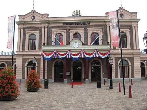 Het Spoorwegmuseum Museum, Gemeente Utrecht22 km E
Sources & licences
Data last updated: · 2 independent sources