Snelrewaard
Located in Oudewater Municipality, Utrecht Coordinates: 52°01′39″ N 4°54′30″ E
- Population
- 825
- 825
- Elevation
- -3 m
- above sea level
- Local time
- UTC+01:00
- Europe/Amsterdam · UTC+01:00
About Snelrewaard
Snelrewaard is a village. Location: Oudewater Municipality, Utrecht. Population: 825. Elevation: -3 m.
Snelrewaard is a hamlet in the Dutch province of Utrecht. It is a part of the municipality of Oudewater, and lies about 2 km east of the city of Oudewater. A small part of the hamlet is in Montfoort. Snelrewaard was a separate municipality from 1817 to 1989, when it was merged with Oudewater. It was first mentioned around 1307 as Snoyelrewaert, and means "land near water belonging to Snel (polder)". Snelrewaard has place name signs. In 1840, it was home to 140 people.
Read more on Wikipedia Text: Wikipedia contributors · CC BY-SA 4.0 · shortened
In comparison
- No. 3 of 5 places in Oudewater Municipality by population
- Nearest larger town: Oudewater, 3 km W
Nearby attractions & nature
Everything nearby-
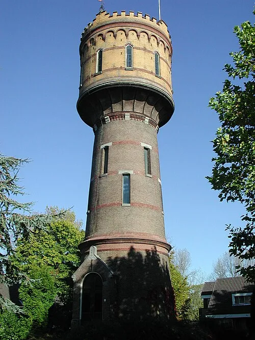 Watertoren Landmark, Gemeente Woerden7 km N
-
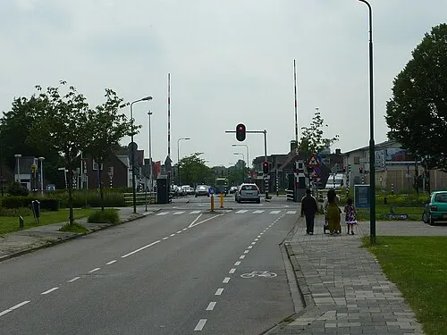 Meernbrug Landmark, Gemeente Utrecht11 km NE
-
 Museum Catharijneconvent Museum, Gemeente Utrecht16 km NE
-
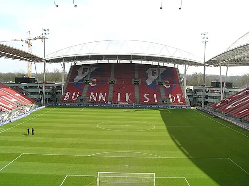 Stadion Galgenwaard Landmark, Gemeente Utrecht17 km E
-
 Jacobikerk Attraction, Gemeente Utrecht16 km NE
-
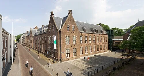 Centraal Museum Museum, Gemeente Utrecht16 km NE
Sources & licences
Data last updated: · 2 independent sources