Hekendorp
Located in Oudewater Municipality, Utrecht Coordinates: 52°00′54″ N 4°48′30″ E
- Population
- 843
- 843
- Elevation
- 1 m
- above sea level
- Local time
- UTC+01:00
- Europe/Amsterdam · UTC+01:00
About Hekendorp
Hekendorp is a village. Location: Oudewater Municipality, Utrecht. Population: 843. Elevation: 1 m.
Hekendorp is a village in the Dutch province of Utrecht. It is a part of the municipality of Oudewater, and lies about 6 km east of Gouda. Hekendorp was a separate municipality between 1817 and 1964, when it merged with Driebruggen. During this period, the area was part of the province South Holland. In 1857, the municipality of Oukoop was added to Hekendorp, even though the two former municipalities did not border each other.
Read more on Wikipedia Text: Wikipedia contributors · CC BY-SA 4.0 · shortened
In comparison
- No. 2 of 5 places in Oudewater Municipality by population
- Nearest larger town: Stein, 2 km SW
Nearby attractions & nature
Everything nearby-
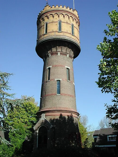 Watertoren Landmark, Gemeente Woerden9.7 km NE
-
 Museum Catharijneconvent Museum, Gemeente Utrecht23 km E
-
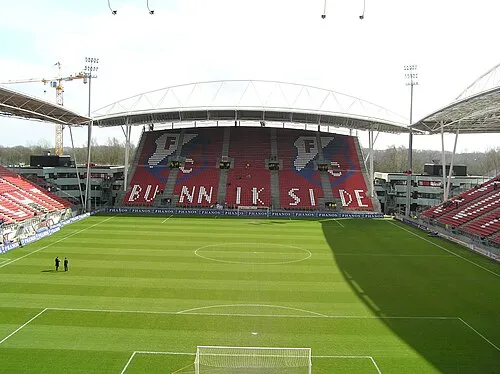 Stadion Galgenwaard Landmark, Gemeente Utrecht24 km E
-
 Jacobikerk Attraction, Gemeente Utrecht23 km NE
-
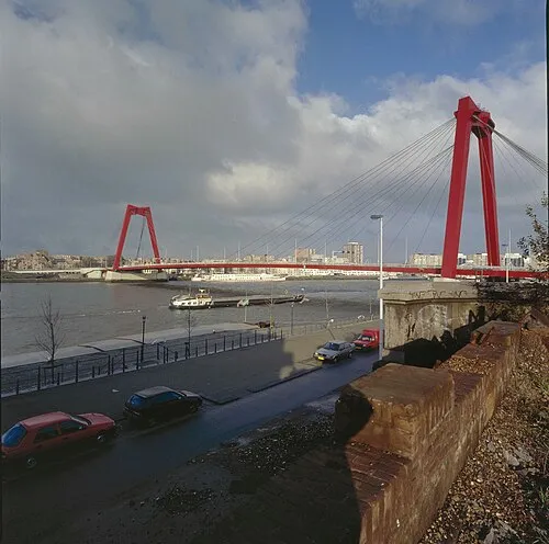 Willemsbrug Landmark, Rotterdam Municipality24 km SW
-
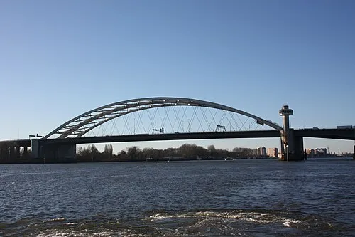 Van Brienenoordbrug Landmark, Rotterdam Municipality22 km SW
Sources & licences
Data last updated: · 2 independent sources