Tappersheul
Located in Oudewater Municipality, Utrecht Coordinates: 52°02′09″ N 4°51′35″ E
- Population
- 140
- 140
- Elevation
- -2 m
- above sea level
- Local time
- UTC+01:00
- Europe/Amsterdam · UTC+01:00
About Tappersheul
Tappersheul is a village. Location: Oudewater Municipality, Utrecht. Population: 140. Elevation: -2 m.
In comparison
- No. 5 of 5 places in Oudewater Municipality by population
- Nearest larger town: Oudewater, 1 km SE
Nearby attractions & nature
Everything nearby-
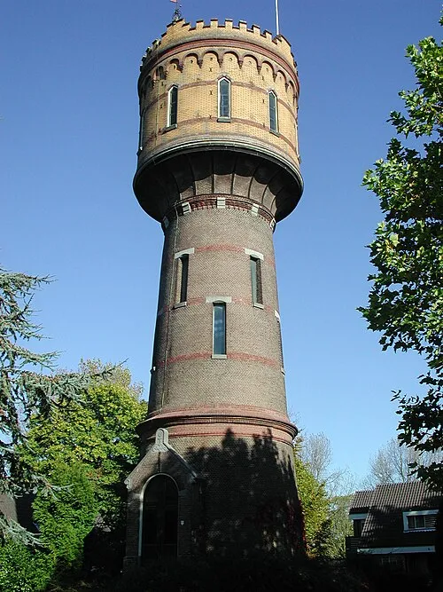 Watertoren Landmark, Gemeente Woerden6.1 km N
-
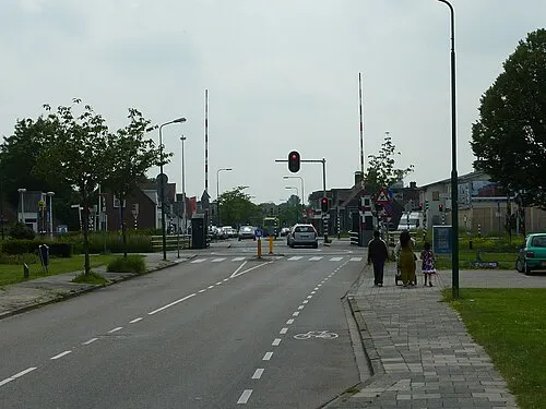 Meernbrug Landmark, Gemeente Utrecht13 km NE
-
 Kasteel Heemstede Historic site, Gemeente Houten18 km E
-
 Jacobikerk Attraction, Gemeente Utrecht19 km E
-
 Museum Catharijneconvent Museum, Gemeente Utrecht19 km E
-
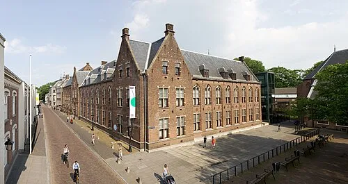 Centraal Museum Museum, Gemeente Utrecht19 km E
Sources & licences
Data last updated: