Maarsseveen
Located in Stichtse Vecht, Utrecht Coordinates: 52°08′27″ N 5°04′24″ E
- Population
- 580
- 580
- Elevation
- -1 m
- above sea level
- Local time
- UTC+01:00
- Europe/Amsterdam · UTC+01:00
About Maarsseveen
Maarsseveen is a village. Location: Stichtse Vecht, Utrecht. Population: 580. Elevation: -1 m.
Maarsseveen is a former hamlet in the Dutch province of Utrecht. It was located on the east bank of the Vecht River, opposite the village of Maarssen, and has now been completely absorbed by that town. Since 2011 they form part of the municipality of Stichtse Vecht. From 1815 to 1949, Maarsseveen was a separate municipality. Apart from the hamlet itself, the municipality covered the polder Maarsseveen, and the hamlet of Oud-Maarsseveen.
Read more on Wikipedia Text: Wikipedia contributors · CC BY-SA 4.0 · shortened
In comparison
- No. 12 of 22 places in Stichtse Vecht by population
- Nearest larger town: Zandweg-Oostwaard, 2 km W
- 11 sights and natural places within 10 km Ruigenhoek Fort, Jacobikerk
Nearby attractions & nature
Everything nearby-
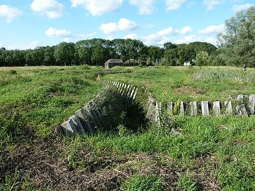 Ruigenhoek Fort Historic site, De Bilt Municipality4.1 km E
-
 Jacobikerk Attraction, Gemeente Utrecht5.8 km SE
-
 Museum Catharijneconvent Museum, Gemeente Utrecht6.9 km SE
-
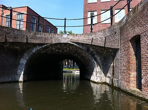 Plompetorenbrug Landmark, Gemeente Utrecht6 km SE
-
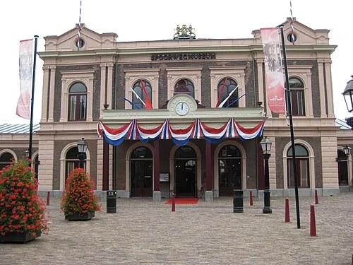 Het Spoorwegmuseum Museum, Gemeente Utrecht7.1 km SE
-
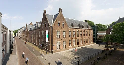 Centraal Museum Museum, Gemeente Utrecht7.3 km SE
Sources & licences
Data last updated: · 2 independent sources