Portengen
Located in Stichtse Vecht, Utrecht Coordinates: 52°09′15″ N 4°57′55″ E
- Population
- 76
- 76
- Elevation
- -1 m
- above sea level
- Local time
- UTC+01:00
- Europe/Amsterdam · UTC+01:00
About Portengen
Portengen is a village. Location: Stichtse Vecht, Utrecht. Population: 76. Elevation: -1 m.
Portengen is a hamlet in the Dutch province of Utrecht. It is located in the municipality of Stichtse Vecht, 1 km (0.62 mi) northeast of Kockengen. Portengen was a separate municipality from 1818 to 1857, when it was merged with Breukelen-Nijenrode. The hamlet was first mentioned in 1217 as Britannien, and is a reference to Brittany, France. It started as a peat excavation colony during the 11th and 12th century. The hamlet of Portengensebrug is an enclave within Portengen. In 1840, Portengen was home to 55 people.
Read more on Wikipedia Text: Wikipedia contributors · CC BY-SA 4.0 · shortened
In comparison
- No. 21 of 22 places in Stichtse Vecht by population
- Nearest larger town: Portengense Brug, 1 km NW
- 3 sights and natural places within 10 km Nieuwersluis Fort, Watertoren
Nearby attractions & nature
Everything nearby-
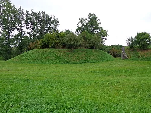 Nieuwersluis Fort Historic site, Stichtse Vecht5.4 km NE
-
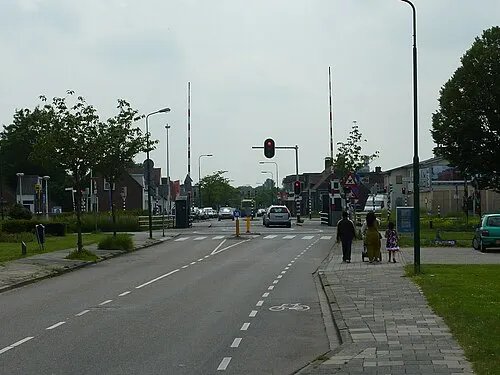 Meernbrug Landmark, Gemeente Utrecht9.3 km SE
-
 Jacobikerk Attraction, Gemeente Utrecht12 km SE
-
 Museum Catharijneconvent Museum, Gemeente Utrecht13 km SE
-
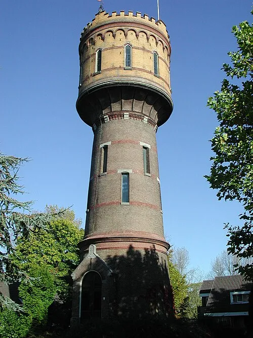 Watertoren Landmark, Gemeente Woerden9.1 km SW
-
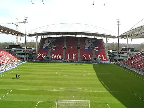 Stadion Galgenwaard Landmark, Gemeente Utrecht15 km SE
Sources & licences
Data last updated: · 2 independent sources