Oukoop
Located in Stichtse Vecht, Utrecht Coordinates: 52°12′15″ N 4°58′35″ E
- Elevation
- -2 m
- above sea level
- Local time
- UTC+01:00
- Europe/Amsterdam · UTC+01:00
About Oukoop
Oukoop is a village. Location: Stichtse Vecht, Utrecht. Elevation: -2 m.
Oukoop is a hamlet in the Dutch province of Utrecht. It is a part of the municipality of Stichtse Vecht, and lies about 14 km west of Hilversum. The hamlet was first mentioned in 1217 as Aldencoep, and means "old (peat) concession". In 1840, Oukoop was home to 111 people.
Read more on Wikipedia Text: Wikipedia contributors · CC BY-SA 4.0 · shortened
In comparison
Nearby attractions & nature
Everything nearby-
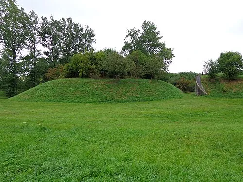 Nieuwersluis Fort Historic site, Stichtse Vecht2.1 km SE
-
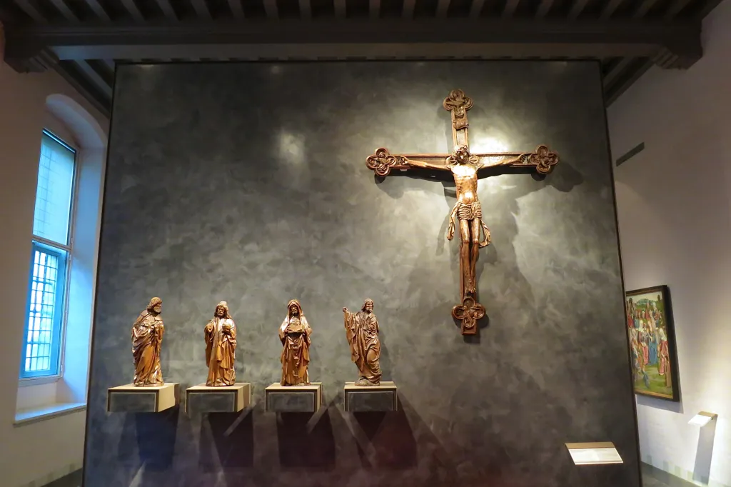 Museum Catharijneconvent Museum, Gemeente Utrecht16 km SE
-
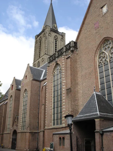 Jacobikerk Attraction, Gemeente Utrecht15 km SE
-
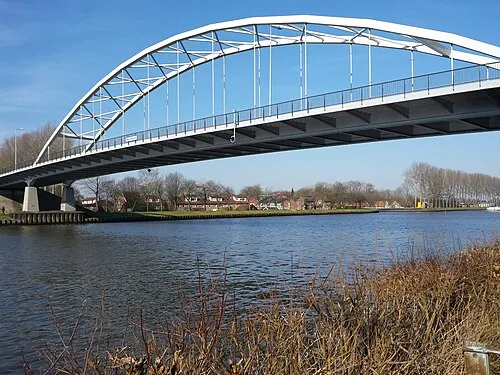 Weesperbrug Landmark, Gemeente De Ronde Venen11 km N
-
Olympic Stadium Landmark, Gemeente Amsterdam18 km NW
-
 Stadion Galgenwaard Landmark, Gemeente Utrecht18 km SE
Sources & licences
Data last updated: · 2 independent sources