Slijkplaat
Located in Sluis Municipality, Zeeland Coordinates: 51°22′39″ N 3°36′10″ E
- Elevation
- 0 m
- above sea level
- Local time
- UTC+01:00
- Europe/Amsterdam · UTC+01:00
About Slijkplaat
Slijkplaat is a village. Location: Sluis Municipality, Zeeland. Elevation: 0 m.
Slijkplaat (English: Mud plate) is a hamlet in the Dutch province of Zeeland. It is located in the municipality of Sluis. The hamlet exists of two streets (one name) and 28 houses. Restaurant De Kromme Watergang (two Michelin stars) is located in the village. A Catholic church was built in 1953 or 1959, but closed in 2013. The church has been converted into a residential house.
Read more on Wikipedia Text: Wikipedia contributors · CC BY-SA 4.0 · shortened
In comparison
Nearby attractions & nature
Everything nearby-
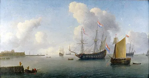 Fort Rammekens Historic site, Gemeente Vlissingen9.1 km NE
-
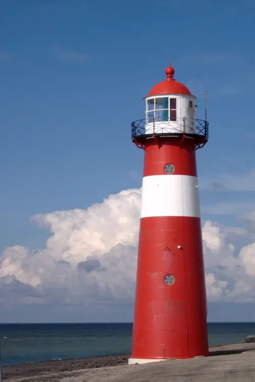 Noorderhoofd Landmark, Veere Municipality21 km NW
-
Soelekerkplaat Mountain, Veere Municipality19 km N
-
Ellewoutsdijk Fort Historic site, Borsele Municipality15 km E
-
Aardbeieneiland Island, Gemeente Middelburg18 km N
-
Molenkreek River, East Flanders11 km S
Sources & licences
Data last updated: · 2 independent sources