- Population
- 275
- 275
- Elevation
- 2 m
- above sea level
- Local time
- UTC+01:00
- Europe/Amsterdam · UTC+01:00
- Airports
- OST Ostend-Bruges International Airport46 km
- ANR Antwerp International Airport (Deurne)72 km
About Nieuwvliet
Nieuwvliet is a village. Location: Sluis Municipality, Zeeland. Population: 275. Elevation: 2 m.
Nieuwvliet is a village in the Dutch province of Zeeland. It is located about 5 km north of Oostburg, in the municipality of Sluis The village was first mentioned in 1514 as Nieuvliet. "Vliet" means stream. Nieuw (new) was added to distinguish from another vliet, however there are multiple candidates. The current village developed after the Groote Sint Annapolder was poldered in 1602. Around 1650, the polder contained two hamlets: Nieuwvliet and Sinte Pier.
Source: Wikipedia · CC BY-SA 4.0
Climate of Nieuwvliet
Best months for sightseeingBest months for sightseeing: June–August.
This month · November
A cold month
Day 10° · Night 5° · Rain 82 mm
- Hottest month
- August (day 21°)
- Coldest month
- February (night 1°)
- Wettest month
- October (82 mm)
- Driest month
- April (45 mm)
Bars: average monthly low and high temperature. Below: precipitation. Monthly averages for 1970–2000 at about 18 km resolution, adjusted for elevation. Highlighted months are mild and relatively dry. Source: WorldClim 2.1 (CC BY 4.0).
Show values as a table
| Month | Jan | Feb | Mar | Apr | May | Jun | Jul | Aug | Sep | Oct | Nov | Dec |
|---|---|---|---|---|---|---|---|---|---|---|---|---|
| Average high (°C) | 6° | 6° | 9° | 12° | 16° | 18° | 21° | 21° | 19° | 15° | 10° | 7° |
| Average low (°C) | 2° | 1° | 3° | 5° | 9° | 12° | 14° | 14° | 12° | 9° | 5° | 3° |
| Precipitation (mm) | 65 | 47 | 57 | 45 | 54 | 68 | 62 | 57 | 77 | 82 | 82 | 76 |
How to get to Nieuwvliet
The nearest airport is Ostend-Bruges International Airport (OST), 46 km to the southwest as the crow flies. The nearest large city is Bruges, 25 km to the southwest.
Airports
- Ostend-Bruges International Airport (OST) Oostende 46 kmsouthwest
- Antwerp International Airport (Deurne) (ANR) Antwerp 72 kmeast
- Brussels Airport (BRU) Zaventem 88 kmsoutheast
Nearby large cities
- Bruges Population: 118.5K 25 kmsouthwest
- Ghent Population: 265.1K 40 kmsoutheast
- Antwerp Population: 529.2K 67 kmeast
- Anderlecht Population: 160.6K 84 kmsoutheast
- Brussels Population: 1M 85 kmsoutheast
Straight-line distances; road distances are longer. Airport data: OurAirports.
Day trips from Nieuwvliet
Within 100 km: 210 historic and cultural sites, 207 natural sites, 675 lakes, rivers and coasts.
0–25 km23 places
- Knokke-Strand Beach 13 kmW
- Scheutbos Natural site 23 kmSE
- Kallekensveldbos Natural site 22 kmS
- Drongengoedbos Natural site 24 kmS
25–60 km243 places
- Klein Strand Oostende Beach 41 kmW
- Het Eiland Island 38 kmSE
- Kleine Weel Lake 51 kmE
- Grote Weel Lake 51 kmE
60–100 km826 places
- IJsselmonde Island 91 kmNE
- Putse Moer Lake 67 kmE
- Stappensven Lake 68 kmE
- Hofstademeer Lake 84 kmSE
Straight-line distances.
Nearby attractions & nature
Everything nearby-
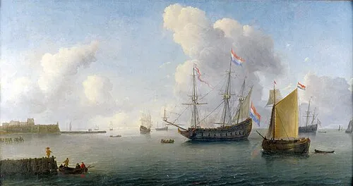 Fort Rammekens Historic site, Gemeente Vlissingen15 km NE
-
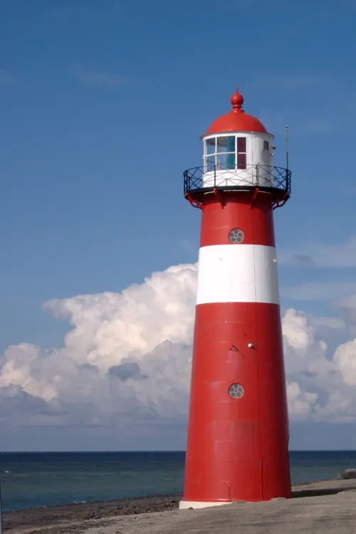 Noorderhoofd Landmark, Veere Municipality19 km N
-
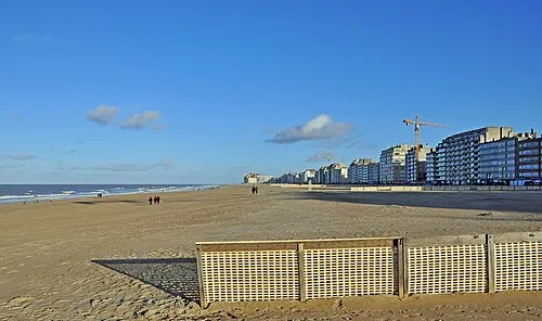 Albertstrand Beach, Knokke-Heist14 km W
-
Soelekerkplaat Mountain, Veere Municipality24 km NE
-
Knokke-Strand Beach, Knokke-Heist13 km W
-
Molenkreek River, East Flanders11 km SE
Sources & licences
Data last updated: · 2 independent sources