- Elevation
- 884 m
- above sea level
- Local time
- UTC+03:00
- Europe/Istanbul · UTC+03:00
- Airports
- COV Çukurova International Airport61 km
- NAV Nevşehir Kapadokya Airport153 km
About Pozantı Bucağı
Pozantı Bucağı is a municipality. Location: Adana Province, Turkey. Elevation: 884 m. The best months to visit are May–June, September–October. The nearest airport is Çukurova International Airport (61 km). Nearby sights include Pozantı Deresi and Akdağ Tepesi.
Climate of Pozantı Bucağı
Best months for sightseeingBest months for sightseeing: May–June, September–October.
This month · November
Outside the best season
Day 15° · Night 4° · Rain 56 mm
Better nearby cities in November
- Tarsus · 56 km south22°
- Adana · 63 km southeast21°
- Mersin · 70 km south22°
- Hottest month
- August (day 31°)
- Coldest month
- January (night -1°)
- Wettest month
- December (84 mm)
- Driest month
- August (6 mm)
Bars: average monthly low and high temperature. Below: precipitation. Monthly averages for 1970–2000 at about 18 km resolution, adjusted for elevation. Highlighted months are mild and relatively dry. Source: WorldClim 2.1 (CC BY 4.0).
Show values as a table
| Month | Jan | Feb | Mar | Apr | May | Jun | Jul | Aug | Sep | Oct | Nov | Dec |
|---|---|---|---|---|---|---|---|---|---|---|---|---|
| Average high (°C) | 7° | 9° | 13° | 18° | 23° | 27° | 31° | 31° | 28° | 22° | 15° | 9° |
| Average low (°C) | -1° | 0° | 3° | 7° | 11° | 14° | 17° | 17° | 13° | 9° | 4° | 1° |
| Precipitation (mm) | 74 | 60 | 69 | 65 | 61 | 30 | 8 | 6 | 14 | 40 | 56 | 84 |
Other places to visit in this season: May June September October
How to get to Pozantı Bucağı
The nearest airport is Çukurova International Airport (COV), 61 km to the south as the crow flies. The nearest large city is Tarsus, 56 km to the south.
Airports
- Çukurova International Airport (COV) Tarsus 61 kmsouth
- Nevşehir Kapadokya Airport (NAV) Nevşehir 153 kmnorth
- Kayseri Erkilet International Airport (ASR) Kayseri 160 kmnorth
Nearby large cities
- Tarsus Population: 350.7K 56 kmsouth
- Adana Population: 1.8M 63 kmsoutheast
- Mersin Population: 537.8K 70 kmsouth
- Heraclea Population: 156.3K 73 kmwest
- Osmaniye Population: 202.8K 129 kmeast
Straight-line distances; road distances are longer. Airport data: OurAirports.
Nearby attractions & nature
Everything nearby-
Pozantı Deresi River, Adana Province2.3 km SE
-
Akdağ Tepesi Mountain, Pozantı6.9 km E
-
Karınca Dağı Mountain, Pozantı8.6 km N
-
Horoz Deresi River, Adana Province9.5 km N
-
Ziyaret Tepesi Mountain, Pozantı9.9 km S
-
Horoz Deresi River, Turkey9.8 km N
-
Elmali Gorge Natural site, Mersin Province10 km SW
-
Kocakarran Deresi River, Adana Province16 km E
Other cities and towns in Adana Province
-
Kamışlı Bucağı Municipality, Adana Province18 km N
-
Karaisalı City, Karaisalı25 km SE
-
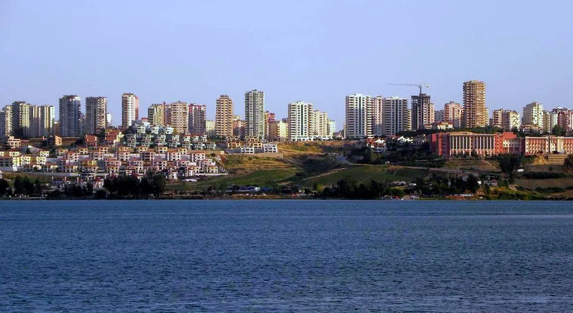 Adana City, Adana Province63 km SE
-
Karaisalı Bucağı Municipality, Adana Province25 km SE
-
Kireçocağı Town, Çukurova52 km SE
-
Şambayadı Town, Çukurova51 km SE
Sources & licences
Data last updated: