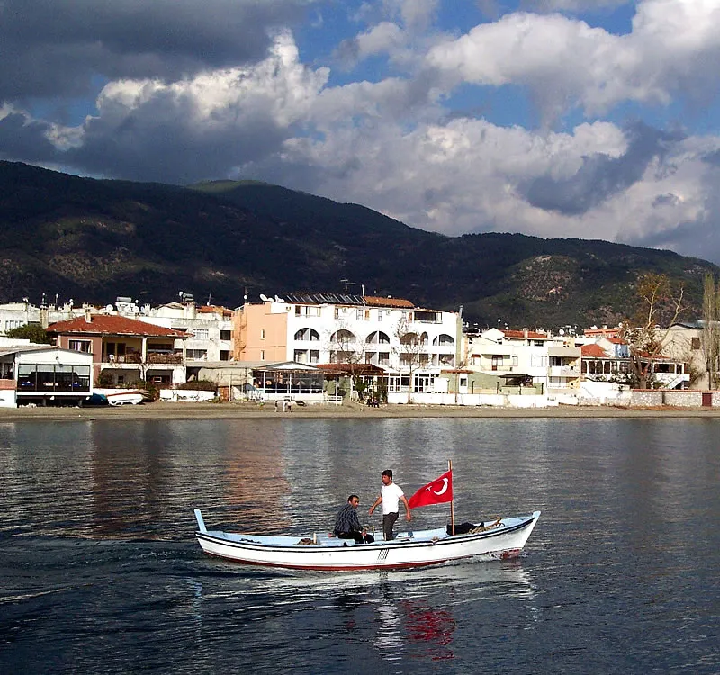
- Population
- 13,800
- 13.8K
- Elevation
- 120 m
- above sea level
- Local time
- UTC+03:00
- Europe/Istanbul · UTC+03:00
- Airports
- EDO Balıkesir Koca Seyit Airport24 km
- MJT Mytilene International Airport59 km
About Altınoluk
Altınoluk is a town. Location: Edremit İlçesi, Balıkesir Province. Population: 13,800. Elevation: 120 m.
Altınoluk, formerly Papazlık, is a summer resort and neighbourhood of the municipality and district of Edremit, Balıkesir Province, Turkey. Its population is 7,004 (2022). Before the 2013 reorganisation, it was a town (belde). It is located 25 km (16 mi) west of Edremit, at the northern coast of Edremit Gulf and on Mount Kazdağı hills. The ancient city Antandrus, Kazdağı National Park and Şahindere Canyon are visitor attractions around Altınoluk.
Source: Wikipedia · CC BY-SA 4.0
Climate of Altınoluk
Best months for sightseeingBest months for sightseeing: May, September–October.
This month · November
Outside the best season
Day 16° · Night 9° · Rain 95 mm
Better nearby cities in November
- Aydin · 215 km southeast19°
- Hottest month
- July (day 30°)
- Coldest month
- January (night 4°)
- Wettest month
- December (133 mm)
- Driest month
- August (11 mm)
Bars: average monthly low and high temperature. Below: precipitation. Monthly averages for 1970–2000 at about 18 km resolution, adjusted for elevation. Highlighted months are mild and relatively dry. Source: WorldClim 2.1 (CC BY 4.0).
Show values as a table
| Month | Jan | Feb | Mar | Apr | May | Jun | Jul | Aug | Sep | Oct | Nov | Dec |
|---|---|---|---|---|---|---|---|---|---|---|---|---|
| Average high (°C) | 11° | 11° | 14° | 18° | 23° | 28° | 30° | 30° | 27° | 21° | 16° | 12° |
| Average low (°C) | 4° | 4° | 6° | 10° | 14° | 18° | 20° | 20° | 17° | 13° | 9° | 6° |
| Precipitation (mm) | 108 | 92 | 76 | 60 | 44 | 23 | 12 | 11 | 23 | 41 | 95 | 133 |
How to get to Altınoluk
The nearest airport is Balıkesir Koca Seyit Airport (EDO), 24 km to the east as the crow flies. The nearest large city is Çanakkale, 70 km to the northwest.
Airports
- Balıkesir Koca Seyit Airport (EDO) Edremit 24 kmeast
- Mytilene International Airport (MJT) Mytilene 59 kmsouth
- Çanakkale Airport (CKZ) Çanakkale 67 kmnorthwest
Nearby large cities
- Çanakkale Population: 143.6K 70 kmnorthwest
- Balıkesir Population: 238.2K 99 kmeast
- Manisa Population: 244K 123 kmsoutheast
- Çiğli Population: 214.1K 124 kmsouth
- Cordaleo Population: 339.6K 129 kmsouth
Straight-line distances; road distances are longer. Airport data: OurAirports.
Nearby attractions & nature
Everything nearby-
Koca Dere River, Balıkesir Province1.9 km SE
-
Kazdağı Milli Parkı Natural site, Edremit İlçesi6.6 km N
-
Yüksek Tepe Mountain, Edremit İlçesi11 km NE
-
Mıhlı Dere River, Balıkesir Province7.5 km SW
-
Sakizli Tepe Mountain, Ayvacık İlçesi9.8 km W
-
Manastır Çayı River, Balıkesir Province9 km E
-
Kaz Dağı Mountain, Edremit İlçesi16 km NE
-
Kara Tepe Mountain, Gömeç İlçesi18 km S
Sources & licences
Data last updated: · 2 independent sources