- Elevation
- 761 m
- above sea level
- Local time
- UTC+03:00
- Europe/Istanbul · UTC+03:00
- Airports
- LTK Latakia International Airport55 km
- HTY Hatay Airport56 km
About Deve Dağı
Deve Dağı is a mountain. Location: Yayladağı İlçesi, Hatay Province. Elevation: 761 m. The best months to visit are May–June, October. The nearest airport is Latakia International Airport (55 km). Nearby sights include Gora Maresh and Yayla Dağ.
Climate of Deve Dağı
Best months for sightseeingBest months for sightseeing: May–June, October.
This month · November
Outside the best season
Day 17° · Night 7° · Rain 99 mm
Better nearby cities in November
- Samandağ · 27 km northwest21°
- Antakya · 37 km north21°
- Arsuz · 64 km north21°
- Hottest month
- August (day 30°)
- Coldest month
- January (night 2°)
- Wettest month
- December (226 mm)
- Driest month
- August (5 mm)
Bars: average monthly low and high temperature. Below: precipitation. Monthly averages for 1970–2000 at about 18 km resolution, adjusted for elevation. Highlighted months are mild and relatively dry. Source: WorldClim 2.1 (CC BY 4.0).
Show values as a table
| Month | Jan | Feb | Mar | Apr | May | Jun | Jul | Aug | Sep | Oct | Nov | Dec |
|---|---|---|---|---|---|---|---|---|---|---|---|---|
| Average high (°C) | 9° | 11° | 14° | 19° | 23° | 27° | 29° | 30° | 28° | 24° | 17° | 11° |
| Average low (°C) | 2° | 3° | 5° | 10° | 13° | 17° | 19° | 20° | 17° | 13° | 7° | 4° |
| Precipitation (mm) | 181 | 168 | 145 | 86 | 43 | 14 | 9 | 5 | 25 | 63 | 99 | 226 |
How to get to Deve Dağı
The nearest airport is Latakia International Airport (LTK), 55 km to the south as the crow flies. For international flights: Aleppo International Airport (ALP) (104 km). The nearest large city is Samandağ, 27 km to the northwest.
Airports
- Latakia International Airport (LTK) Latakia 55 kmsouth
- Hatay Airport (HTY) Antakya 56 kmnorth
- Aleppo International Airport (ALP) Aleppo 104 kmeast
Nearby large cities
- Samandağ Population: 123.4K 27 kmnorthwest
- Antakya Population: 399K 37 kmnorth
- Arsuz Population: 109.6K 64 kmnorth
- İskenderun Population: 251.7K 79 kmnorth
- Kilis Population: 111.6K 128 kmnortheast
Straight-line distances; road distances are longer. Airport data: OurAirports.
Nearest towns and villages
-
Kazanpınar Village, Yayladağı İlçesi0.7 km W
-
Kazanpınar Village, Yayladağı İlçesi0.8 km SW
-
Yukarı Pulluyazı Village, Yayladağı İlçesi0.9 km E
-
Arpalı Village, Yayladağı İlçesi1.2 km S
-
Kızılçat Village, Yayladağı İlçesi1.7 km SW
-
Aşağı Pulluyazı Village, Yayladağı İlçesi2.1 km SE
Nearby attractions & nature
Everything nearby-
Gora Maresh Mountain, Yayladağı İlçesi3.8 km S
-
Yayla Dağ Mountain, Yayladağı İlçesi4.9 km NW
-
Nakhr-Kladussi River, Hatay Province3.7 km NE
-
Kale Dere River, Hatay Province5.3 km S
-
Gora Dzhebel’-Ziara Mountain, Yayladağı İlçesi7.8 km NE
-
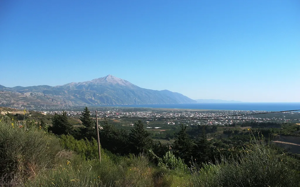 Cebeli Akra Mountain, Yayladağı İlçesi18 km NW
-
Nakhr-Yamadiya River, Hatay Province7.9 km NW
-
Gora Dzhebel’-Chumerly Mountain, Yayladağı İlçesi12 km N
Sources & licences
Data last updated: · 2 independent sources