Altımermer
Located in Fatih, Istanbul Coordinates: 41°00′35″ N 28°56′07″ E
- Elevation
- 53 m
- above sea level
- Local time
- UTC+03:00
- Europe/Istanbul · UTC+03:00
About Altımermer
Altımermer is a neighbourhood. Location: Fatih, Istanbul.
Altımermer (originally Greek: Exi Mármara) is a quarter located in the European part of Istanbul, Turkey. It is located in the western part of the district of Fatih (the walled city). Although it is difficult to define exactly its boundary, Altımermer lies between the neighborhoods (mahalleler) of Kocamustafapaşa and Seyyid Ömer. The main axis of the quarter, Altımermer Caddesi, stretches between the neighborhoods of Kocamustafapaşa and Sayyidina Umar.
Read more on Wikipedia Text: Wikipedia contributors · CC BY-SA 4.0 · shortened
In comparison
- Nearest larger town: Kocamustafapaşa, 1 km S
- 108 sights and natural places within 10 km Hagios Mokios / St. Mocius Church and Monastery, Saint George of Samatya / Surp Kevork / Sulu Manastır / olim Μονὴ τῆς Θεοτòκου τῆς Περιβλὲπτου / Theotokos Peribleptos
Nearby attractions & nature
Everything nearby-
Hagios Mokios / St. Mocius Church and Monastery Historic site, Fatih0.3 km W
-
Laleli mosque Attraction, Fatih1.8 km E
-
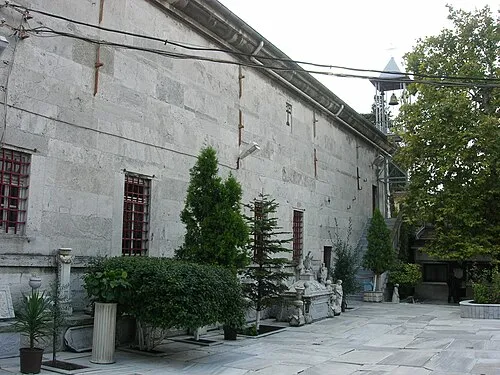 Church of Saint Mary of the Spring Attraction, Zeytinburnu1.7 km W
-
Saint George of Samatya / Surp Kevork / Sulu Manastır / olim Μονὴ τῆς Θεοτòκου τῆς Περιβλὲπτου / Theotokos Peribleptos Attraction, Fatih0.9 km S
-
Hagios Menas / Ayios Minas Kilisesi Attraction, Fatih1 km S
-
Hagios Mamas Attraction, Fatih1.4 km SW
Sources & licences
Data last updated: · 2 independent sources