- Local time
- UTC+03:00
- Europe/Istanbul · UTC+03:00
- Elevation
- 28 m
- above sea level
- Airports
- SAW Istanbul Sabiha Gökçen International Airport34 km
- IST İstanbul Airport35 km
About Hagios Menas / Ayios Minas Kilisesi
Hagios Menas / Ayios Minas Kilisesi is a tourist attraction. Location: Fatih, Istanbul. The best months to visit are May–June, September–October. The nearest airport is Istanbul Sabiha Gökçen International Airport (34 km). Nearby sights include Saint George of Samatya / Surp Kevork / Sulu Manastır / olim Μονὴ τῆς Θεοτòκου τῆς Περιβλὲπτου / Theotokos Peribleptos and Hagios Mamas.
Photos of Hagios Menas / Ayios Minas Kilisesi
-
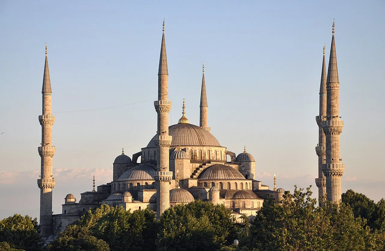
Blue Mosque Moonik · CC BY-SA 3.0 -
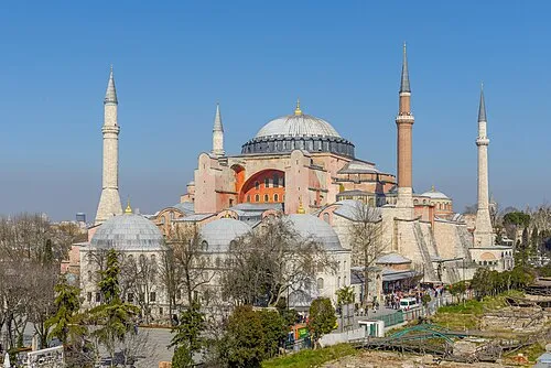
Hagia Sophia Arild Vågen · CC BY-SA 3.0 -
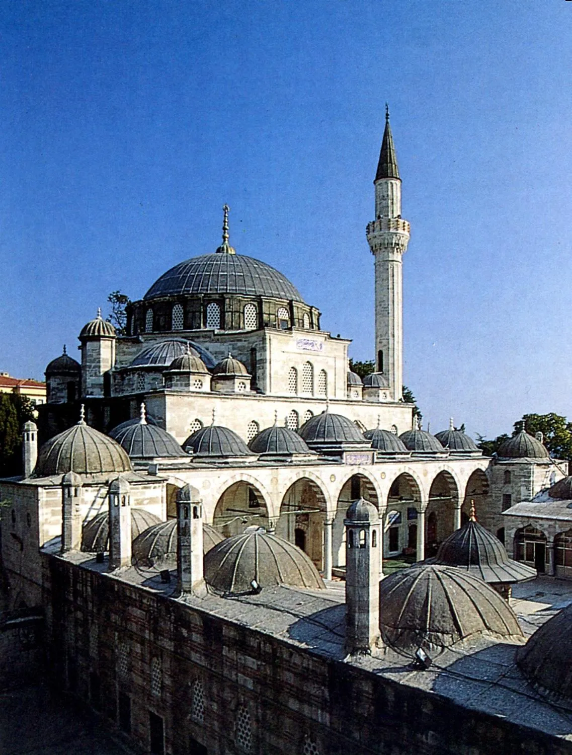
Sokollu Mehmet Pasha Mosque MChew · CC BY-SA 3.0 -
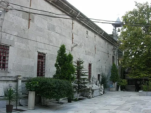
Church of Saint Mary of the Spring Alessandro57 · CC BY 3.0 -
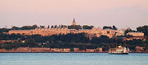
Topkapı Palace Bjørn Christian Tørrissen · CC BY-SA 3.0


Climate of Hagios Menas / Ayios Minas Kilisesi
Best months for sightseeingBest months for sightseeing: May–June, September–October.
This month · November
Outside the best season
Day 15° · Night 8° · Rain 89 mm
Better nearby cities in November
- Aydin · 363 km south19°
- Hottest month
- July (day 29°)
- Coldest month
- February (night 3°)
- Wettest month
- December (113 mm)
- Driest month
- July (25 mm)
Bars: average monthly low and high temperature. Below: precipitation. Monthly averages for 1970–2000 at about 18 km resolution, adjusted for elevation. Highlighted months are mild and relatively dry. Source: WorldClim 2.1 (CC BY 4.0).
Show values as a table
| Month | Jan | Feb | Mar | Apr | May | Jun | Jul | Aug | Sep | Oct | Nov | Dec |
|---|---|---|---|---|---|---|---|---|---|---|---|---|
| Average high (°C) | 9° | 9° | 12° | 17° | 22° | 26° | 29° | 28° | 25° | 20° | 15° | 11° |
| Average low (°C) | 3° | 3° | 4° | 8° | 12° | 17° | 19° | 19° | 16° | 12° | 8° | 5° |
| Precipitation (mm) | 95 | 64 | 64 | 47 | 38 | 31 | 25 | 35 | 42 | 75 | 89 | 113 |
Other places to visit in this season: May June September October
How to get to Hagios Menas / Ayios Minas Kilisesi
The nearest airport is Istanbul Sabiha Gökçen International Airport (SAW), 34 km to the east as the crow flies. The nearest large city is Istanbul, 2 km to the northeast.
Airports
- Istanbul Sabiha Gökçen International Airport (SAW) Pendik, Istanbul 34 kmeast
- İstanbul Airport (IST) Istanbul 35 kmnorthwest
- Tekirdağ Çorlu Airport (TEQ) Çorlu 86 kmwest
Nearby large cities
- Istanbul Population: 15.7M 2 kmnortheast
- Zeytinburnu Population: 280.9K 2 kmwest
- Fatih Population: 356K 3 kmnorth
- Bahçelievler Population: 576.8K 6 kmwest
- Esenler Population: 520.2K 7 kmnorthwest
Straight-line distances; road distances are longer. Airport data: OurAirports.
Day trips from Hagios Menas / Ayios Minas Kilisesi
Within 100 km: 158 historic and cultural sites, 162 natural sites, 239 lakes, rivers and coasts.
0–25 km167 places
- Andirovitha Island Island 24 kmSE
- Pita Island Island 18 kmSE
- Princes Islands Island 16 kmSE
- Proti Island Island 14 kmSE
25–60 km158 places
- Karaburun Plajı Beach 42 kmNW
- Karaburun Sahili Plaj Beach 44 kmNW
- Yeniköy Plajı Beach 40 kmNW
- Kara Burun Plaji Beach 43 kmNW
60–100 km234 places
- Yeniköy Plaj Beach 82 kmSW
- Sedef Adası Island 92 kmSW
- Mutlu Adası Island 97 kmS
- Mola Adaları Island 93 kmSW
Straight-line distances.
Nearby attractions & nature
Everything nearby-
Saint George of Samatya / Surp Kevork / Sulu Manastır / olim Μονὴ τῆς Θεοτòκου τῆς Περιβλὲπτου / Theotokos Peribleptos Attraction, Fatih0.2 km NE
-
Hagios Mamas Attraction, Fatih0.5 km W
-
Church of Saint Mary of the Spring Attraction, Zeytinburnu1.5 km NW
-
Monastery of Saint John the Forerunner at Stoudios Attraction, Fatih0.6 km SW
-
Chruch of Hagios Diomedes of Jerusalem Historic site, Fatih0.7 km SW
-
Laleli mosque Attraction, Fatih2.3 km NE
-
Hagios Mokios / St. Mocius Church and Monastery Historic site, Fatih1.1 km N
-
Yedikule Fortress Historic site, Fatih1.1 km SW
Nearest towns and villages
-
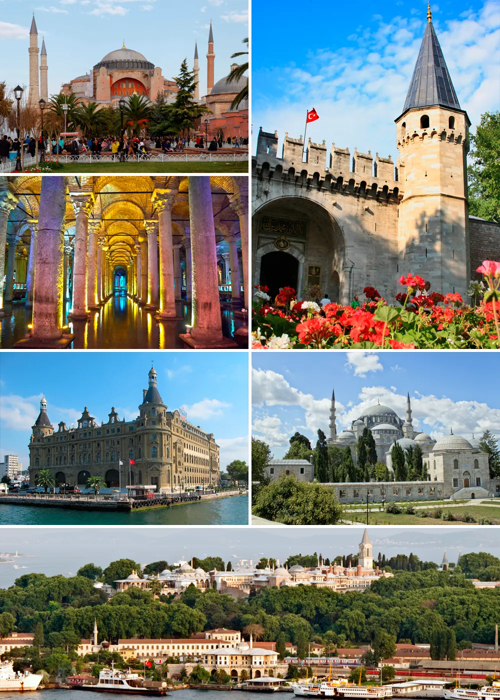 Istanbul City, Istanbul2.1 km NE
-
 Kocamustafapaşa Neighbourhood, Fatih0.2 km NE
-
 Mevlanakapı Neighbourhood, Fatih1.6 km N
-
 Aksaray Neighbourhood, Fatih1.8 km NE
More sights in Fatih
-
Sokollu Mehmet Pasha Mosque Attraction, Fatih3.4 km E
-
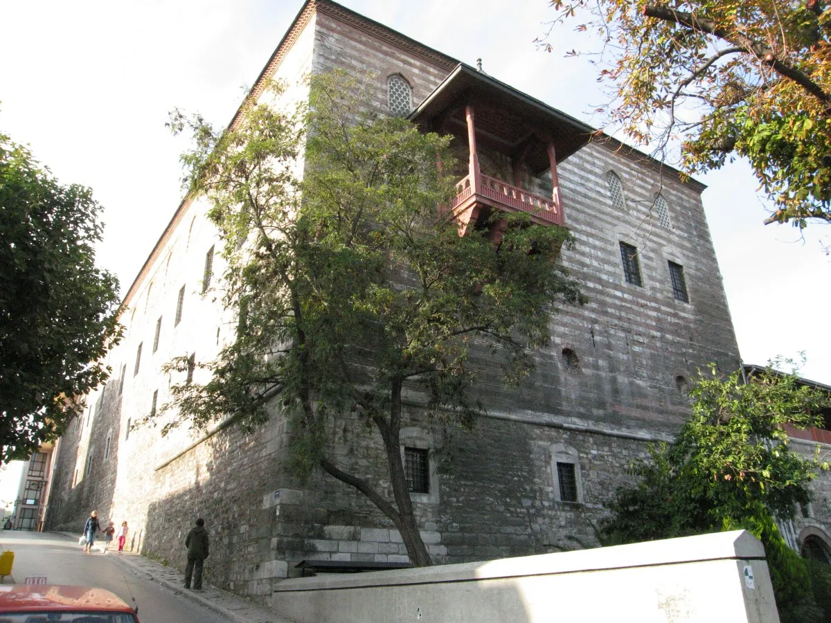 Turkish and Islamic Arts Museum Museum, Fatih3.6 km E
-
Golden Gate (Constantinople) Historic site, Fatih1.1 km SW
-
Fatih mosque Attraction, Fatih2.6 km NE
-
(former) Eastern Orthodox Church of the Holy Apostles Attraction, Fatih2.6 km NE
-
Aqueduct of Valens Historic site, Fatih2.6 km NE
Sources & licences
Data last updated: