Elbistan
Located in Elbistan İlçesi, Kahramanmaraş Province Coordinates: 38°12′21″ N 37°11′54″ E
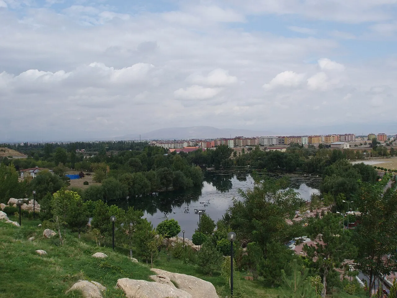
- Population
- 80,456
- 80.5K
- Elevation
- 1,139 m
- above sea level
- Local time
- UTC+03:00
- Europe/Istanbul · UTC+03:00
- Airports
- KCM Kahramanmaraş Airport77 km
- MLX Malatya Erhaç Airport82 km
About Elbistan
Elbistan is a city. Location: Elbistan İlçesi, Kahramanmaraş Province. Population: 80,456. Elevation: 1,139 m.
Elbistan (Old Anatolian Turkish: Ablasta, Ablastayn, Ablastin, Ablistan; Arabic: البستان (Al-Bustan)) is a municipality and district of Kahramanmaraş Province, Turkey. Its area is 2,201 km2, and its population is 141,307 (2022).
Source: Wikipedia · CC BY-SA 4.0
Photos of Elbistan
-

kai_schmerer · CC BY 2.0 -

Hüseyin Öcal · CC BY 3.0 -

Hüseyin Öcal · CC BY 3.0 -

Ahmet Colakoglu · CC BY-SA 3.0 -

Mahir Karakurt · CC BY 3.0


Climate of Elbistan
Best months for sightseeingBest months for sightseeing: May–June, September–October.
This month · November
Outside the best season
Day 13° · Night 0° · Rain 52 mm
Better nearby cities in November
- Osmaniye · 151 km southwest21°
- Suruç · 174 km southeast20°
- İskenderun · 201 km southwest22°
- Hottest month
- August (day 32°)
- Coldest month
- January (night -7°)
- Wettest month
- March (60 mm)
- Driest month
- July (5 mm)
Bars: average monthly low and high temperature. Below: precipitation. Monthly averages for 1970–2000 at about 18 km resolution, adjusted for elevation. Highlighted months are mild and relatively dry. Source: WorldClim 2.1 (CC BY 4.0).
Show values as a table
| Month | Jan | Feb | Mar | Apr | May | Jun | Jul | Aug | Sep | Oct | Nov | Dec |
|---|---|---|---|---|---|---|---|---|---|---|---|---|
| Average high (°C) | 3° | 5° | 11° | 17° | 22° | 27° | 32° | 32° | 28° | 21° | 13° | 6° |
| Average low (°C) | -7° | -5° | -1° | 4° | 7° | 10° | 12° | 12° | 8° | 4° | 0° | -3° |
| Precipitation (mm) | 52 | 44 | 60 | 56 | 48 | 20 | 5 | 5 | 10 | 38 | 52 | 56 |
Other places to visit in this season: May June September October
How to get to Elbistan
The nearest airport is Kahramanmaraş Airport (KCM), 77 km to the south as the crow flies. The nearest large city is Kahramanmaraş, 73 km to the south.
Airports
- Kahramanmaraş Airport (KCM) Kahramanmaraş 77 kmsouth
- Malatya Erhaç Airport (MLX) Malatya 82 kmeast
- Adıyaman Airport (ADF) Adıyaman 123 kmsoutheast
Nearby large cities
- Kahramanmaraş Population: 385K 73 kmsouth
- Malatya Population: 750.5K 99 kmeast
- Adıyaman Population: 290.9K 107 kmsoutheast
- Gaziantep Population: 2.2M 128 kmsouth
- Osmaniye Population: 202.8K 151 kmsouthwest
Straight-line distances; road distances are longer. Airport data: OurAirports.
Day trips from Elbistan
Within 100 km: 7 historic and cultural sites, 319 natural sites, 190 lakes, rivers and coasts.
0–25 km30 places
- Kızıl Dağ Mountain 19 kmN
- Karaoluktepeleri Mountain 24 kmSE
- Atlas Dağı Mountain 23 kmW
- Akziyaret Tepesi Mountain 16 kmSE
25–60 km158 places
- Azaplı Göl Lake 59 kmSE
- Yelekçe Tepesi Mountain 38 kmE
- Uzunöz Tepesi Mountain 60 kmN
- Ufacıklar Tepesi Mountain 30 kmW
60–100 km328 places
- Sazlıca Gölü Lake 93 kmE
- İnekli Göl Lake 62 kmSE
- Paşali Barajı Göleti Lake 95 kmNW
- Gölbaşı Gölü Lake 60 kmSE
Straight-line distances.
Elbistan and similar cities
Side by side with cities of similar size in the same country: population, elevation and climate.
| Measure | Elbistan | Doğubeyazıt | Bartın | Fatsa |
|---|---|---|---|---|
| Population | 80.5K | 81.1K | 81.7K | 82.2K |
| Elevation | 1,139 m | 1,592 m | 28 m | 2 m |
| Summer day (hottest month) | 32° | 29° | 29° | 25° |
| Winter night (coldest month) | -7° | -9° | 1° | 2° |
| Annual rainfall | 446 mm | 344 mm | 795 mm | 862 mm |
| Best months | May–Jun, Sep–Oct | May–Jun, Sep | May–Jun, Sep–Oct | Jun–Sep |
| Distance | — | 616 km | 563 km | 314 km |
Climate values are 1970–2000 monthly averages; straight-line distance.
Nearby attractions & nature
Everything nearby-
Söğütlü Çayı River, Kahramanmaraş Province1.8 km W
-
Şar Dağı Mountain, Elbistan İlçesi5.7 km SW
-
Sarsap Dere River, Kahramanmaraş Province5.8 km W
-
Kevkirli Deresi River, Kahramanmaraş Province6 km E
-
Medetsiz Dağı Mountain, Ekinözü İlçesi10 km S
-
Lapara Historic site, Elbistan İlçesi9.6 km W
-
Kabaktepeleri Mountain, Kahramanmaraş Province9.9 km S
-
Hurman Çayı River, Kahramanmaraş Province9.3 km W
Sources & licences
Data last updated: · 2 independent sources