- Population
- 31,500
- 31.5K
- Elevation
- 97 m
- above sea level
- Local time
- UTC+00:00
- Europe/London · UTC+00:00
- Airports
- MAN Manchester Airport20 km
- LPL Liverpool John Lennon Airport44 km
About Prestwich
Prestwich is a town. Location: Borough of Bury, England. Population: 31,500. Elevation: 97 m.
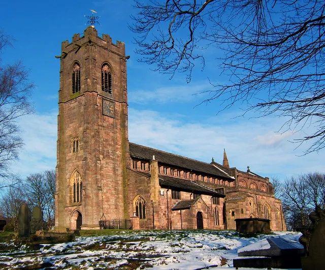
Prestwich ( PREST-witch) is a town in the Metropolitan Borough of Bury, Greater Manchester, England, three miles (five kilometres) north of Manchester, three miles (five kilometres) north of Salford and five miles (eight kilometres) south of Bury. Within the boundaries of the historic county of Lancashire, Prestwich was the seat of the ancient parish of Prestwich-cum-Oldham, centred around the Grade I listed Church of St Mary the Virgin.
Source: Wikipedia · CC BY-SA 4.0
Photos of Prestwich
-

Ian Greig · CC BY-SA 2.0 -

Peter McDermott · CC BY-SA 2.0 -

Kevin Waterhouse · CC BY-SA 2.0 -

Kevin Waterhouse · CC BY-SA 2.0 -

Ian Greig · CC BY-SA 2.0


Climate of Prestwich
Best months for sightseeingBest months for sightseeing: June–August.
This month · November
A wet month
Day 9° · Night 4° · Rain 114 mm
- Hottest month
- July (day 20°)
- Coldest month
- January (night 2°)
- Wettest month
- November (114 mm)
- Driest month
- May (62 mm)
Bars: average monthly low and high temperature. Below: precipitation. Monthly averages for 1970–2000 at about 18 km resolution, adjusted for elevation. Highlighted months are mild and relatively dry. Source: WorldClim 2.1 (CC BY 4.0).
Show values as a table
| Month | Jan | Feb | Mar | Apr | May | Jun | Jul | Aug | Sep | Oct | Nov | Dec |
|---|---|---|---|---|---|---|---|---|---|---|---|---|
| Average high (°C) | 7° | 7° | 9° | 12° | 16° | 18° | 20° | 20° | 17° | 13° | 9° | 7° |
| Average low (°C) | 2° | 2° | 3° | 4° | 7° | 10° | 12° | 12° | 10° | 7° | 4° | 2° |
| Precipitation (mm) | 104 | 71 | 85 | 65 | 62 | 76 | 72 | 90 | 91 | 112 | 114 | 112 |
How to get to Prestwich
The nearest airport is Manchester Airport (MAN), 20 km to the south as the crow flies. The nearest large city is Salford, 5 km to the south.
Airports
- Manchester Airport (MAN) Manchester, Greater Manchester 20 kmsouth
- Liverpool John Lennon Airport (LPL) Liverpool 44 kmsouthwest
- Leeds Bradford Airport (LBA) Leeds, West Yorkshire 55 kmnortheast
Nearby large cities
- Salford Population: 129.8K 5 kmsouth
- Manchester Population: 569K 7 kmsoutheast
- Oldham Population: 237.1K 11 kmeast
- Bolton Population: 141.3K 11 kmnorthwest
- Stockport Population: 139.1K 16 kmsoutheast
Straight-line distances; road distances are longer. Airport data: OurAirports.
Day trips from Prestwich
Within 100 km: 682 historic and cultural sites, 1,245 natural sites, 216 lakes, rivers and coasts.
0–25 km160 places
- Saint George's Island Island 7 kmS
- The Island Island 19 kmNW
- Birch Island Island 24 kmS
- Valehouse Reservoir Lake 23 kmE
25–60 km688 places
- Great Britain Island 55 kmN
- Formby Beach Beach 54 kmW
- Ainsdale Beach Beach 52 kmW
- St Anne's Beach Beach 55 kmNW
60–100 km1,295 places
- High Moor Mountain 94 kmNW
- Thurstaston Beach Beach 61 kmW
- Roanhead Beach Beach 95 kmNW
- The Island Island 89 kmNE
Straight-line distances.
Nearby attractions & nature
Everything nearby-
Heaton Park Mountain, Manchester2 km E
-
Agecroft Hall Historic site, Borough of Bury2.2 km SW
-
Heaton Park BT Tower Landmark, Manchester2 km E
-
Clarke's Hill Mountain, Borough of Bury2.9 km NW
-
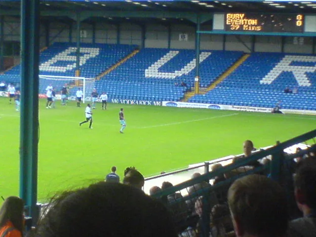 Gigg Lane Landmark, Borough of Bury5.3 km N
-
Radcliffe Tower Landmark, Borough of Bury3.8 km NW
-
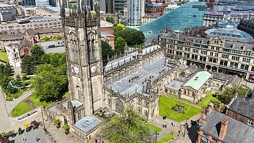 Manchester Cathedral Attraction, Manchester5.9 km SE
-
 Manchester Art Gallery Museum, Manchester6.7 km SE
Other cities and towns in Borough of Bury
-
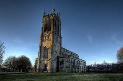 Radcliffe Town, Borough of Bury4.2 km NW
-
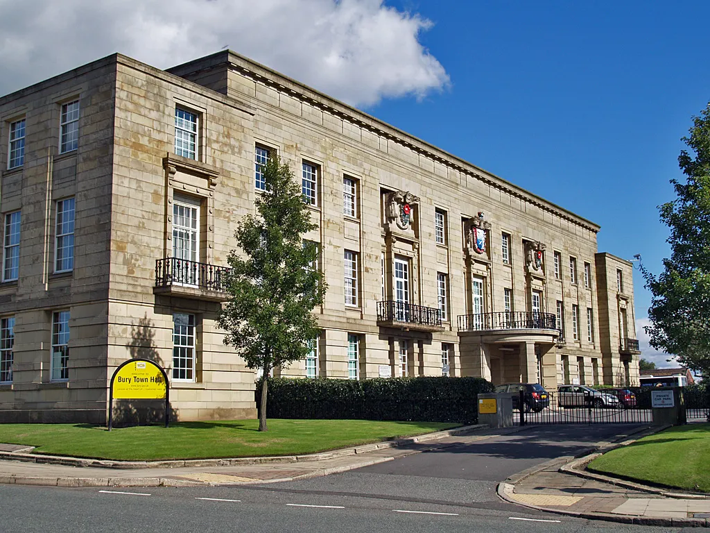 Bury City, Borough of Bury7.5 km N
-
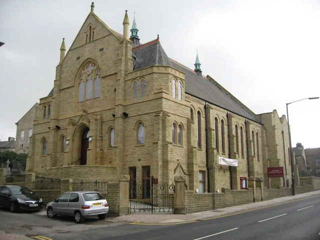 Tottington Town, Borough of Bury9.7 km NW
-
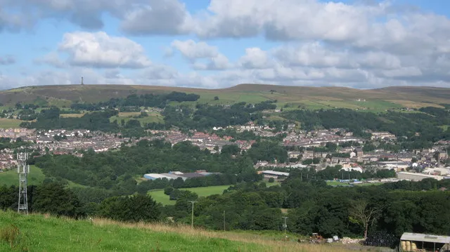 Ramsbottom Town, Borough of Bury13 km N
Sources & licences
Data last updated: · 2 independent sources