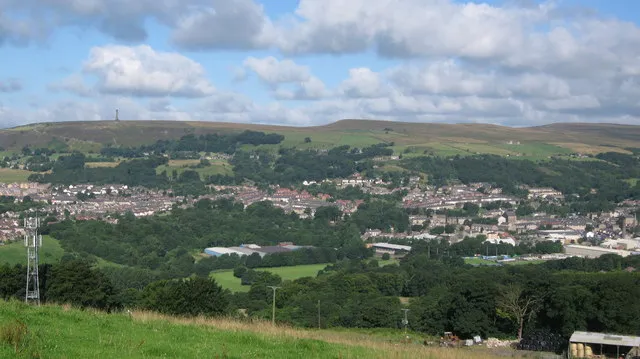
- Population
- 17,067
- 17.1K
- Elevation
- 133 m
- above sea level
- Local time
- UTC+00:00
- Europe/London · UTC+00:00
- Airports
- MAN Manchester Airport33 km
- LBA Leeds Bradford Airport50 km
About Ramsbottom
Ramsbottom is a town. Location: Borough of Bury, England. Population: 17,067. Elevation: 133 m.
Ramsbottom is a market town in the Metropolitan Borough of Bury, Greater Manchester, England. The population at the 2011 census was 17,872. Historically in Lancashire, it lies on the River Irwell in the West Pennine Moors, 3.9 miles (6.3 km) north-west of Bury and 12 miles (19 km) of Manchester. Its Victorian architecture, Pennine landscape and industrial heritage, including the East Lancashire Railway, contribute to heritage tourism in the town.
Source: Wikipedia · CC BY-SA 4.0
Photos of Ramsbottom
-

Bill Boaden · CC BY-SA 2.0 -

philandju · CC BY-SA 2.0 -

Ian Williams · CC BY-SA 3.0 -

thejackrustles · CC BY-SA 2.0 -

thejackrustles · CC BY-SA 2.0


Travel notes for Ramsbottom
From Wikivoyage
Bury (pronounced "Berry") is a town and borough in Greater Manchester in the northwest of England, ten miles north of central Manchester. It’s a former textile-milling town, with a population in 2024 of 199,000.
Understand+
Bury grew rapidly from the 18th century as a textile town, at first for wool but later chiefly for cotton. Sir Robert Peel (1788-1850) was born here to a wealthy textile family, and founded the modern police force and served as British prime minister. The lot of Bury's mill workers was less fortunate, as the 19th-century town became overcrowded, squalid and rife with disease. Still they scratched a living, until the mid 20th century when the cotton industry collapsed, and much of the town became derelict. Historically within Lancashire, in 1974 Bury became part of Greater Manchester, and it’s nowadays primarily a commuter town. The borough also includes the more affluent suburbs of Prestwich and Whitefield (with long-established Jewish populations), Radcliffe, and (the most scenic) Ramsbottom on the edge of the Pennines.
Bury produces and consumes black puddings in industrial quantities, and uses them as missiles at an annual contest in Ramsbottom.
Get in+
See Manchester#Get in for long-distance travel routes. From Manchester Airport (MAN IATA) the tram runs all the way to Bury. Otherwise take the train or bus to Piccadilly then Bus 135 or tram.
By road:
Bury lies at the junction of the A56 and A58. From M60, exit J17 to join the A56 (Manchester Road / Bury New Road). From M66, exit J2 to join A58 Bolton Road.
There's plenty of parking in and around town. Free parking is available for Metrolink users at most tram stops, so day-trippers can park up and ride into town.
By tram:
Bury has no mainline trains, but it’s a terminus of the Metrolink trams green and yellow lines. These run downtown via Whitefield and Prestwich to Manchester Victoria station. The yellow line forks south to Piccadilly station, while the green line crosses city centre westwards out to Old Trafford, Stretford, Sale and Altrincham. Change in city centre for trams to Salford Quays, Media City and Eccles, to Etihad Stadium and Ashton-under-Lyne, to Imperial War Museum and Trafford Centre, to Wythenshawe and the airport, and to East Didsbury.
Trams run every 15 min between 6AM and 11:30PM. See TGM Metrolink website for fare deals, service updates and travel planner. You must buy your ticket before boarding, pay at the stop, contactless accepted.
1 Bury Interchange off Haymarket Street is in Fare Zone 4, so a ride from city centre costs £4.60 single. The same ticket would bring you all the way from the airport, 90 min.
By bus:
Bee Network Bus 135 runs from Manchester Piccadilly to Bury every 10 min, taking an hour via Cheetham and Heaton Park. It runs daily to midnight, with night buses from Shudehill late Th-Sa.
Bus 97 / 98 runs every 15 min from Shudehill via Prestwich.
Bus 471 runs from Bolton every 15 min, taking 30 min, and continues to Heywood and Rochdale.
Source: Wikivoyage · CC BY-SA 4.0 · abridged
Places bordering Ramsbottom
- Bury
Climate of Ramsbottom
Best months for sightseeingBest months for sightseeing: June–August.
This month · November
A wet month
Day 9° · Night 4° · Rain 114 mm
- Hottest month
- July (day 20°)
- Coldest month
- January (night 1°)
- Wettest month
- November (114 mm)
- Driest month
- May (62 mm)
Bars: average monthly low and high temperature. Below: precipitation. Monthly averages for 1970–2000 at about 18 km resolution, adjusted for elevation. Highlighted months are mild and relatively dry. Source: WorldClim 2.1 (CC BY 4.0).
Show values as a table
| Month | Jan | Feb | Mar | Apr | May | Jun | Jul | Aug | Sep | Oct | Nov | Dec |
|---|---|---|---|---|---|---|---|---|---|---|---|---|
| Average high (°C) | 6° | 7° | 9° | 11° | 15° | 18° | 20° | 20° | 17° | 13° | 9° | 7° |
| Average low (°C) | 1° | 1° | 3° | 4° | 7° | 10° | 12° | 12° | 10° | 7° | 4° | 2° |
| Precipitation (mm) | 104 | 71 | 85 | 65 | 62 | 76 | 72 | 90 | 91 | 112 | 114 | 112 |
How to get to Ramsbottom
The nearest airport is Manchester Airport (MAN), 33 km to the south as the crow flies. The nearest large city is Bolton, 11 km to the southwest.
Airports
- Manchester Airport (MAN) Manchester, Greater Manchester 33 kmsouth
- Leeds Bradford Airport (LBA) Leeds, West Yorkshire 50 kmnortheast
- Liverpool John Lennon Airport (LPL) Liverpool 50 kmsouthwest
Nearby large cities
- Bolton Population: 141.3K 11 kmsouthwest
- Blackburn Population: 146.5K 16 kmnorthwest
- Oldham Population: 237.1K 18 kmsoutheast
- Burnley Population: 149.4K 18 kmnorth
- Salford Population: 129.8K 18 kmsouth
Straight-line distances; road distances are longer. Airport data: OurAirports.
Day trips from Ramsbottom
Within 100 km: 671 historic and cultural sites, 1,420 natural sites, 238 lakes, rivers and coasts.
0–25 km160 places
- Saint George's Island Island 20 kmS
- The Island Island 12 kmW
- Pickup Bank Reservoir Lake 9 kmNW
- Hollingworth Lake Lake 15 kmE
25–60 km704 places
- Great Britain Island 44 kmNE
- Formby Beach Beach 52 kmW
- Ainsdale Beach Beach 50 kmW
- St Anne's Beach Beach 49 kmW
60–100 km1,465 places
- High Moor Mountain 83 kmNW
- Thurstaston Beach Beach 65 kmSW
- Roanhead Beach Beach 84 kmNW
- The Island Island 79 kmNE
Straight-line distances.
Nearby attractions & nature
Everything nearby-
Harcles Hill Mountain, Borough of Bury1.6 km W
-
Bull Hill Mountain, Rossendale District3.1 km NW
-
Whittle Pike Mountain, Rossendale District3.9 km NE
-
Higher Hill Mountain, Rossendale District4.5 km E
-
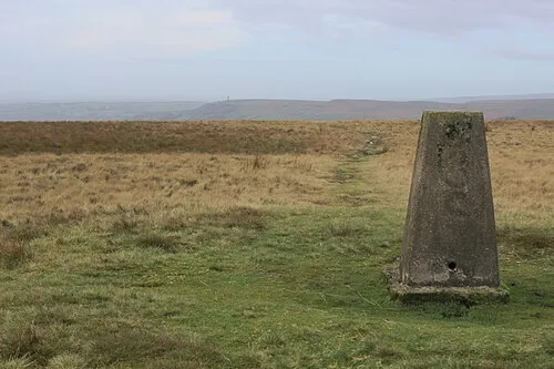 Cowpe Lowe Mountain, Rossendale District4.9 km NE
-
Affetside Mountain, Borough of Bury4.9 km SW
-
Knowle Hill Mountain, Rochdale5 km E
-
Top of Quarlton Mountain, North Turton4.2 km W
Other cities and towns in Borough of Bury
-
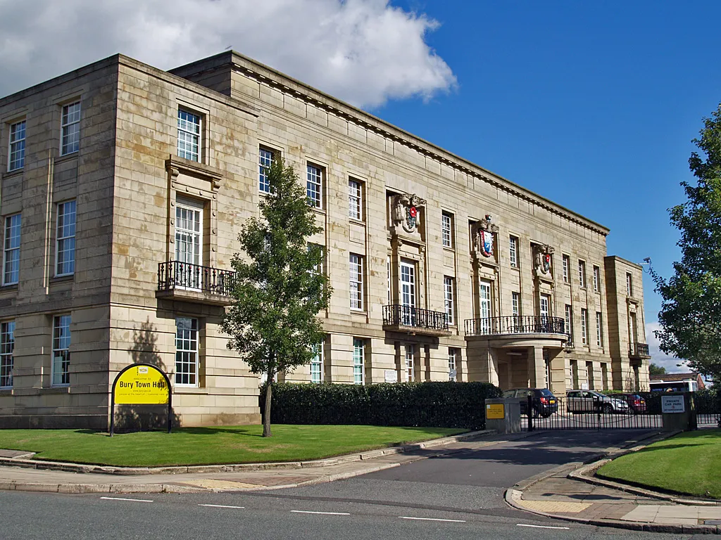 Bury City, Borough of Bury5.4 km S
-
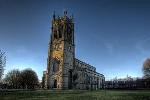 Radcliffe Town, Borough of Bury9.6 km S
-
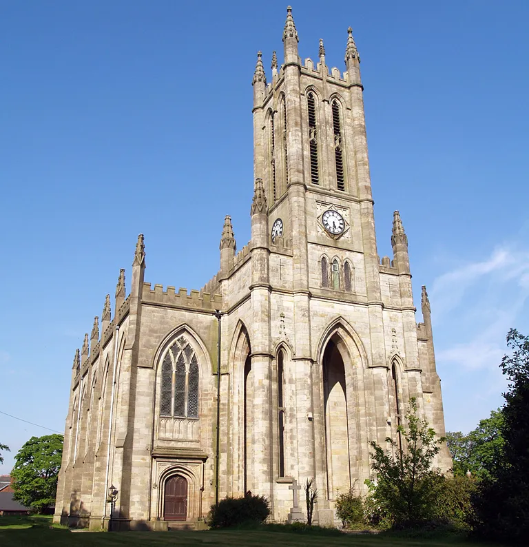 Whitefield Town, Borough of Bury11 km S
-
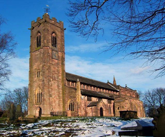 Prestwich Town, Borough of Bury13 km S
Sources & licences
Data last updated: · 2 independent sources