St. Stephen-in-Brannel
Located in Cornwall, England Coordinates: 50°21′09″ N 4°52′43″ W
- Elevation
- 147 m
- above sea level
- Local time
- UTC+00:00
- Europe/London · UTC+00:00
- Places inside
- 31
- listed under St. Stephen-in-Brannel
About St. Stephen-in-Brannel
St. Stephen-in-Brannel is a municipality. Location: Cornwall, England. Elevation: 147 m.
In comparison
- Nearest larger town: Saint Stephen, 2 km SW
- 35 sights and natural places within 10 km St Stephen's Beacon, Goonamarris North Hill
- Listed here: Village: 23, Mountain: 8
Places in St. Stephen-in-Brannel
31 places-
Nanpean Village2.6K
-
Saint Stephen Village2.3K
-
Carloggas Village
-
Carpalla Village
-
Central Treviscoe Village
-
Coombe Village
-
Foxhole Village
-
Goonabarn Village
-
Goonamarris Village
-
Goonamarris North Hill Mountain
-
Goverseth Village
-
Great Longstone Hill Mountain
-
Hendra Village
-
High Street Village
-
Hornick Village
-
Lanjeth Village
-
Little Treviscoe Village
-
Longstone Downs Mountain
-
Meledor Village
-
Rostowrack Downs Mountain
-
Stepaside Village
-
St Stephen's Beacon Mountain
-
Terras Village
-
Trelion Village
-
Treneague Village
-
Trethosa Village
-
Treveiscoe Village
-
Treviscoe Hill Mountain
-
Watch Hill Mountain
-
Whitemoor Village
-
Whitemoor Mountain
Nearby attractions & nature
Everything nearby-
Trelavour Pyramid Mountain, St. Dennis3.1 km N
-
Brewers Hill Pyramid Mountain, St. Dennis3.3 km N
-
Goonamarth Pyramid Mountain, St. Mewan3.5 km E
-
Melbur Mound Mountain, St. Enoder3.7 km W
-
Halwyn Pyramid Mountain, St. Enoder3.7 km NW
-
Carrancarrow Hill Mountain, Treverbyn4.3 km NE
-
Penhale Hill Mountain, St. Enoder4.7 km NW
-
Greensplat Hill Mountain, Treverbyn4.7 km NE
Other cities and towns in Cornwall
-
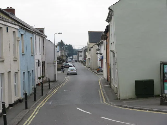 Saint Blazey Town, St. Blaise11 km E
-
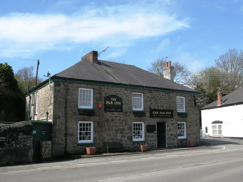 Par Town, Tywardreath and Par13 km E
-
St Austell Town, St. Austell7.5 km E
-
Treverbyn Municipality, Cornwall6.8 km E
-
Ladock Municipality, Cornwall6.3 km W
-
Roche Municipality, Cornwall7.2 km NE
Sources & licences
Data last updated: