Rutleigh Ball Hill
Located in Northlew, West Devon District Coordinates: 50°47′46″ N 4°06′48″ W
- Elevation
- 143 m
- above sea level
- Local time
- UTC+00:00
- Europe/London · UTC+00:00
- Airports
- EXT Exeter International Airport50 km
- NQY Cornwall Airport Newquay74 km
About Rutleigh Ball Hill
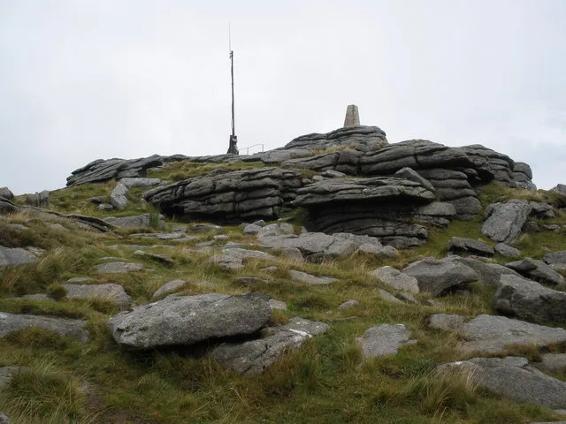
Rutleigh Ball Hill is a mountain. Location: Northlew, West Devon District. Elevation: 143 m. The best months to visit are June–September. The nearest airport is Exeter International Airport (50 km). Nearby sights include Beacon's Down and Hatherleigh Moor.
Climate of Rutleigh Ball Hill
Best months for sightseeingBest months for sightseeing: June–September.
This month · November
A wet month
Day 11° · Night 5° · Rain 132 mm
- Hottest month
- July (day 20°)
- Coldest month
- February (night 2°)
- Wettest month
- December (138 mm)
- Driest month
- July (69 mm)
Bars: average monthly low and high temperature. Below: precipitation. Monthly averages for 1970–2000 at about 18 km resolution, adjusted for elevation. Highlighted months are mild and relatively dry. Source: WorldClim 2.1 (CC BY 4.0).
Show values as a table
| Month | Jan | Feb | Mar | Apr | May | Jun | Jul | Aug | Sep | Oct | Nov | Dec |
|---|---|---|---|---|---|---|---|---|---|---|---|---|
| Average high (°C) | 8° | 8° | 10° | 12° | 15° | 18° | 20° | 19° | 17° | 14° | 11° | 9° |
| Average low (°C) | 3° | 2° | 3° | 4° | 7° | 10° | 12° | 12° | 10° | 8° | 5° | 4° |
| Precipitation (mm) | 134 | 98 | 93 | 74 | 70 | 72 | 69 | 83 | 95 | 119 | 132 | 138 |
Other places to visit in this season: June July August September
How to get to Rutleigh Ball Hill
The nearest airport is Exeter International Airport (EXT), 50 km to the east as the crow flies. For international flights: Cardiff International Airport (CWL) (86 km). The nearest large city is Exeter, 42 km to the east.
Airports
- Exeter International Airport (EXT) Exeter, Devon 50 kmeast
- Cornwall Airport Newquay (NQY) Newquay 74 kmsouthwest
- Cardiff International Airport (CWL) Cardiff 86 kmnortheast
Nearby large cities
- Exeter Population: 130.7K 42 kmeast
- Plymouth Population: 260.2K 47 kmsouth
- Swansea Population: 300.4K 93 kmnorth
- Cardiff Population: 372.1K 100 kmnortheast
- Newport Population: 161.5K 118 kmnortheast
Straight-line distances; road distances are longer. Airport data: OurAirports.
Nearest towns and villages
-
Hatherleigh Village, Hatherleigh4 km NE
-
Highampton Village, West Devon District3.1 km NW
-
Northlew Village, Northlew2.7 km S
-
Beaworthy Village, Beaworthy5.6 km SW
-
Odham Village, Highampton3.7 km W
-
Hatherleigh Village, West Devon District4.2 km NE
Nearby attractions & nature
Everything nearby-
Beacon's Down Mountain, Highampton3.8 km NW
-
Hatherleigh Moor Mountain, Hatherleigh4.8 km NE
-
Broadbury Mountain, Bratton Clovelly6.9 km S
-
River Lew River, England5.3 km NE
-
Nethercott Hill Mountain, Iddesleigh7.5 km NE
-
Highweek Hill Mountain, Black Torrington7.7 km NW
-
Stockleigh Hill Mountain, Meeth8.2 km NE
-
 Yes Tor Mountain, Okehampton Hamlets14 km SE
Sources & licences
Data last updated: