Basildon District
Located in Essex, England Coordinates: 51°35′24″ N 0°28′25″ E
- Population
- 183,378
- 183.4K
- Elevation
- 34 m
- above sea level
- Local time
- UTC+00:00
- Europe/London · UTC+00:00
- Places inside
- 31
- listed under Basildon District
About Basildon District
Basildon District is a municipality. Location: Essex, England. Population: 183,378. Elevation: 34 m.
In comparison
- No. 2 of 12 places in Essex by population
- Nearest larger town: Southend-on-Sea, 18 km E
- 10 sights and natural places within 10 km Bell Hill, Langdon Hill
- Listed here: Neighbourhood: 15, Village: 12, Town: 2, City: 1
Places in Basildon District
31 places-
Basildon City144.9K
-
Laindon Village37.2K
-
Wickford Town27.5K
-
Pitsea Town25K
-
Barstable Neighbourhood
-
Billericay Village
-
Bowers Gifford and Benfleet Village
-
Burnt Mills Neighbourhood
-
Chalvedon Neighbourhood
-
Cranes Neighbourhood
-
Eversley Neighbourhood
-
Felmore Neighbourhood
-
Fryerns Neighbourhood
-
Ghyllgrove Neighbourhood
-
Great Berry Neighbourhood
-
Great Burstead and South Green Village
-
Kingswood Neighbourhood
-
Langdon Hill Mountain
-
Langdon Hills Village
-
Lee Chapel North Neighbourhood
-
Lee Chapel South Neighbourhood
-
Little Burstead Village
-
Nevendon Village
-
Noak Bridge Village
-
Pipps Hill Neighbourhood
-
Ramsden Bellhouse Village
-
Ramsden Crays Village
-
Shotgate Village
-
Southfields Neighbourhood
-
Steeple View Neighbourhood
-
Vange Village
Nearby attractions & nature
Everything nearby-
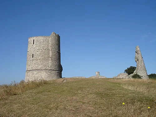 Hadleigh Castle Historic site, Castle Point District11 km SE
-
Thundersley Hill Mountain, Castle Point District8.1 km E
-
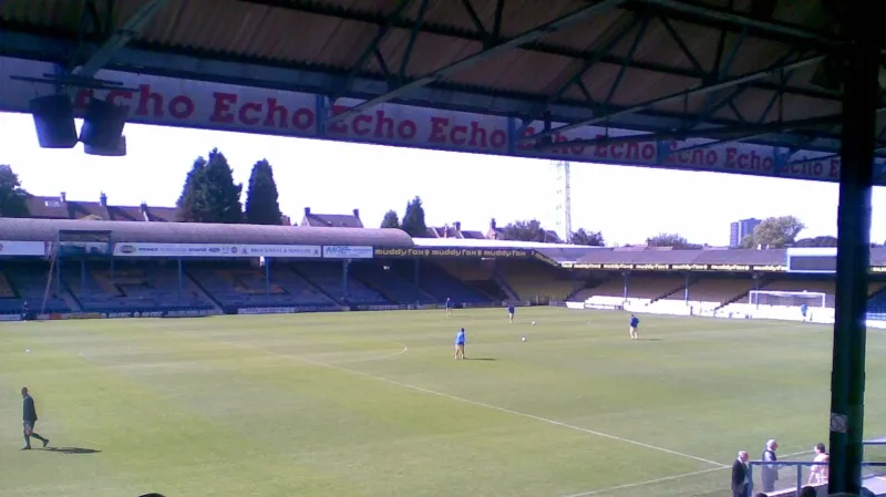 Roots Hall Landmark, Southend-on-Sea16 km E
-
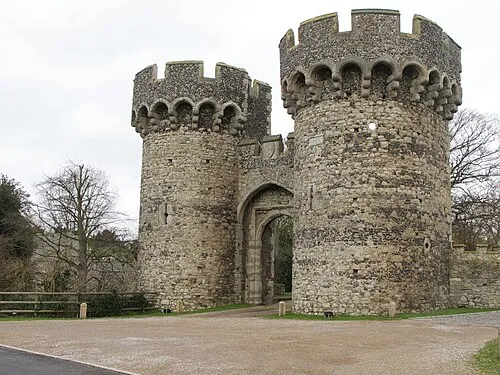 Cooling Castle Historic site, Cooling15 km S
-
Mucking Flat Lighthouse (historical) Landmark, Thurrock9.7 km S
-
Rayleigh Mount Historic site, Rayleigh9 km E
-
Lower Horse Island, Thurrock9.2 km SE
-
Upper Horse Island, Canvey Island8.7 km SE
Other cities and towns in Essex
-
Castle Point District Municipality, Essex11 km SE
-
Brentwood District Municipality, Essex14 km NW
-
Chelmsford District Municipality, Essex16 km N
-
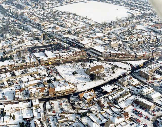 Hadleigh Town, Castle Point District10 km SE
-
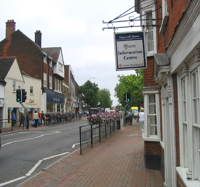 Brentwood Town, Brentwood District12 km W
-
Billericay Town, Billericay5.7 km NW
Sources & licences
Data last updated: