- Population
- 25,000
- 25K
- Elevation
- 22 m
- above sea level
- Local time
- UTC+00:00
- Europe/London · UTC+00:00
- Airports
- SEN London Southend Airport13 km
- LCY London City Airport32 km
About Pitsea
Pitsea is a town. Location: Basildon District, Essex. Population: 25,000. Elevation: 22 m.
Pitsea is a suburban town forming the eastern part of Basildon in Essex, England. Historically a separate village and parish. Pitsea was a small village until the first half of the 20th century, when it experienced significant plotlands development. In 1949, it was included in the designated area of the new town of Basildon, which led to further residential and urban development. Pitsea subsequently became part of the built-up area of Basildon.
Source: Wikipedia · CC BY-SA 4.0
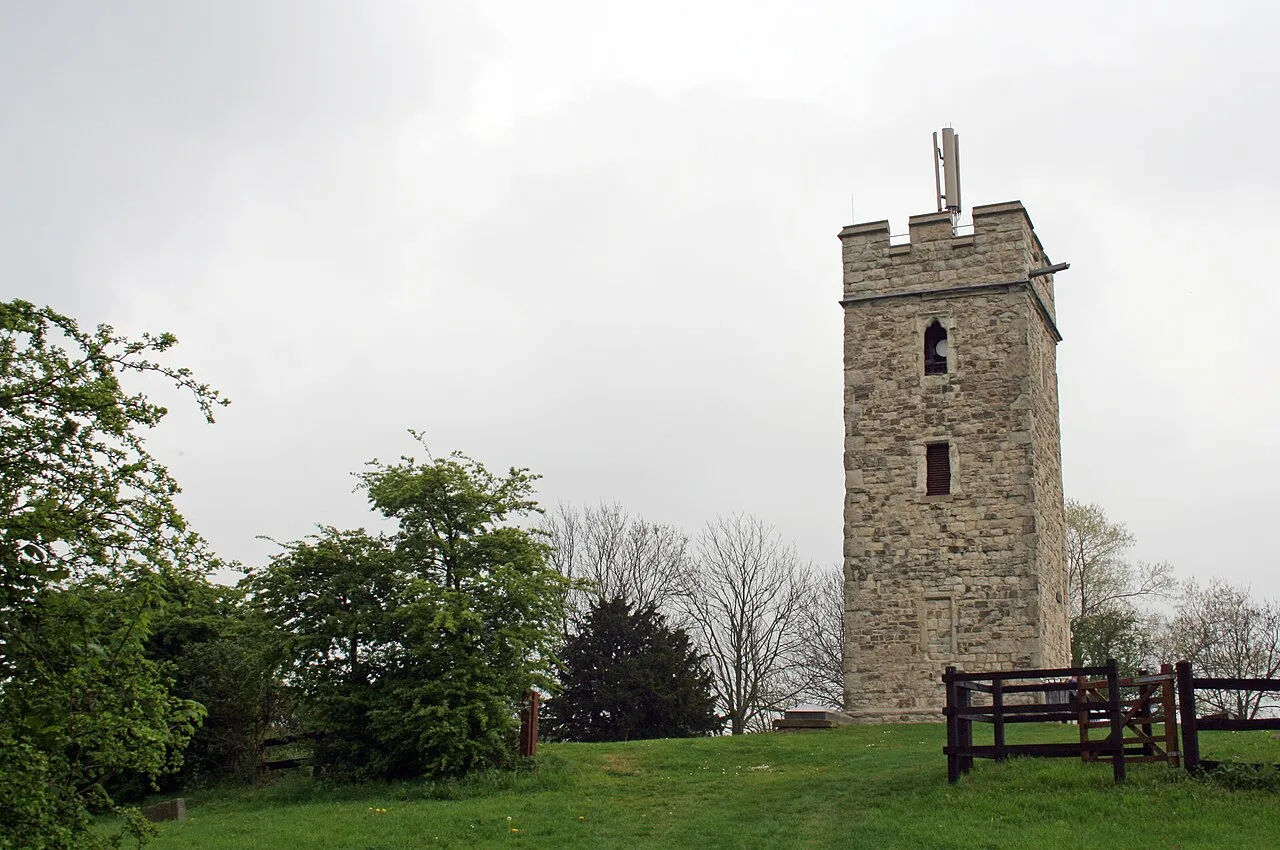
Photos of Pitsea
-

Train Photos · CC BY-SA 2.0 -

John Myers · CC BY-SA 2.0 -

David Howard · CC BY-SA 2.0 -

David Howard · CC BY-SA 2.0 -

Trevor Harris · CC BY-SA 2.0


Climate of Pitsea
Best months for sightseeingBest months for sightseeing: June–August.
This month · November
A cold month
Day 10° · Night 4° · Rain 56 mm
- Hottest month
- July (day 22°)
- Coldest month
- February (night 1°)
- Wettest month
- November (56 mm)
- Driest month
- February (33 mm)
Bars: average monthly low and high temperature. Below: precipitation. Monthly averages for 1970–2000 at about 18 km resolution, adjusted for elevation. Highlighted months are mild and relatively dry. Source: WorldClim 2.1 (CC BY 4.0).
Show values as a table
| Month | Jan | Feb | Mar | Apr | May | Jun | Jul | Aug | Sep | Oct | Nov | Dec |
|---|---|---|---|---|---|---|---|---|---|---|---|---|
| Average high (°C) | 7° | 7° | 10° | 12° | 16° | 19° | 22° | 22° | 19° | 15° | 10° | 8° |
| Average low (°C) | 2° | 1° | 3° | 4° | 7° | 10° | 12° | 12° | 10° | 7° | 4° | 3° |
| Precipitation (mm) | 52 | 33 | 41 | 38 | 41 | 52 | 39 | 48 | 50 | 55 | 56 | 51 |
How to get to Pitsea
The nearest airport is London Southend Airport (SEN), 13 km to the east as the crow flies. For international flights: London Stansted Airport (STN) (40 km). The nearest large city is Basildon, 4 km to the west.
Airports
- London Southend Airport (SEN) Southend-on-Sea, Essex 13 kmeast
- London City Airport (LCY) London 32 kmwest
- London Stansted Airport (STN) London, Essex 40 kmnorthwest
Nearby large cities
- Basildon Population: 144.9K 4 kmwest
- Southend-on-Sea Population: 295.3K 15 kmeast
- Chelmsford Population: 111.5K 19 kmnorth
- Gillingham Population: 101.2K 20 kmsouth
- Dagenham Population: 108.4K 24 kmwest
Straight-line distances; road distances are longer. Airport data: OurAirports.
Day trips from Pitsea
Within 100 km: 774 historic and cultural sites, 472 natural sites, 293 lakes, rivers and coasts.
0–25 km93 places
- Spotlites @ Kings Theatre Attraction 21 kmS
- Yantlet beach Beach 15 kmSE
- Osea Island Island 25 kmNE
- Northey Island Island 22 kmNE
25–60 km638 places
- Isle of Sheppey Island 29 kmSE
- White Hart Lane Landmark 40 kmW
- West Mersea Beach Beach 37 kmNE
- Central Beach Beach 34 kmSE
60–100 km808 places
- St Nicholas Church Shoreham Attraction 98 kmSW
- The Marlipins Museum Museum 98 kmSW
- Camber Sands Beach 73 kmS
- Sunny Sands Beach 72 kmSE
Straight-line distances.
Nearby attractions & nature
Everything nearby-
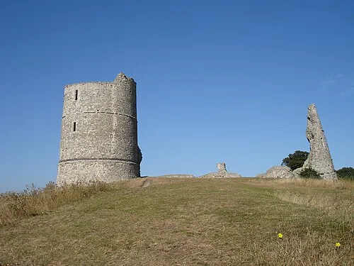 Hadleigh Castle Historic site, Castle Point District7.3 km E
-
Thundersley Hill Mountain, Castle Point District5.1 km E
-
Langdon Hill Mountain, Basildon District6.2 km W
-
Upper Horse Island, Canvey Island5.2 km S
-
Hole Haven Natural site, England6 km SE
-
Lower Horse Island, Thurrock5.5 km S
-
Canvey Island Heritage Centre & Museum Museum, Canvey Island6.1 km SE
-
Our Lady of Canvey & The English Martyrs R C Church Attraction, Canvey Island6.7 km SE
Sources & licences
Data last updated: · 2 independent sources