
- Population
- 14,915
- 14.9K
- Elevation
- 44 m
- above sea level
- Local time
- UTC+00:00
- Europe/London · UTC+00:00
- Airports
- LHR London Heathrow Airport18 km
- LCY London City Airport20 km
About Kensal Green
Kensal Green is a neighbourhood. Location: Brent, Greater London. Population: 14,915.
Kensal Green, also known as Kensal Rise, is an area shared between the London Borough of Brent and the Royal Borough of Kensington and Chelsea. The area is focussed on Harrow Road and situated about 4.4 miles (7.1 km) miles north-west of Charing Cross. Together with Kensal Town, it forms part of the northern part of North Kensington. To the west lies Harlesden, to the east are Maida Hill and Westbourne.
Source: Wikipedia · CC BY-SA 4.0
Photos of Kensal Green
-

Jim Osley · CC BY-SA 2.0 -

Andrew Abbott · CC BY-SA 2.0 -

Maggie Jones · Public domain -

amandabhslater · CC BY-SA 2.0 -

Wikimedia Commons · Public domain


Climate of Kensal Green
Best months for sightseeingBest months for sightseeing: June–August.
This month · November
A cold month
Day 11° · Night 4° · Rain 61 mm
- Hottest month
- July (day 23°)
- Coldest month
- February (night 2°)
- Wettest month
- October (64 mm)
- Driest month
- February (41 mm)
Bars: average monthly low and high temperature. Below: precipitation. Monthly averages for 1970–2000 at about 18 km resolution, adjusted for elevation. Highlighted months are mild and relatively dry. Source: WorldClim 2.1 (CC BY 4.0).
Show values as a table
| Month | Jan | Feb | Mar | Apr | May | Jun | Jul | Aug | Sep | Oct | Nov | Dec |
|---|---|---|---|---|---|---|---|---|---|---|---|---|
| Average high (°C) | 7° | 8° | 11° | 13° | 17° | 20° | 23° | 22° | 19° | 15° | 11° | 8° |
| Average low (°C) | 2° | 2° | 3° | 4° | 7° | 10° | 13° | 12° | 10° | 7° | 4° | 3° |
| Precipitation (mm) | 63 | 41 | 49 | 46 | 50 | 55 | 43 | 51 | 58 | 64 | 61 | 62 |
How to get to Kensal Green
The nearest airport is London Heathrow Airport (LHR), 18 km to the west as the crow flies. The nearest large city is City of Westminster, 7 km to the southeast.
Airports
- London Heathrow Airport (LHR) London 18 kmwest
- London City Airport (LCY) London 20 kmeast
- London Luton Airport (LTN) Luton, Luton 40 kmnorth
Nearby large cities
- City of Westminster Population: 247.6K 7 kmsoutheast
- London Population: 9M 7 kmeast
- Archway Population: 215.7K 8 kmnortheast
- Islington Population: 319.1K 9 kmeast
- Harrow Population: 149.2K 9 kmnorthwest
Straight-line distances; road distances are longer. Airport data: OurAirports.
Day trips from Kensal Green
Within 100 km: 835 historic and cultural sites, 604 natural sites, 322 lakes, rivers and coasts.
0–25 km457 places
- White Hart Lane Landmark 14 kmNE
- Holm Island Island 24 kmSW
- Sunbury Court Island 18 kmSW
- Rivermead Island 18 kmSW
25–60 km558 places
- Spotlites @ Kings Theatre Attraction 55 kmE
- The Lynch Island 47 kmW
- Canvey Island Island 56 kmE
- Two Tree Island Island 59 kmE
60–100 km746 places
- Isle of Sheppey Island 75 kmE
- St Nicholas Church Shoreham Attraction 77 kmS
- The Marlipins Museum Museum 78 kmS
- Camber Sands Beach 97 kmSE
Straight-line distances.
Nearby attractions & nature
Everything nearby-
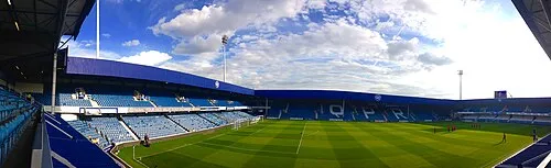 Loftus Road Landmark, Hammersmith and Fulham2.4 km S
-
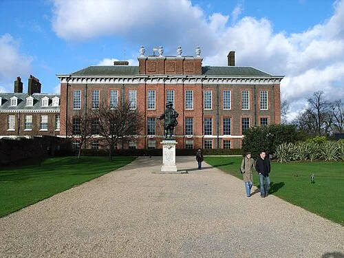 Kensington Palace Historic site, Royal Kensington and Chelsea3.8 km SE
-
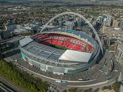 Wembley Stadium Landmark, Brent4.7 km NW
-
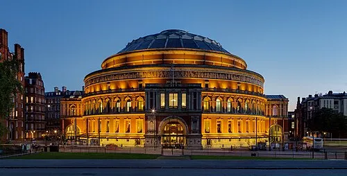 Royal Albert Hall Attraction, City of Westminster4.7 km SE
-
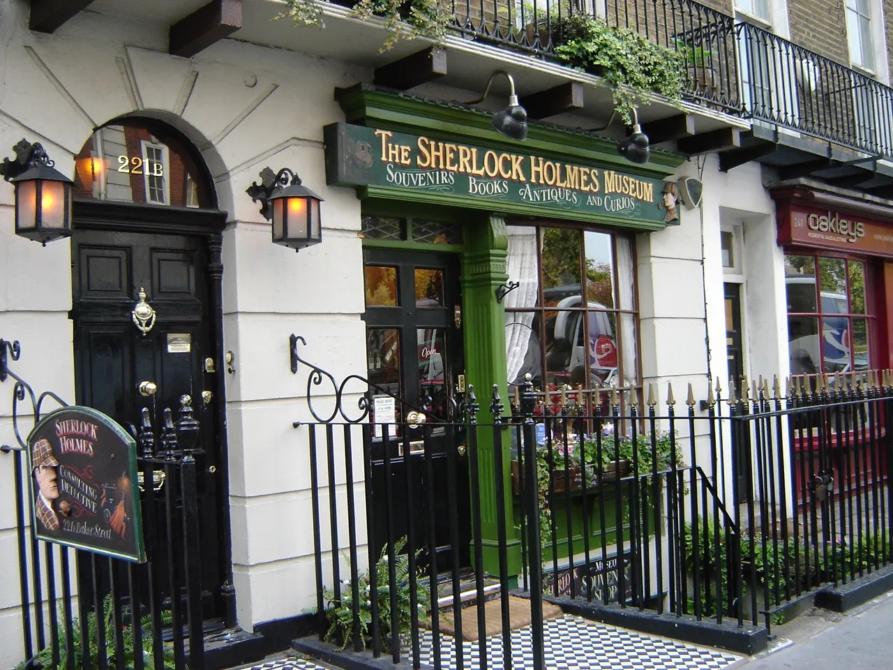 Sherlock Holmes Museum Museum, City of Westminster4.7 km E
-
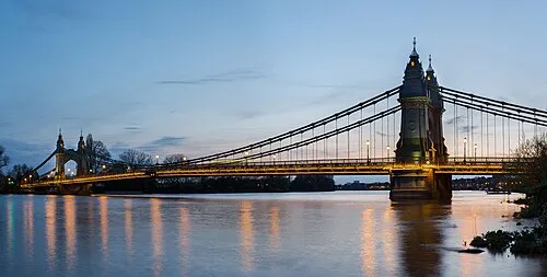 Hammersmith Bridge Landmark, Hammersmith and Fulham4.7 km S
Other cities and towns in Brent
-
 Stonebridge Neighbourhood, Brent3.1 km NW
-
 Alperton Neighbourhood, Brent4.9 km W
-
 Kingsbury Village, Brent7.1 km NW
-
Brent Neighbourhood, Brent5.9 km NW
-
 Neasden Neighbourhood, Brent2.7 km NW
-
 Dollis Hill Village, Brent3.8 km N
Sources & licences
Data last updated: · 2 independent sources