City of Westminster
Located in Greater London, England Coordinates: 51°30′46″ N 0°09′32″ W
- Population
- 247,614
- 247.6K
- Elevation
- 30 m
- above sea level
- Local time
- UTC+00:00
- Europe/London · UTC+00:00
- Places inside
- 105
- listed under City of Westminster
- Airports
- LCY London City Airport15 km
- LHR London Heathrow Airport21 km
About City of Westminster
City of Westminster is a municipality. Location: Greater London, England. Population: 247,614. Elevation: 30 m. The best months to visit are June–August. The nearest airport is London City Airport (15 km). Nearby sights include BT Tower and Kensington Palace.
Photos of City of Westminster
-
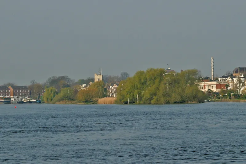
Chiswick Eyot Pointillist at English Wikipedia · Public domain -
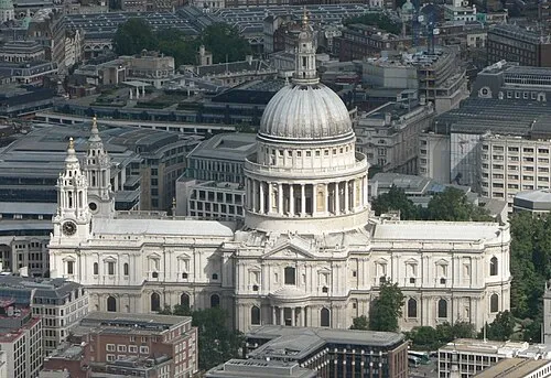
St Paul's Cathedral Mark Fosh · CC BY 2.0 -
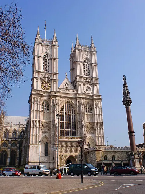
Westminster Abbey Σπάρτακος · CC BY-SA 3.0 -
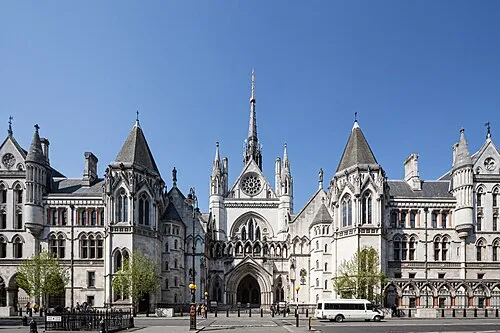
Royal Courts of Justice This image was produced by me, David Castor · CC0 -
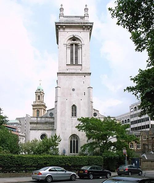
St Andrew, Holborn Steve Cadman from London, U.K · CC BY-SA 2.0


Climate of City of Westminster
Best months for sightseeingBest months for sightseeing: June–August.
This month · November
A cold month
Day 11° · Night 4° · Rain 61 mm
- Hottest month
- July (day 23°)
- Coldest month
- February (night 2°)
- Wettest month
- January (62 mm)
- Driest month
- February (40 mm)
Bars: average monthly low and high temperature. Below: precipitation. Monthly averages for 1970–2000 at about 18 km resolution, adjusted for elevation. Highlighted months are mild and relatively dry. Source: WorldClim 2.1 (CC BY 4.0).
Show values as a table
| Month | Jan | Feb | Mar | Apr | May | Jun | Jul | Aug | Sep | Oct | Nov | Dec |
|---|---|---|---|---|---|---|---|---|---|---|---|---|
| Average high (°C) | 8° | 8° | 11° | 13° | 17° | 21° | 23° | 23° | 19° | 15° | 11° | 8° |
| Average low (°C) | 2° | 2° | 3° | 4° | 7° | 10° | 13° | 13° | 10° | 7° | 4° | 3° |
| Precipitation (mm) | 62 | 40 | 47 | 45 | 48 | 53 | 42 | 49 | 57 | 61 | 61 | 59 |
How to get to City of Westminster
The nearest airport is London City Airport (LCY), 15 km to the east as the crow flies. For international flights: London Heathrow Airport (LHR) (21 km). The nearest large city is London, 2 km to the east.
Airports
- London City Airport (LCY) London 15 kmeast
- London Heathrow Airport (LHR) London 21 kmwest
- London Gatwick Airport (LGW) London 41 kmsouth
Nearby large cities
- London Population: 9M 2 kmeast
- City of Westminster Population: 247.6K 2 kmsoutheast
- Islington Population: 319.1K 5 kmnortheast
- Archway Population: 215.7K 6 kmnorth
- Tottenham Population: 130K 12 kmnortheast
Straight-line distances; road distances are longer. Airport data: OurAirports.
Day trips from City of Westminster
Within 100 km: 827 historic and cultural sites, 590 natural sites, 324 lakes, rivers and coasts.
0–25 km438 places
- White Hart Lane Landmark 12 kmNE
- Sunbury Court Island 20 kmSW
- Rivermead Island 20 kmSW
- Lot's Ait Island 10 kmW
25–60 km579 places
- Spotlites @ Kings Theatre Attraction 50 kmE
- Yantlet beach Beach 58 kmE
- The Lynch Island 51 kmW
- Canvey Island Island 52 kmE
60–100 km724 places
- Isle of Sheppey Island 70 kmE
- St Nicholas Church Shoreham Attraction 75 kmS
- The Marlipins Museum Museum 76 kmS
- Camber Sands Beach 93 kmSE
Straight-line distances.
City of Westminster and similar cities
Side by side with cities of similar size in the same country: population, elevation and climate.
| Measure | City of Westminster | City of Westminster | Northampton | Milton Keynes |
|---|---|---|---|---|
| Population | 247.6K | 247.6K | 245.9K | 256.4K |
| Elevation | 30 m | 22 m | 97 m | 114 m |
| Summer day (hottest month) | 23° | 23° | 22° | 22° |
| Winter night (coldest month) | 2° | 2° | 1° | 1° |
| Annual rainfall | 624 mm | 661 mm | 619 mm | 620 mm |
| Best months | Jun–Aug | Jun–Aug | Jun–Aug | Jun–Aug |
| Distance | — | 2 km | 96 km | 72 km |
Climate values are 1970–2000 monthly averages; straight-line distance.
Places in City of Westminster
105 placesCity of Westminster
Population: 247.6K

Maida Vale
Population: 23.2K

Pimlico
Population: 20.7K

Soho
Population: 19.6K

Bayswater
Population: 17.5K
Abbey Road
Population: 13K
- 7 Queen's Park 12.8K
- 8 Marylebone 12.2K
- 9 Westbourne 11.7K
- 10 Church Street 11.7K
- 11 Maida Hill 11.7K
- 12 Regent's Park 11.6K
- 13 West End 11.5K
- 14 Harrow Road 11.4K
- 15 Knightsbridge and Belgravia 11K
- 16 Lancaster Gate 11K
- 17 West End of London 10.6K
- 18 Little Venice 10.4K
- 19 St James's 10.4K
- 20 Vincent Square 10.3K
- 21 Hyde Park 10.3K
- 22 Knightsbridge 9.3K
Bar: population relative to the most populous place in this list.
Cities & villages10
- Baker Street · Neighbourhood
- Bayswater · Neighbourhood
- Belgravia · Neighbourhood
- Bryanston and Dorset Square · Neighbourhood
- Charing Cross · Neighbourhood
- Churchill · Neighbourhood
- Lisson Grove · Neighbourhood
- Marble Arch · Village
- Marylebone High Street · Neighbourhood
- Mayfair · Village
Mountains & nature3
- Green Park · Natural site
- Hyde Park · Natural site
- Monet Painted Here (historical) · Natural site
Lakes, rivers & coasts1
- Duck Island · Island
Heritage & sights24
- Apollo Victoria Theatre · Attraction
- Benjamin Franklin House · Historic site
- Big Ben · Landmark
- Buckingham Palace · Historic site
- Churchill War Rooms · Museum
- Clarence House · Historic site
- Constitution Arch · Landmark
- Courtauld Institute of Art · Museum
- Edith Cavell Memorial · Landmark
- Gilbert Collection · Museum
- Grosvenor Bridge · Landmark
- Guards Memorial · Landmark
- Her Majesty's Theatre · Attraction
- Hermitage Rooms · Museum
- Kensington Gardens · Attraction
- Lambeth Bridge · Landmark
- London Palladium · Attraction
- London Transport Museum · Museum
- Lord's Cricket Ground · Landmark
- Lord's Cricket Ground · Landmark
- Madame Tussauds · Museum
- National Gallery · Museum
- National Portrait Gallery · Museum
- Nelson's Column · Landmark
Nearby attractions & nature
Everything nearby-
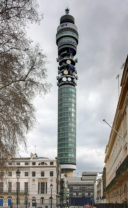 BT Tower Landmark, Camden1.7 km NE
-
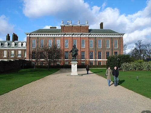 Kensington Palace Historic site, Royal Kensington and Chelsea2.1 km W
-
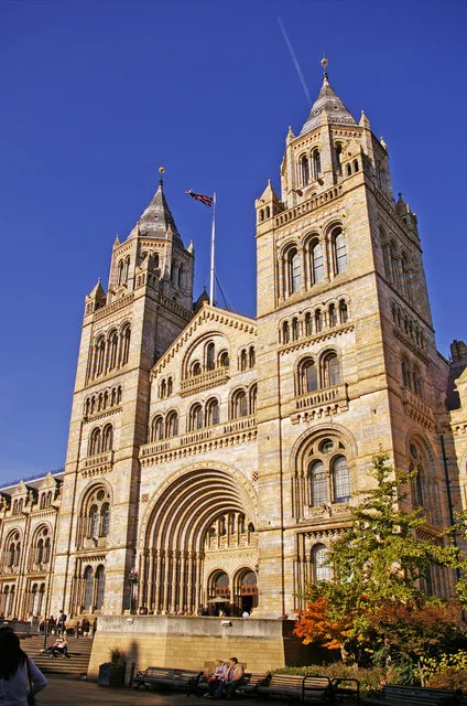 Natural History Museum Museum, Royal Kensington and Chelsea2.2 km SW
-
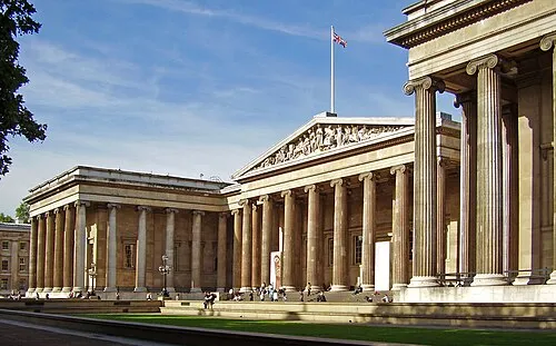 British Museum Museum, Camden2.3 km E
-
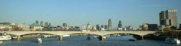 Waterloo Bridge Landmark, Lambeth3 km E
-
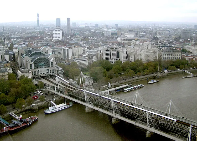 Hungerford Bridge and Golden Jubilee Bridges Landmark, Lambeth2.8 km E
-
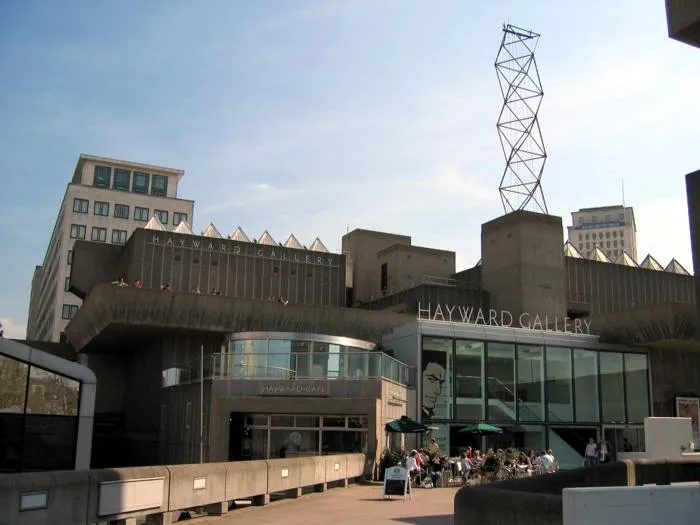 Hayward Gallery Museum, Lambeth3.1 km E
-
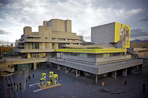 Royal National Theatre Attraction, Lambeth3.1 km E
Other cities and towns in Greater London
-
Camden Municipality, Greater London3.3 km N
-
Islington Municipality, Greater London5.1 km NE
-
Hackney Municipality, Greater London5.7 km NE
-
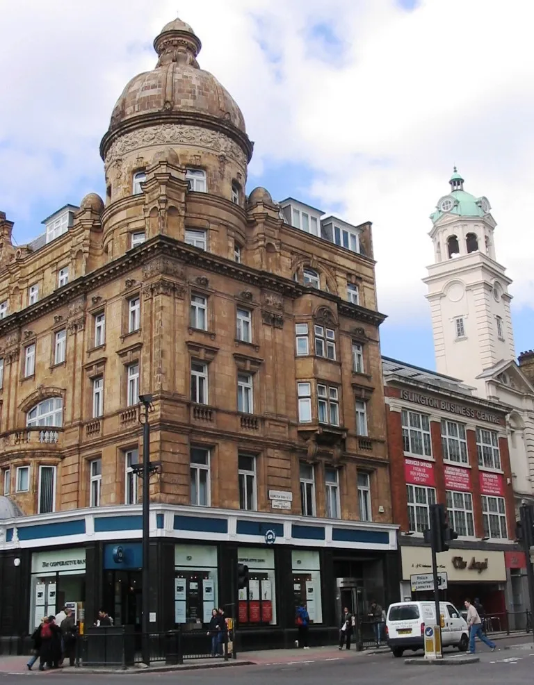 Islington City, Islington4.7 km NE
-
Wandsworth Municipality, Greater London6.6 km S
-
Hammersmith and Fulham Municipality, Greater London6.5 km W
Sources & licences
Data last updated: