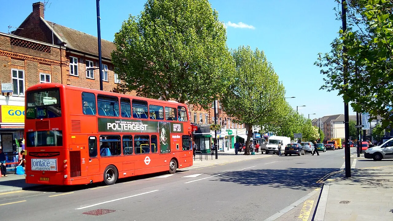
- Population
- 38,000
- 38K
- Elevation
- 34 m
- above sea level
- Local time
- UTC+00:00
- Europe/London · UTC+00:00
- Airports
- LHR London Heathrow Airport10 km
- LCY London City Airport29 km
About Greenford
Greenford is a town. Location: Ealing, Greater London. Population: 38,000. Elevation: 34 m.
Greenford () is a large town in the London Borough of Ealing in West London, London, England, lying 11 miles (18 km) west from Charing Cross. It has a population of 46,787 inhabitants. Greenford is served by Greenford Station (London Underground Central Line and Greenford branch of the Great Western Railway mainline service). South Greenford mainline station (on the A40 Western Avenue, also on the Greenford branch of the GWR) is actually in Perivale.
Source: Wikipedia · CC BY-SA 4.0
Photos of Greenford
-

Stacey Harris · CC BY-SA 2.0 -

Lewis Clarke · CC BY-SA 2.0 -

Wikimedia Commons · CC BY 4.0 -

Aubrey Morandarte from Guildford or Coventry, England · CC BY-SA 2.0 -

Sludge G · CC BY-SA 2.0


Places bordering Greenford
- Dormers Wells
Climate of Greenford
Best months for sightseeingBest months for sightseeing: June–August.
This month · November
A cold month
Day 11° · Night 4° · Rain 59 mm
- Hottest month
- July (day 23°)
- Coldest month
- February (night 2°)
- Wettest month
- October (64 mm)
- Driest month
- February (40 mm)
Bars: average monthly low and high temperature. Below: precipitation. Monthly averages for 1970–2000 at about 18 km resolution, adjusted for elevation. Highlighted months are mild and relatively dry. Source: WorldClim 2.1 (CC BY 4.0).
Show values as a table
| Month | Jan | Feb | Mar | Apr | May | Jun | Jul | Aug | Sep | Oct | Nov | Dec |
|---|---|---|---|---|---|---|---|---|---|---|---|---|
| Average high (°C) | 8° | 8° | 11° | 13° | 17° | 20° | 23° | 23° | 19° | 15° | 11° | 9° |
| Average low (°C) | 2° | 2° | 3° | 5° | 8° | 11° | 13° | 13° | 10° | 7° | 4° | 3° |
| Precipitation (mm) | 60 | 40 | 47 | 46 | 51 | 53 | 41 | 51 | 57 | 64 | 59 | 60 |
How to get to Greenford
The nearest airport is London Heathrow Airport (LHR), 10 km to the southwest as the crow flies. The nearest large city is Harrow, 6 km to the north.
Airports
- London Heathrow Airport (LHR) London 10 kmsouthwest
- London City Airport (LCY) London 29 kmeast
- London Luton Airport (LTN) Luton, Luton 39 kmnorth
Nearby large cities
- Harrow Population: 149.2K 6 kmnorth
- Watford Population: 125.7K 14 kmnorth
- City of Westminster Population: 247.6K 16 kmeast
- Archway Population: 215.7K 16 kmeast
- London Population: 9M 16 kmeast
Straight-line distances; road distances are longer. Airport data: OurAirports.
Day trips from Greenford
Within 100 km: 861 historic and cultural sites, 646 natural sites, 318 lakes, rivers and coasts.
0–25 km459 places
- White Hart Lane Landmark 22 kmNE
- Holm Island Island 16 kmSW
- Sunbury Court Island 14 kmS
- Rivermead Island 14 kmS
25–60 km544 places
- The Lynch Island 38 kmW
- Wargrave Island Island 36 kmW
- Loddon Island Island 36 kmW
- Temple Mill Island Island 30 kmW
60–100 km822 places
- Portsea Island Natural site 95 kmSW
- Isle of Sheppey Island 84 kmE
- Spotlites @ Kings Theatre Attraction 64 kmE
- St Nicholas Church Shoreham Attraction 77 kmS
Straight-line distances.
Nearby attractions & nature
Everything nearby-
Trailfinders Sports Ground Landmark, Ealing1.8 km E
-
Horsenden Hill Mountain, Ealing2.8 km NE
-
Glade Lane Mediumwave Transmitter Landmark, Ealing2.7 km S
-
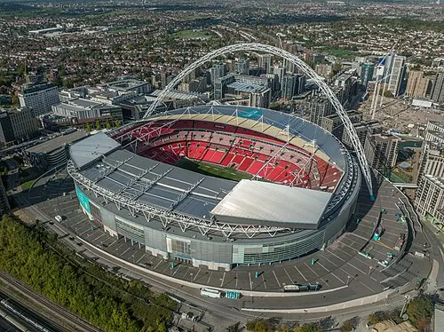 Wembley Stadium Landmark, Brent6 km NE
-
Hanger Hill Mountain, Ealing4.5 km E
-
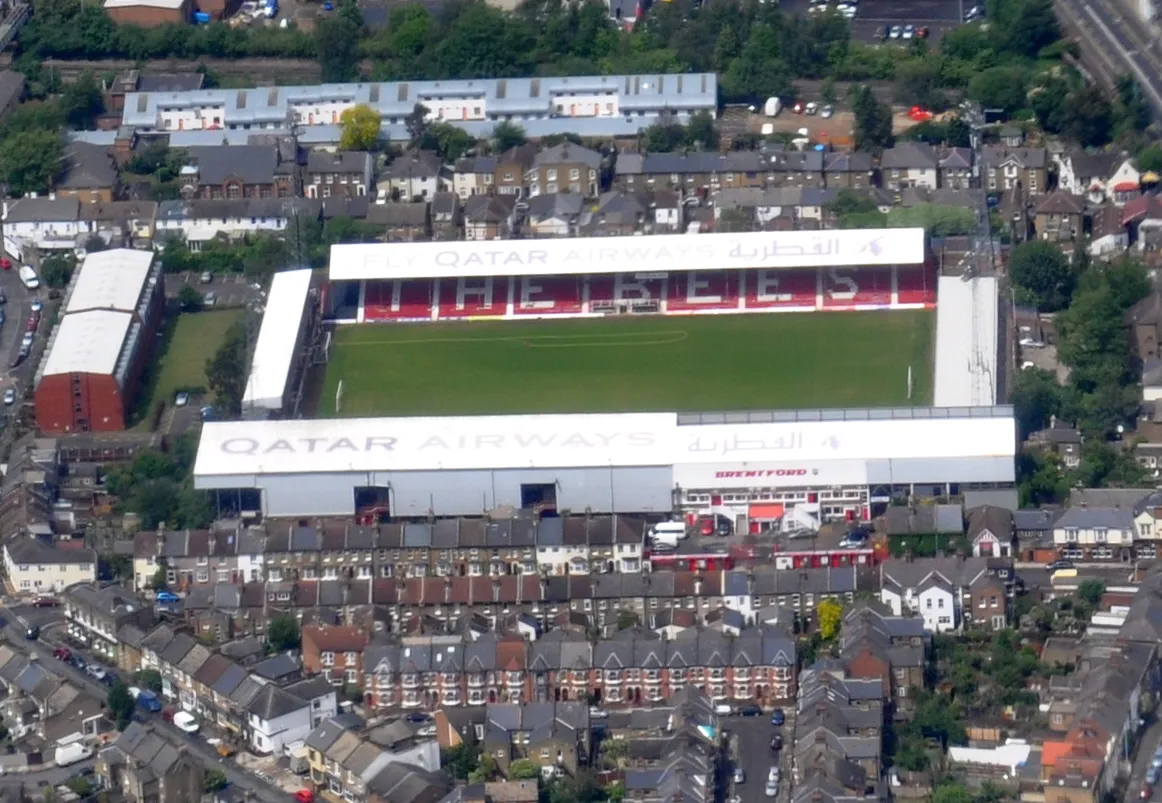 Griffin Park Landmark, Hounslow5.8 km SE
-
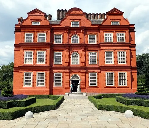 Kew Palace Historic site, Richmond upon Thames6.5 km SE
-
 Kew Bridge Landmark, Hounslow6.6 km SE
Sources & licences
Data last updated: · 2 independent sources