
- Population
- 15,339
- 15.3K
- Elevation
- 27 m
- above sea level
- Local time
- UTC+00:00
- Europe/London · UTC+00:00
- Airports
- LHR London Heathrow Airport13 km
- LCY London City Airport26 km
About Perivale
Perivale is a village. Location: Ealing, Greater London. Population: 15,339. Elevation: 27 m.
Perivale () is a mainly residential suburban town of Greater London, 9.5 miles (15.3 km) west of Charing Cross. It is the smallest of the seven towns which make up the London Borough of Ealing. Perivale is predominantly residential, with a library, community centre, a number of parks and open spaces, as well as a large industrial estate. Landmarks include the grade II* listed Art Deco Hoover Building, as well as St Mary's Church (c.
Source: Wikipedia · CC BY-SA 4.0
Photos of Perivale
-
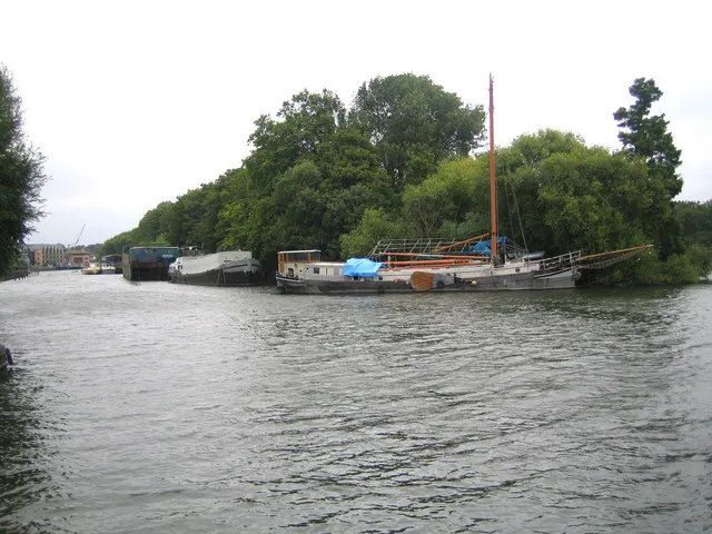
Isleworth Eyot Nigel Cox · CC BY-SA 2.0 -
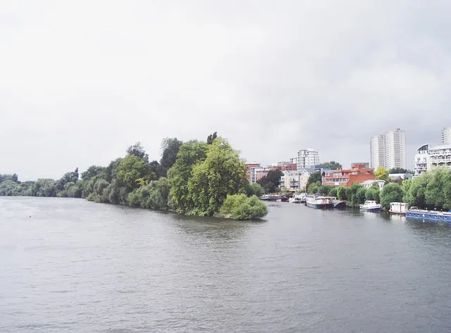
Brentford Ait David Kemp · CC BY-SA 2.0 -
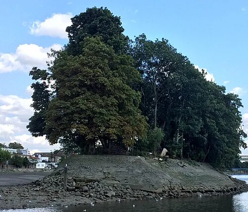
Oliver's Island Secretlondon · CC BY-SA 4.0 -
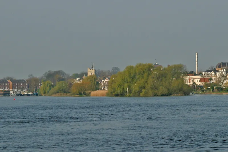
Chiswick Eyot Pointillist at English Wikipedia · Public domain -
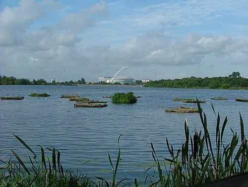
Welsh Harp Andrewself · CC BY-SA 4.0


Climate of Perivale
Best months for sightseeingBest months for sightseeing: June–August.
This month · November
A cold month
Day 11° · Night 4° · Rain 61 mm
- Hottest month
- July (day 23°)
- Coldest month
- February (night 2°)
- Wettest month
- October (64 mm)
- Driest month
- February (41 mm)
Bars: average monthly low and high temperature. Below: precipitation. Monthly averages for 1970–2000 at about 18 km resolution, adjusted for elevation. Highlighted months are mild and relatively dry. Source: WorldClim 2.1 (CC BY 4.0).
Show values as a table
| Month | Jan | Feb | Mar | Apr | May | Jun | Jul | Aug | Sep | Oct | Nov | Dec |
|---|---|---|---|---|---|---|---|---|---|---|---|---|
| Average high (°C) | 8° | 8° | 11° | 13° | 17° | 20° | 23° | 23° | 19° | 15° | 11° | 8° |
| Average low (°C) | 2° | 2° | 3° | 4° | 8° | 11° | 13° | 13° | 10° | 7° | 4° | 3° |
| Precipitation (mm) | 63 | 41 | 49 | 46 | 50 | 55 | 43 | 51 | 58 | 64 | 61 | 62 |
How to get to Perivale
The nearest airport is London Heathrow Airport (LHR), 13 km to the southwest as the crow flies. The nearest large city is Harrow, 5 km to the north.
Airports
- London Heathrow Airport (LHR) London 13 kmsouthwest
- London City Airport (LCY) London 26 kmeast
- London Luton Airport (LTN) Luton, Luton 38 kmnorth
Nearby large cities
- Harrow Population: 149.2K 5 kmnorth
- Archway Population: 215.7K 13 kmeast
- City of Westminster Population: 247.6K 13 kmeast
- London Population: 9M 13 kmeast
- Watford Population: 125.7K 14 kmnorthwest
Straight-line distances; road distances are longer. Airport data: OurAirports.
Day trips from Perivale
Within 100 km: 851 historic and cultural sites, 629 natural sites, 324 lakes, rivers and coasts.
0–25 km473 places
- White Hart Lane Landmark 18 kmNE
- Holm Island Island 19 kmSW
- Sunbury Court Island 16 kmS
- Rivermead Island 16 kmSW
25–60 km532 places
- The Lynch Island 41 kmW
- Wargrave Island Island 39 kmW
- Loddon Island Island 40 kmW
- Temple Mill Island Island 33 kmW
60–100 km799 places
- Portsea Island Natural site 98 kmSW
- Isle of Sheppey Island 81 kmE
- Spotlites @ Kings Theatre Attraction 61 kmE
- St Nicholas Church Shoreham Attraction 78 kmS
Straight-line distances.
Nearby attractions & nature
Everything nearby-
Horsenden Hill Mountain, Ealing1.3 km NW
-
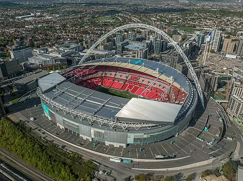 Wembley Stadium Landmark, Brent2.8 km NE
-
Hanger Hill Mountain, Ealing2.1 km SE
-
Trailfinders Sports Ground Landmark, Ealing2.1 km SW
-
Wembley Hill Mountain, Brent2.3 km NE
-
Sudbury Mountain, Brent2.7 km N
Other cities and towns in Ealing
-
 Dormers Wells Neighbourhood, Ealing4.4 km SW
-
Ealing Common Neighbourhood, Ealing3.8 km S
-
 Norwood Green Neighbourhood, Ealing6.7 km SW
-
 South Acton Neighbourhood, Ealing4.3 km SE
-
Hanger Hill Neighbourhood, Ealing1.9 km SE
-
Cleveland Neighbourhood, Ealing2 km SW
Sources & licences
Data last updated: · 2 independent sources