- Elevation
- 41 m
- above sea level
- Local time
- UTC+00:00
- Europe/London · UTC+00:00
- Airports
- LHR London Heathrow Airport12 km
- LTN London Luton Airport33 km
About River Pinn
River Pinn is a river. Location: Hillingdon, Greater London. The best months to visit are June–August. The nearest airport is London Heathrow Airport (12 km). Nearby sights include Church Field Gardens and Ruislip Manor Farm.
Photos of River Pinn
-
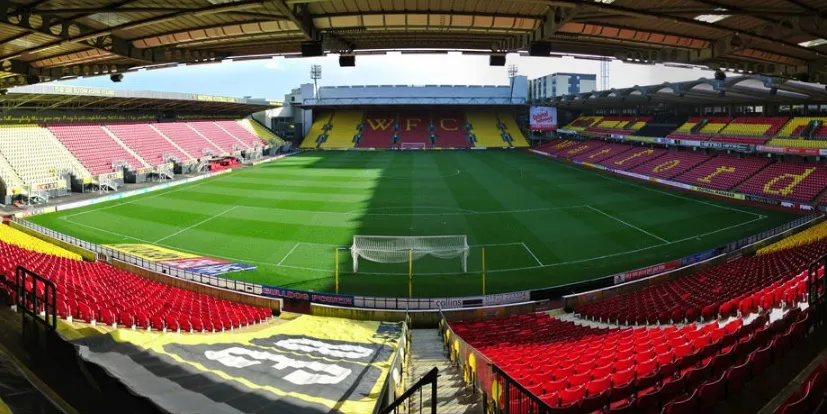
Vicarage Road Jbb503 · CC BY-SA 4.0

Climate of River Pinn
Best months for sightseeingBest months for sightseeing: June–August.
This month · November
A cold month
Day 11° · Night 4° · Rain 59 mm
- Hottest month
- July (day 23°)
- Coldest month
- February (night 2°)
- Wettest month
- October (64 mm)
- Driest month
- February (40 mm)
Bars: average monthly low and high temperature. Below: precipitation. Monthly averages for 1970–2000 at about 18 km resolution, adjusted for elevation. Highlighted months are mild and relatively dry. Source: WorldClim 2.1 (CC BY 4.0).
Show values as a table
| Month | Jan | Feb | Mar | Apr | May | Jun | Jul | Aug | Sep | Oct | Nov | Dec |
|---|---|---|---|---|---|---|---|---|---|---|---|---|
| Average high (°C) | 8° | 8° | 11° | 13° | 17° | 20° | 23° | 22° | 19° | 15° | 11° | 8° |
| Average low (°C) | 2° | 2° | 3° | 5° | 8° | 11° | 13° | 13° | 10° | 7° | 4° | 3° |
| Precipitation (mm) | 60 | 40 | 47 | 46 | 51 | 53 | 41 | 51 | 57 | 64 | 59 | 60 |
How to get to River Pinn
The nearest airport is London Heathrow Airport (LHR), 12 km to the south as the crow flies. The nearest large city is Harrow, 6 km to the east.
Airports
- London Heathrow Airport (LHR) London 12 kmsouth
- London Luton Airport (LTN) Luton, Luton 33 kmnorth
- London City Airport (LCY) London 34 kmeast
Nearby large cities
- Harrow Population: 149.2K 6 kmeast
- Watford Population: 125.7K 9 kmnorth
- Slough Population: 164.8K 14 kmsouthwest
- Archway Population: 215.7K 20 kmeast
- City of Westminster Population: 247.6K 22 kmsoutheast
Straight-line distances; road distances are longer. Airport data: OurAirports.
Day trips from River Pinn
Within 100 km: 867 historic and cultural sites, 651 natural sites, 313 lakes, rivers and coasts.
0–25 km396 places
- White Hart Lane Landmark 25 kmE
- Holm Island Island 18 kmSW
- Sunbury Court Island 19 kmS
- Rivermead Island 19 kmS
25–60 km617 places
- The Lynch Island 34 kmW
- Andersey Island Island 60 kmW
- Wargrave Island Island 32 kmW
- Loddon Island Island 33 kmW
60–100 km818 places
- Portsea Island Natural site 98 kmSW
- Isle of Sheppey Island 90 kmE
- Spotlites @ Kings Theatre Attraction 70 kmE
- St Nicholas Church Shoreham Attraction 83 kmS
Straight-line distances.
Nearest towns and villages
-
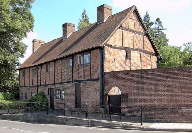 Ruislip Town, Hillingdon0.8 km S
-
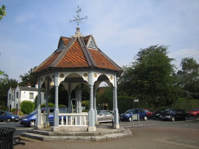 Ickenham Town, Hillingdon2.2 km SW
-
Ruislip Manor Neighbourhood, Hillingdon1.6 km SE
-
Northwood Hills Neighbourhood, Hillingdon2.3 km NE
-
South Ruislip Neighbourhood, Hillingdon3 km S
-
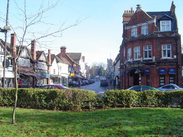 Pinner Town, Harrow3.3 km NE
Nearby attractions & nature
Everything nearby-
Church Field Gardens Natural site, Hillingdon0.5 km S
-
Ruislip Manor Farm Historic site, Hillingdon0.3 km SW
-
Denham Country Park Natural site, Hillingdon4.2 km W
-
Sandy Lane Mountain, Three Rivers4.1 km N
-
The Green, Harefield Natural site, Hillingdon4.7 km NW
-
Swakeleys House Historic site, Hillingdon3 km SW
-
Park Wood Nature Reserve Natural site, Hillingdon5.4 km NW
-
Batchworth Heath Mountain, Three Rivers4.9 km N
Sources & licences
Data last updated: