- Population
- 14,370
- 14.4K
- Elevation
- 29 m
- above sea level
- Local time
- UTC+00:00
- Europe/London · UTC+00:00
- Airports
- LHR London Heathrow Airport3 km
- LCY London City Airport36 km
About West Drayton
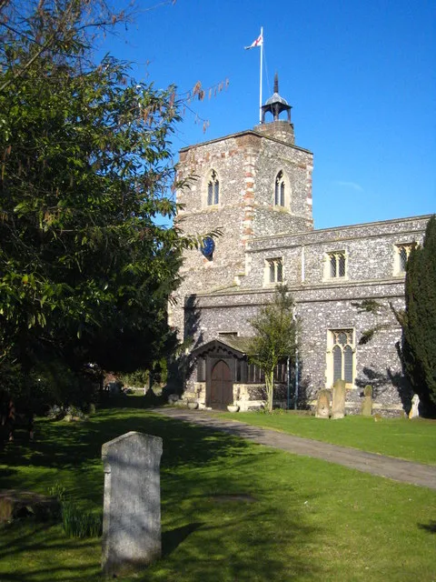
West Drayton is a town. Location: Hillingdon, Greater London. Population: 14,370. Elevation: 29 m.
West Drayton is a suburban town in the London Borough of Hillingdon. It was an ancient parish in the county of Middlesex and from 1929 was part of the Yiewsley and West Drayton Urban District, which became part of Greater London in 1965. The settlement is near the Colne Valley Regional Park and its centre lies 1.9 miles (3 km) north of Heathrow Airport. Traditionally the Parish of West Drayton covers 3.4 square kilometres (1.3 sq mi). In 1901 the population of the civil parish was 984.
Source: Wikipedia · CC BY-SA 4.0
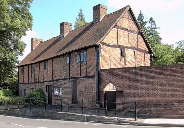
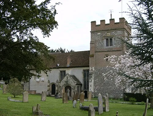
Photos of West Drayton
-

Doyle of London · CC BY-SA 4.0 -

Doyle of London · CC BY-SA 4.0 -

Doyle of London · CC BY-SA 4.0


Climate of West Drayton
Best months for sightseeingBest months for sightseeing: June–August.
This month · November
A cold month
Day 11° · Night 4° · Rain 58 mm
- Hottest month
- July (day 23°)
- Coldest month
- February (night 2°)
- Wettest month
- October (62 mm)
- Driest month
- February (38 mm)
Bars: average monthly low and high temperature. Below: precipitation. Monthly averages for 1970–2000 at about 18 km resolution, adjusted for elevation. Highlighted months are mild and relatively dry. Source: WorldClim 2.1 (CC BY 4.0).
Show values as a table
| Month | Jan | Feb | Mar | Apr | May | Jun | Jul | Aug | Sep | Oct | Nov | Dec |
|---|---|---|---|---|---|---|---|---|---|---|---|---|
| Average high (°C) | 8° | 8° | 11° | 13° | 17° | 21° | 23° | 23° | 19° | 15° | 11° | 9° |
| Average low (°C) | 2° | 2° | 3° | 5° | 8° | 11° | 13° | 13° | 10° | 7° | 4° | 3° |
| Precipitation (mm) | 59 | 38 | 45 | 44 | 48 | 51 | 40 | 48 | 56 | 62 | 58 | 59 |
How to get to West Drayton
The nearest airport is London Heathrow Airport (LHR), 3 km to the south as the crow flies. The nearest large city is Slough, 9 km to the west.
Airports
- London Heathrow Airport (LHR) London 3 kmsouth
- London City Airport (LCY) London 36 kmeast
- London Luton Airport (LTN) Luton, Luton 42 kmnorth
Nearby large cities
- Slough Population: 164.8K 9 kmwest
- Harrow Population: 149.2K 13 kmnortheast
- Watford Population: 125.7K 18 kmnorth
- Woking Population: 103.9K 21 kmsouth
- City of Westminster Population: 247.6K 23 kmeast
Straight-line distances; road distances are longer. Airport data: OurAirports.
Day trips from West Drayton
Within 100 km: 874 historic and cultural sites, 664 natural sites, 315 lakes, rivers and coasts.
0–25 km359 places
- Holm Island Island 8 kmSW
- Sunbury Court Island 11 kmSE
- Rivermead Island 11 kmSE
- Lot's Ait Island 12 kmE
25–60 km666 places
- White Hart Lane Landmark 30 kmNE
- The Lynch Island 30 kmW
- Andersey Island Island 59 kmW
- Wargrave Island Island 28 kmW
60–100 km828 places
- Portsea Island Natural site 88 kmSW
- Isle of Sheppey Island 91 kmE
- Spotlites @ Kings Theatre Attraction 71 kmE
- St Nicholas Church Shoreham Attraction 74 kmS
Straight-line distances.
Nearby attractions & nature
Everything nearby-
Heathrow Airport Mediumwave Transmitter Landmark, Hillingdon2.3 km SE
-
Church Road Landmark, Hillingdon3.5 km NE
-
Cranford Bridge Historic site, Hounslow4.1 km SE
-
The Vale (Heston) Mountain, Hounslow5.9 km E
-
Swakeleys House Historic site, Hillingdon6.8 km N
-
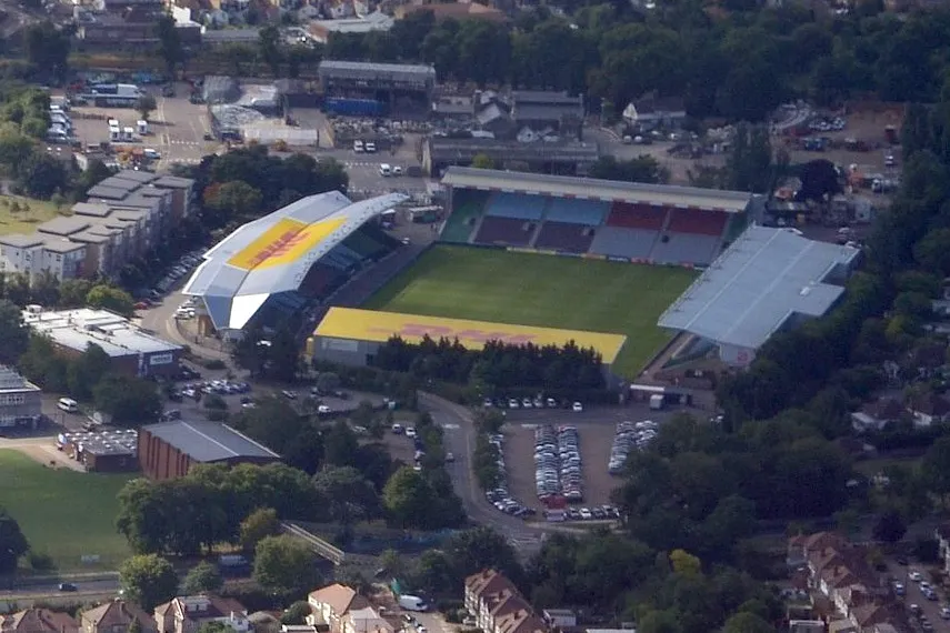 The Stoop Landmark, Richmond upon Thames10 km SE
-
Denham Country Park Natural site, Hillingdon8.2 km N
-
Glade Lane Mediumwave Transmitter Landmark, Ealing7.4 km E
Other cities and towns in Hillingdon
Sources & licences
Data last updated: · 2 independent sources