- Population
- 6,573
- 6.6K
- Elevation
- 87 m
- above sea level
- Local time
- UTC+00:00
- Europe/London · UTC+00:00
- Airports
- LHR London Heathrow Airport15 km
- LTN London Luton Airport31 km
About Harefield
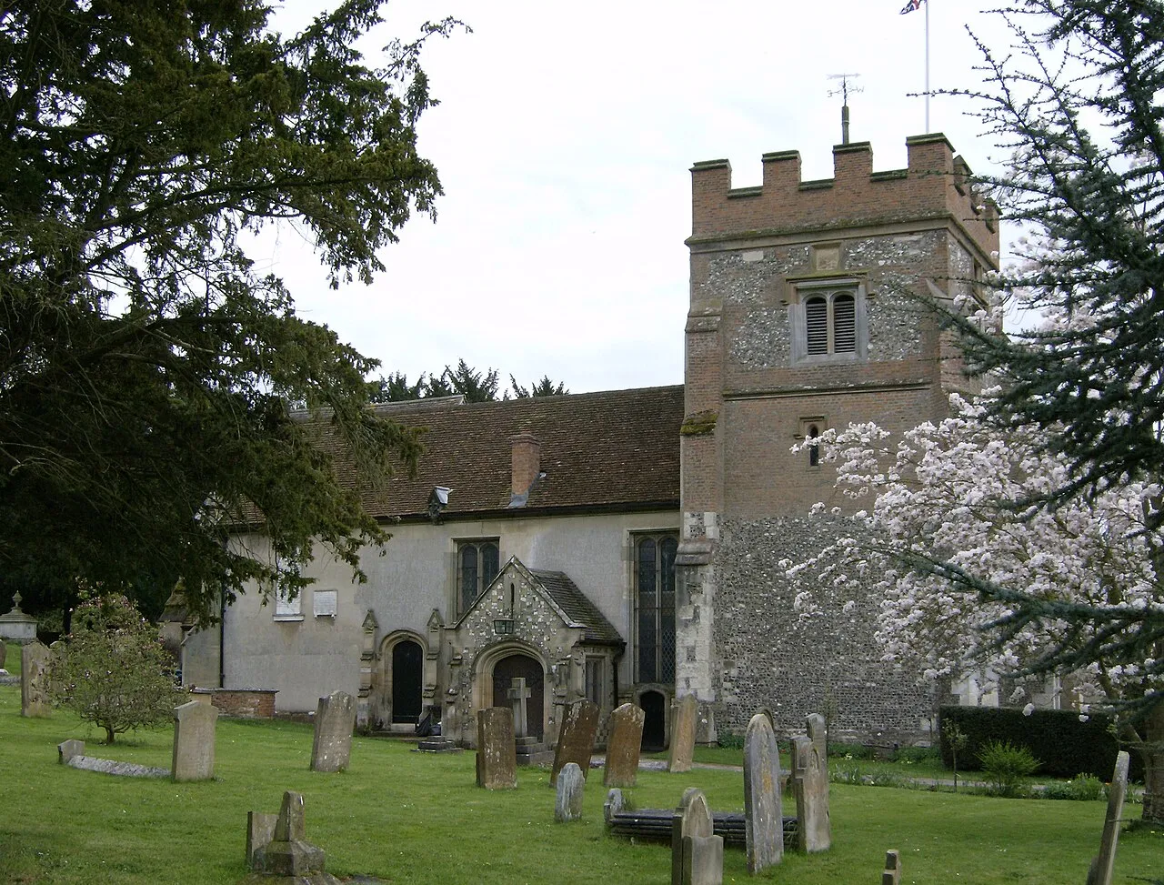
Harefield is a town. Location: Hillingdon, Greater London. Population: 6,573. Elevation: 87 m.
Harefield is a village in the London Borough of Hillingdon, England, 17 miles (27 km) northwest of Charing Cross near Greater London's boundary with Buckinghamshire to the west and Hertfordshire to the north. The population at the 2011 Census was 7,399. Nearby areas include: Denham, Ickenham, Northwood, Rickmansworth, Ruislip and Uxbridge. Pioneering heart surgery techniques were developed at Harefield Hospital.
Source: Wikipedia · CC BY-SA 4.0
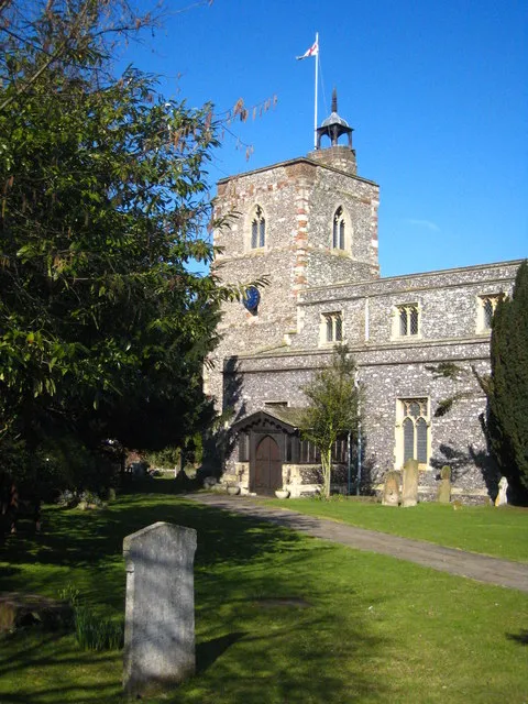
Photos of Harefield
-

Stacey Harris · CC BY-SA 2.0 -

Peter O'Connor aka anemoneprojectors · CC BY-SA 2.0 -

Ewan Munro from London, UK · CC BY-SA 2.0 -

Harrison49 · CC BY-SA 3.0 -

Peter · CC BY-SA 2.0


Climate of Harefield
Best months for sightseeingBest months for sightseeing: June–August.
This month · November
A cold month
Day 10° · Night 4° · Rain 59 mm
- Hottest month
- July (day 22°)
- Coldest month
- February (night 1°)
- Wettest month
- October (64 mm)
- Driest month
- February (40 mm)
Bars: average monthly low and high temperature. Below: precipitation. Monthly averages for 1970–2000 at about 18 km resolution, adjusted for elevation. Highlighted months are mild and relatively dry. Source: WorldClim 2.1 (CC BY 4.0).
Show values as a table
| Month | Jan | Feb | Mar | Apr | May | Jun | Jul | Aug | Sep | Oct | Nov | Dec |
|---|---|---|---|---|---|---|---|---|---|---|---|---|
| Average high (°C) | 7° | 8° | 10° | 13° | 17° | 20° | 22° | 22° | 19° | 15° | 10° | 8° |
| Average low (°C) | 2° | 1° | 3° | 4° | 7° | 10° | 13° | 12° | 10° | 7° | 4° | 3° |
| Precipitation (mm) | 60 | 40 | 47 | 46 | 51 | 53 | 41 | 51 | 57 | 64 | 59 | 60 |
How to get to Harefield
The nearest airport is London Heathrow Airport (LHR), 15 km to the south as the crow flies. The nearest large city is Watford, 8 km to the northeast.
Airports
- London Heathrow Airport (LHR) London 15 kmsouth
- London Luton Airport (LTN) Luton, Luton 31 kmnorth
- London City Airport (LCY) London 39 kmeast
Nearby large cities
- Watford Population: 125.7K 8 kmnortheast
- Harrow Population: 149.2K 11 kmeast
- Slough Population: 164.8K 13 kmsouthwest
- High Wycombe Population: 133.2K 19 kmwest
- Archway Population: 215.7K 25 kmeast
Straight-line distances; road distances are longer. Airport data: OurAirports.
Day trips from Harefield
Within 100 km: 879 historic and cultural sites, 658 natural sites, 311 lakes, rivers and coasts.
0–25 km233 places
- Holm Island Island 19 kmS
- Sunbury Court Island 22 kmS
- Rivermead Island 23 kmS
- Lot's Ait Island 19 kmSE
25–60 km793 places
- White Hart Lane Landmark 29 kmE
- The Lynch Island 31 kmSW
- Andersey Island Island 55 kmW
- Wargrave Island Island 29 kmW
60–100 km822 places
- Portsea Island Natural site 98 kmSW
- Isle of Sheppey Island 94 kmE
- Spotlites @ Kings Theatre Attraction 75 kmE
- St Nicholas Church Shoreham Attraction 86 kmS
Straight-line distances.
Nearby attractions & nature
Everything nearby-
Saint Paul's Roman Catholic Church Attraction, Hillingdon0.1 km E
-
The Green, Harefield Natural site, Hillingdon0.4 km NE
-
Park Wood Nature Reserve Natural site, Hillingdon0.7 km N
-
Park Wood Natural site, Hillingdon0.9 km NW
-
Horse Shoe Bay Natural site, Three Rivers0.9 km W
-
River Colne River, Hillingdon0.8 km W
-
Tumbling Bay Natural site, Three Rivers1.6 km NW
-
Pynesfield Lake Lake, Three Rivers1.5 km NW
Other cities and towns in Hillingdon
-
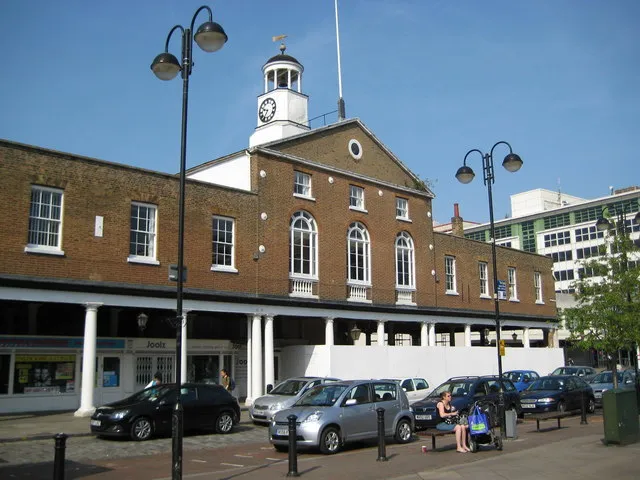 Uxbridge Town, Hillingdon6.1 km S
-
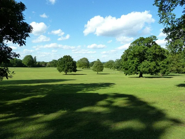 Hillingdon Town, Hillingdon8.2 km S
-
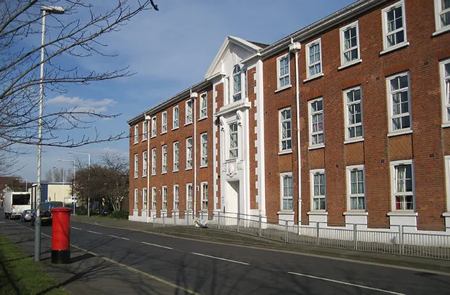 Hayes Town, Hillingdon11 km SE
-
 West Drayton Town, Hillingdon12 km S
Sources & licences
Data last updated: · 2 independent sources