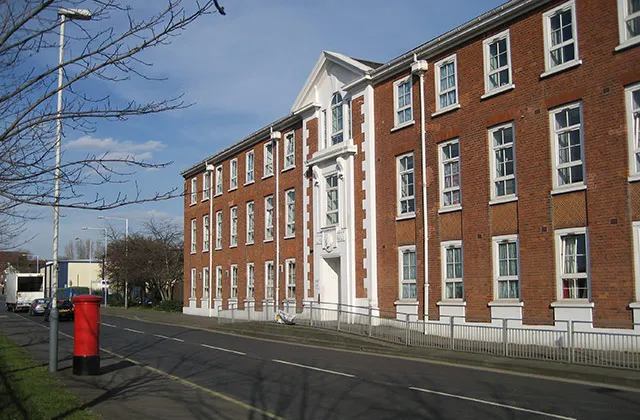
- Population
- 93,928
- 93.9K
- Elevation
- 39 m
- above sea level
- Local time
- UTC+00:00
- Europe/London · UTC+00:00
- Airports
- LHR London Heathrow Airport6 km
- LCY London City Airport33 km
About Hayes
Hayes is a town. Location: Hillingdon, Greater London. Population: 93,928. Elevation: 39 m.
Hayes is a town in west London. Historically situated within the county of Middlesex, it is now part of the London Borough of Hillingdon. The town's population, including its localities Hayes End, Harlington and Yeading, was recorded in the 2021 census as 93,928. It is situated 13 miles (21 km) west of Charing Cross, or 6.5 miles (10.5 km) east of Slough. Hayes is served by the Great Western Main Line, and Hayes & Harlington railway station is on the Elizabeth line.
Source: Wikipedia · CC BY-SA 4.0
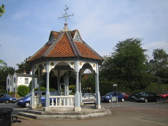
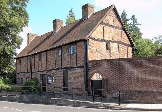
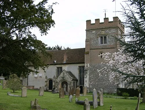
Photos of Hayes
-

James Emmans · CC BY-SA 2.0 -

Des Blenkinsopp · CC BY-SA 2.0 -

Sludge G · CC BY-SA 2.0 -

Sludge G · CC BY-SA 2.0 -

Rodolph · CC BY-SA 3.0


Places bordering Hayes
- Ealing
- Greenford
- Hounslow
- Northolt
- Southall
- Uxbridge
- Yeading
- West Drayton
Climate of Hayes
Best months for sightseeingBest months for sightseeing: June–August.
This month · November
A cold month
Day 11° · Night 4° · Rain 59 mm
- Hottest month
- July (day 23°)
- Coldest month
- February (night 2°)
- Wettest month
- October (64 mm)
- Driest month
- February (40 mm)
Bars: average monthly low and high temperature. Below: precipitation. Monthly averages for 1970–2000 at about 18 km resolution, adjusted for elevation. Highlighted months are mild and relatively dry. Source: WorldClim 2.1 (CC BY 4.0).
Show values as a table
| Month | Jan | Feb | Mar | Apr | May | Jun | Jul | Aug | Sep | Oct | Nov | Dec |
|---|---|---|---|---|---|---|---|---|---|---|---|---|
| Average high (°C) | 8° | 8° | 11° | 13° | 17° | 20° | 23° | 22° | 19° | 15° | 11° | 8° |
| Average low (°C) | 2° | 2° | 3° | 5° | 8° | 11° | 13° | 13° | 10° | 7° | 4° | 3° |
| Precipitation (mm) | 60 | 40 | 47 | 46 | 51 | 53 | 41 | 51 | 57 | 64 | 59 | 60 |
How to get to Hayes
The nearest airport is London Heathrow Airport (LHR), 6 km to the southwest as the crow flies. The nearest large city is Harrow, 9 km to the northeast.
Airports
- London Heathrow Airport (LHR) London 6 kmsouthwest
- London City Airport (LCY) London 33 kmeast
- London Luton Airport (LTN) Luton, Luton 40 kmnorth
Nearby large cities
- Harrow Population: 149.2K 9 kmnortheast
- Slough Population: 164.8K 12 kmwest
- Watford Population: 125.7K 16 kmnorth
- City of Westminster Population: 247.6K 20 kmeast
- London Population: 9M 21 kmeast
Straight-line distances; road distances are longer. Airport data: OurAirports.
Day trips from Hayes
Within 100 km: 870 historic and cultural sites, 657 natural sites, 317 lakes, rivers and coasts.
0–25 km418 places
- Holm Island Island 11 kmSW
- Sunbury Court Island 12 kmS
- Rivermead Island 12 kmS
- Lot's Ait Island 9 kmE
25–60 km591 places
- White Hart Lane Landmark 27 kmE
- The Lynch Island 33 kmW
- Wargrave Island Island 31 kmW
- Loddon Island Island 31 kmW
60–100 km835 places
- Portsea Island Natural site 91 kmSW
- Isle of Sheppey Island 88 kmE
- Spotlites @ Kings Theatre Attraction 68 kmE
- St Nicholas Church Shoreham Attraction 76 kmS
Straight-line distances.
Hayes and similar cities
Side by side with cities of similar size in the same country: population, elevation and climate.
| Measure | Hayes | Darlington | Southport | Chester |
|---|---|---|---|---|
| Population | 93.9K | 92.4K | 91.7K | 90.5K |
| Elevation | 39 m | 40 m | 9 m | 34 m |
| Summer day (hottest month) | 23° | 20° | 20° | 20° |
| Winter night (coldest month) | 2° | 1° | 2° | 1° |
| Annual rainfall | 629 mm | 674 mm | 800 mm | 695 mm |
| Best months | Jun–Aug | Jun–Sep | Jun–Sep | Jun–Aug |
| Distance | — | 343 km | 295 km | 251 km |
Climate values are 1970–2000 monthly averages; straight-line distance.
Nearby attractions & nature
Everything nearby-
Church Road Landmark, Hillingdon0.1 km SE
-
Heathrow Airport Mediumwave Transmitter Landmark, Hillingdon3.9 km SW
-
Cranford Bridge Historic site, Hounslow3.8 km S
-
The Vale (Heston) Mountain, Hounslow4.3 km SE
-
Glade Lane Mediumwave Transmitter Landmark, Ealing4.6 km E
-
Swakeleys House Historic site, Hillingdon5.3 km N
-
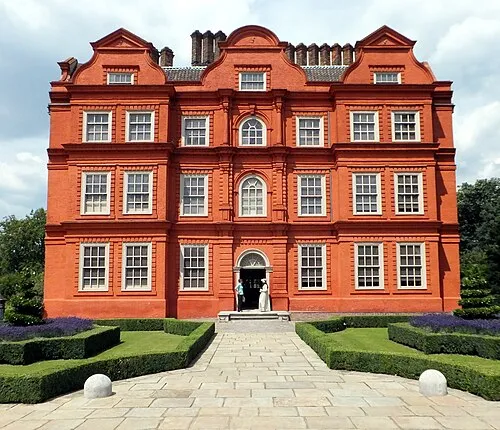 Kew Palace Historic site, Richmond upon Thames9.6 km E
-
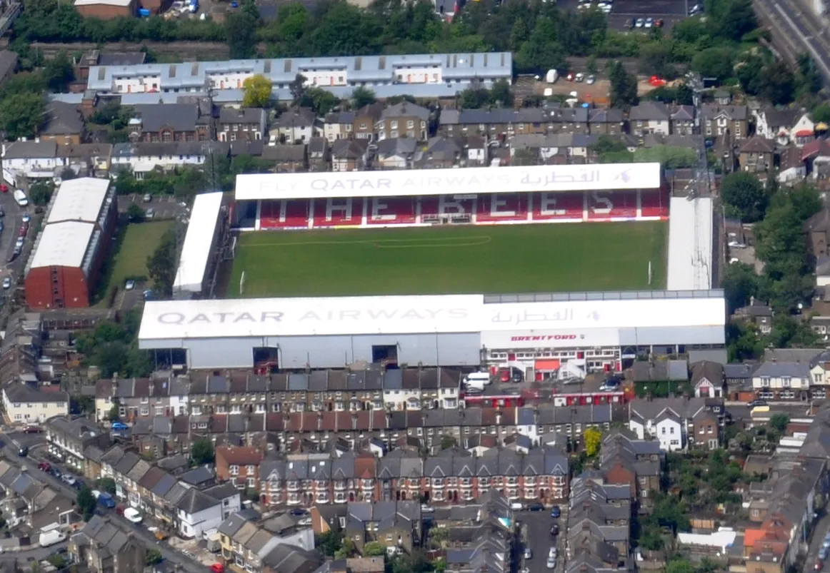 Griffin Park Landmark, Hounslow8.9 km E
Other cities and towns in Hillingdon
Sources & licences
Data last updated: · 2 independent sources